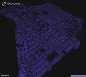
Geoscape Roads, Rail and Airports offer a detailed spatial picture of Australia’s transport network.
Geoscape Transport offers a single source of detailed, authoritative datasets with national consistency. It provides a reliable base map for transport analysis, infrastructure planning, urban planning and more. Combining Roads, Rail and Airports can enhance the analysis of intermodal transportation for freight route optimisation.
With Geoscape you can have the confidence that the transport data you’re using is grounded in authoritative sources and is continuously updated.
Get in touch with us
Datasets available as part of Geoscape Transport
Roads
Geoscape Roads is a digital representation of Australia’s road infrastructure and includes public, private and rural roads.
It aggregates road networks across the county into a single network, with connectivity at state and territory borders. Improved description of road infrastructure delivers consistency in road geometry and attributes across states and territories. Roads are defined and classified at the national level while being grounded in government-held road records.
Road centrelines from state and territory governments form the basis of the roads network. Connectivity at borders is reviewed against high-quality imagery and other reference data and corrected to produce a national road network.
Rail
Geoscape Rail is a digital representation of railway lines and stations, including light rail. Rail can be used in combinations with other Geoscape datasets, such as Cadastre, for insights into the built environment and site analysis, development planning, sound modelling, maintenance assessment and infrastructure modelling.
Airports
Geoscape Airports is a digital representation of landing strips in Australia. It’s an optimised aggregated national view of landing strip spatial information often combined with other data, such as roads, for a full analysis of transport networks. Airports provide a point of interest in mapping and analysis. For example, you can determine the distance between properties and airports in analysis of property values.
How can you use Roads, Rail and Airports data?
Transport Planning
Enhance your transport analytics and cross-border route planning. As a digital representation of a connected road network, Geoscape Roads is a base for analysis and decision-making.
Traffic Modelling
Use the national, authoritative roads data in Geoscape Roads to model traffic flow and congestion. Analyse and predict the impact of new infrastructure developments or major events.
Emergency Management
Authoritative national information about highways, main roads, coastlines, major drainage, railway line, and key locality points is critical to emergency response planning, management and delivery.
Service Delivery
Undertake service delivery analysis, including remoteness indexing and service centre location placement, using transport network data and topography information.
Fuel Tax Calculator
Companies operating vehicles in Australia can claim Fuel Tax Credit if they prove ‘off road’ operations. Use roads data to distinguish between private and public roads and calculate your Road Use Change refund.
Mapping
Represent Australia’s roads on a map or other method of visual display. Use the road geometry, name labels, route numbers and consistent classifications in Geoscape Roads for your visualisation.
Learn more about Datasets Attributes
Roads data attributes describe each road’s characteristics.
- Road hierarchy, for example, national or state highway, arterial road or local road.
- National and state route numbers.
- Road type, for example, road, roundabout, tunnel or bridge.
- The number of lanes.
- One-way or two-way traffic direction.
- Public or private road access.
- Road surface – sealed or unsealed.
- Minimum vehicle type required, for example, 2WD.
- Coordinates of latitude and longitude.
Rail lines and stations represent the freight, passenger and light rail networks.
- Railway Lines a national spatial linear representation of rail.
- Rail Names provide the names of the railway lines.
- Rail stations represent the location and name for Rail Stations across the rail network.
- Hierarchy identifying whether a rail line is publicly or privately owned.
Airports, landing strips, taxiways.
- Airports provide the location of each airport across Australia.
- Airport Name identifying the name of the airport.
- Airport landing strips and taxiways are represented by spatial pictures.
Experience Geoscape Transport
National Datasets
Whole-of-Australia data, when you just need it all.
Formats:
- ESRI Shapefile
- MapInfo TAB
- File Geodatabase (Roads only)
- GeoJSON (Roads only)
Try sample data
Want to try it out? Check out our sample data visualisation and download our Chatswood sample area.

Trusted by
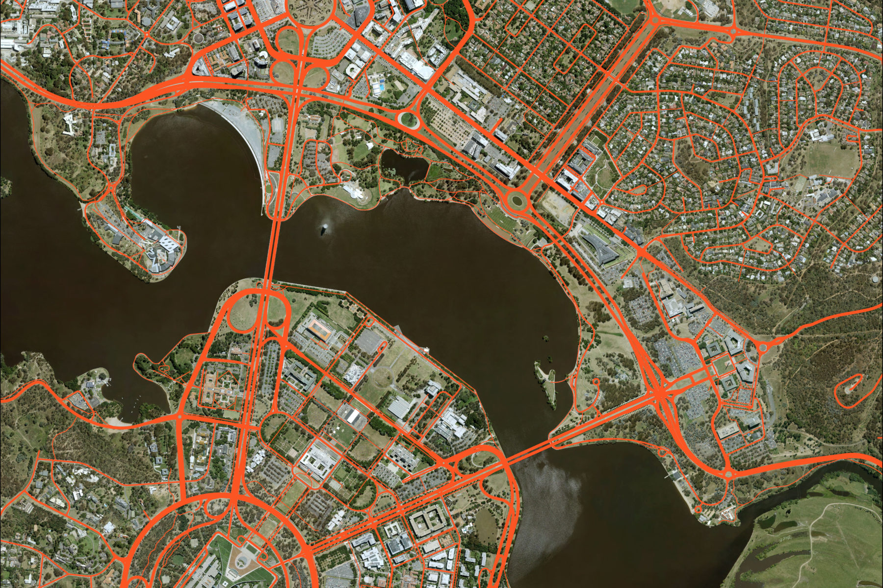
Banner image – created using aerial imagery © Aerometrex Ltd 2022, and Geoscape Roads © Geoscape Australia 2022 Copyright and Disclaimer Notice
