
Transform how your bank or superfund understands, manages, and grows its portfolio with accurate, trusted national location intelligence.
Why this matters now
APS 112
Accurate property and title data is essential for capital adequacy and compliance.
CPG 229
Physical and transition climate risk must be assessed across portfolios.
Reputation Risk
Regulators, investors, and the media demand credible climate action and ESG transparency.
Data Accuracy
Up to 20% of portfolio records may be wrong – errors in names, addresses, property details, or missing mortgages severely hamper risk decisions and reporting
How Geoscape Helps
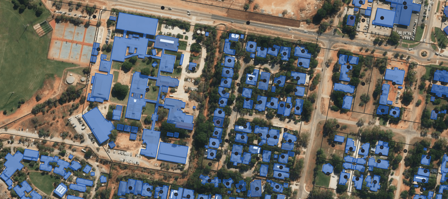
Verify and locate
- Validate customer records and addresses for every mortgage
- Standardise portfolio data using persistent location IDs across address, building and parcel
- Resolve addressing issues including strata, retirements and complex sites

Analyse and enrich
- Enrich every property with floor area, building height, construction year, land use and more.
- Add first floor elevation, roof material, irrigation and canopy cover for risk and ESG assessments
- Connect parcel, property, title and strata data to deliver true spatial enablement
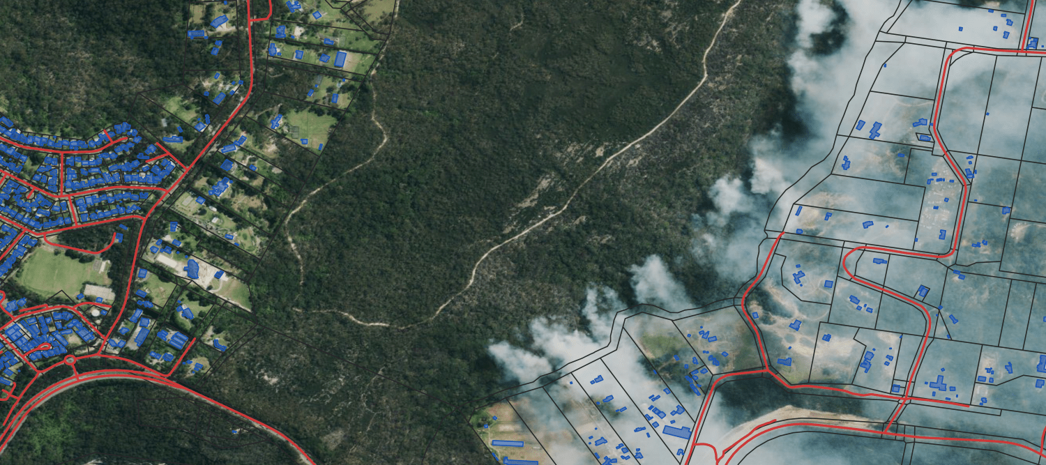
Risk, climate, ESG insights and corporate resilience
- Assess hazard exposure and resilience at the individual property level
- Estimate carbon emissions using building data and detect land use change or deforestation
- Identify candidates for green loans and support net zero lending strategies
Customer & portfolio insights
-
Spatial enablement of land title unlocks market intelligence to improve retention and market share.
Outcomes for Banks
Compliance
Accurate, regulator-ready data aligned with APS 112 and CPG 229
Risk Clarity
Visibility into climate risks, exposure and property-level vulnerabilities
Sustainable Finance
Trusted data for emissions, biodiversity and green loans
Customer Growth
Improved targeting, retention and market expansion
Operational Efficiency
Automate reviews and reduce cost and manual effort

Some images on this webpage were created using aerial imagery © Aerometrex Ltd.