Join the leading organisations using Geoscape powerful location data

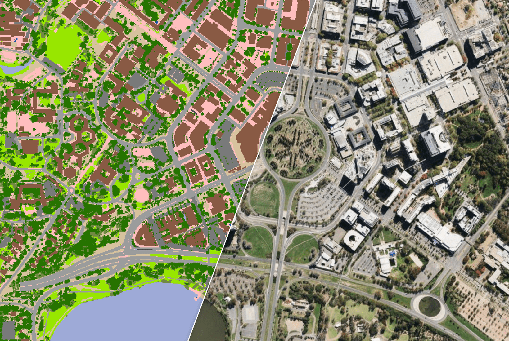
Geoscape’s trusted location data delivers a clear picture of our complex cities, regional centres and rural communities as they change. We combine data derived from satellite and aerial imagery with data from private and public sources, including the governments of Australia. Our data is continually updated and available in a variety of formats for easy integration and flexibility of use.

Geoscape Data Evaluation Program for Government

Government

Be it for managing emergencies, understanding the threat posed by climate change, modelling infrastructure or reducing the barrier to interaction with the public at large, location intelligence plays an important role.  

location data for insurance

Insurance

Precise location can help underwrite and set premiums, identify the potential risks or disasters in an area and detect fraudulent claims.

Row Image

Banking and Financial Services

Identify risks, analyse patterns and get customer insight with location data.

location intelligence for retail

Retail and E-Commerce

Analyse consumer patterns and respond in real time to customer needs using location data.

location intelligence for system integrators

System Integrators

Customise, enrich and deliver into customer environment with location intelligence.

location intelligence for system integrators

Energy and Utilities

Geospatial insights help respond to changing patterns, customer needs and staying compliant.

location intelligence for telecommunications

Telecommunications

Use accurate and high-resolution location data asset management for asset management, optimising network and coverage. 

location intelligence for proptech

Real Estate and PropTech

Data to power insights and create new opportunities