Geoscape for Transport

Get data for the entire Australian transport network

Use cases

Enhanced capabilities for transport organisations
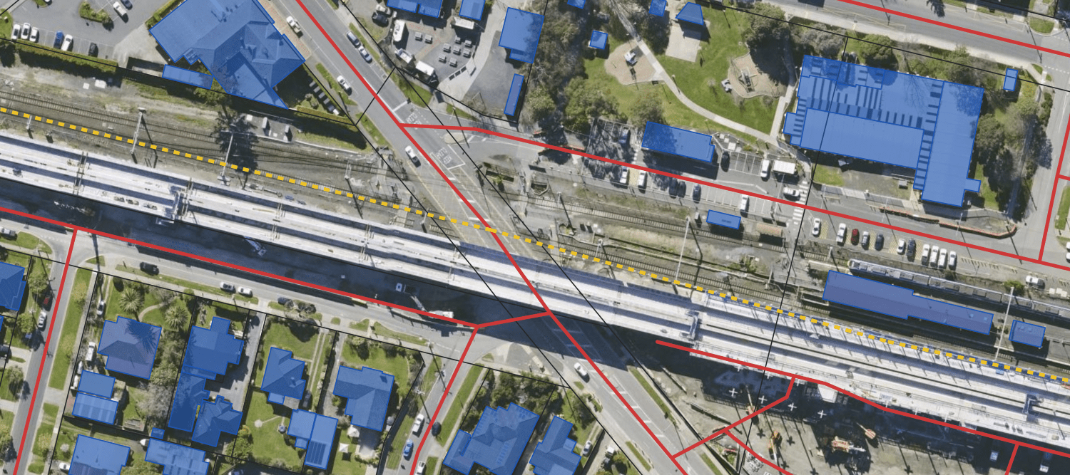
Transport

Transport planning

  • Geoscape Roads provides a digital representation of road networks for analysis and decision making.
Industry

Traffic modelling

  • Use national, authoritative roads data from Geoscape Roads for traffic flow and congestion modelling.
  • Analyse and predict the impact of new infrastructure developments or major events.
Emergencies

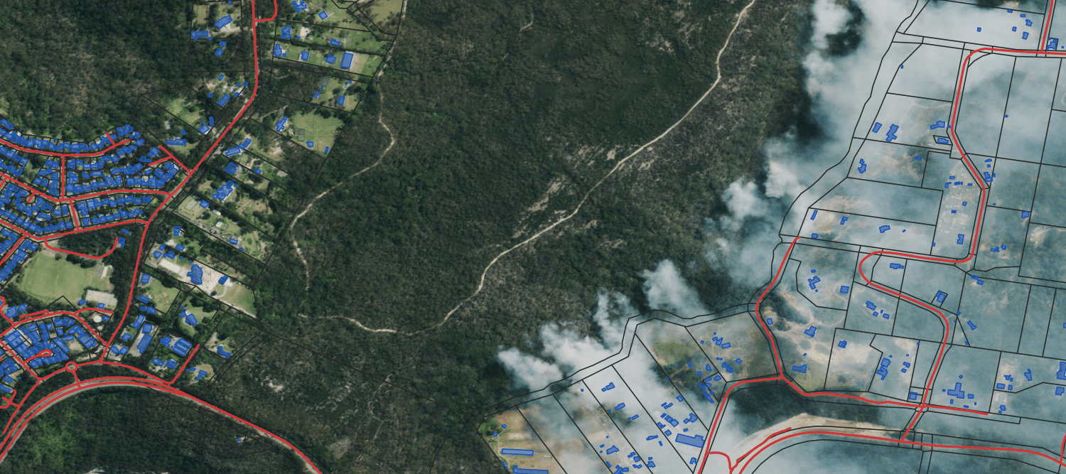
Emergency management

  • Use authoritative national information about highways, main roads, railway lines, and key locality points for effective emergency response management.
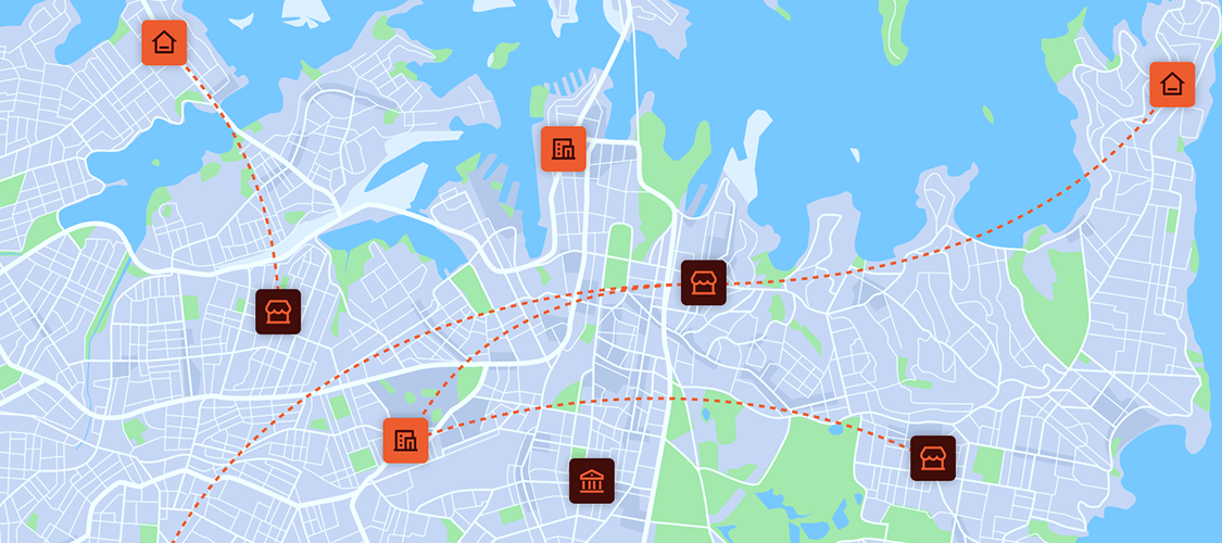
Industry

Service delivery

  • Undertake service delivery analysis using transport network data and topography information. 
  • Focus on remoteness indexing and optimal placement of service centres. 

Discover more

Customisable solutions for your industry

G-NAF

The trusted source of Australian addresses

Read More

Geoscape Built Environment

A complete digital view of Australia

Read More

Geoscape Property Intelligence

Insights on every property nationwide

Read More

Geoscape Service Locations

Connect customers to current and future service locations

Read More

Custom solutions

Our expert team can enhance and enrich Geoscape’s datasets to meet your organisation’s needs

Talk to us