Key Features
Comprehensive roads data
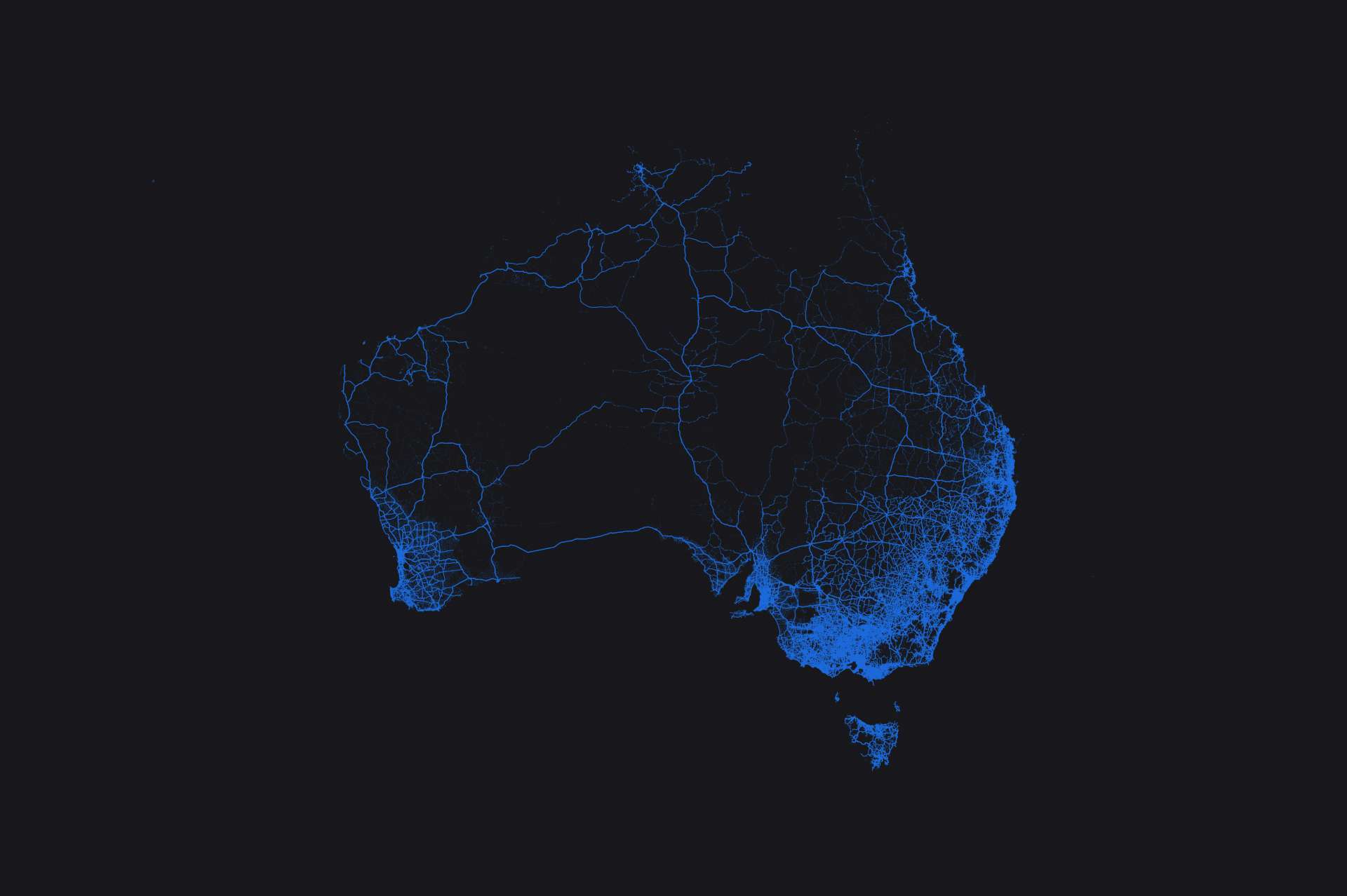
Acts as a single, consistent national dataset for the entire transportation landscape which includes public, private, and rural roads across Australia.
Unified system
Integrates road networks into a cohesive system with standardised road geometry and attributes.
Strategic foundation
Underpins Australia’s transport and logistics capabilities, providing a critical foundation for robust transport planning and operations across the nation.
G-NAF integration
Seamlessly integrates with the Geocoded National Address File (G-NAF), enhancing the accuracy and usability of transport data for precise location-based decisions.
Using Geoscape Roads
Transport planning
Enhance transport analytics and cross-border route planning with Geoscape Roads as a digital base for analysis and decision-making.
Traffic modelling
Model traffic flow and congestion using Geoscape Roads’ data. Analyse and predict the impact of new developments or major events.
Emergency management
Use national data on roads, coastlines, drainage, railways, and key locations for effective emergency response planning and management.
Service delivery
Analyse service delivery, including remoteness indexing and service centre placement, using transport network and topography data.
Fuel Tax calculator
Claim Fuel Tax Credits for ‘off-road’ operations. Use road data to distinguish between private and public roads and calculate refunds.
Mapping
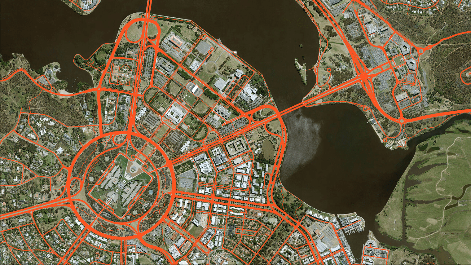
Visualise Australia’s roads using Geoscape Roads’ geometry, name labels, route numbers, and consistent classifications.
Impact Stories
Real world success stories of this product


