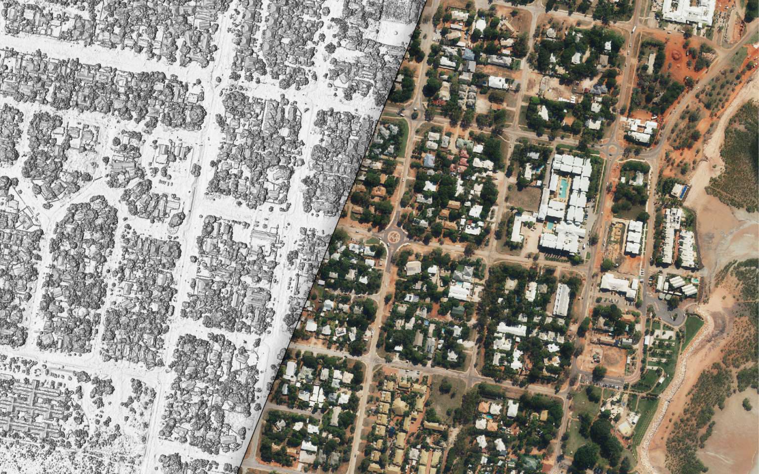
The journey to global net-zero carbon emissions requires structured and reliable data. Properly sourced and analysed data is pivotal to develop and implement effective climate mitigation strategies. As the adage goes: ‘you can’t improve what you don’t measure’. Geoscape Australia is enhancing the quality and availability of this essential data. Geoscape Australia’s Data Contribution At […]
Data products
The Power of Geoscape Planning Insights Overlays Table: What You Need to Know
Geoscape Planning Insights has 6 different types of overlays to help you identify if a cadastre parcel or address has any additional planning controls. In this blog, we share with you information about those overlays and how they can be relevant to specific industries.Â
Improved data on building outlines for Automated Valuation Modelling (AVM)
Geoscape Buildings 3.0 provides improvements in the buildings’ outline data which is useful for automated valuation modelling (AVM).
Minimising the Risk: Strategies to Reduce Tree Intrusions onto Overhead Powerlines
Overhead powerlines are an essential element of the distribution system, although they are vulnerable to damage from storms, bushfires, and nearby trees.Â
Keeping Tree Root Intrusions Out With Geoscape Trees and Surface Cover Datasets
Geoscape Trees is a national dataset representing tree cover and associated heights in Australia’s urban areas. This blog talks about how you can leverage the Geoscape Trees dataset to avoid tree root intrusion.
The evolution of Geoscape Buildings
Geoscape Buildings has evolved significantly and now represents more than 16 million buildings in incredible detail. This blog looks at our journey to Geoscape Buildings 3.0.