Geoscape Planning Insights is aggregated and enhanced planning information on the development potential of land across Australia. It provides a comprehensive understanding of the urban environment, how it changes and the specific planning information or regulations applicable to the site.

Attributes available

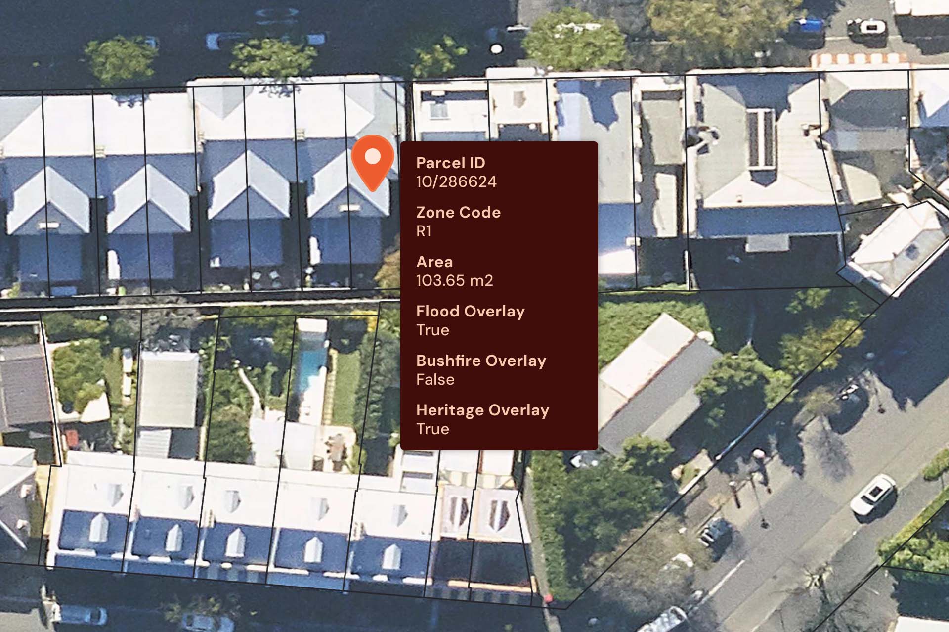
Geoscape Planning Insights offers a wide range of attributes, including:

  1. Planning zone code
  2. Planning zone description
  3. Permitted use
  4. Permitted use with control
  5. Prohibited use
  6. Floor space ratio
  7. Building height limit
  8. Overlay information about the flood, bushfire, infrastructure, environment, heritage, and/or industry planning controls within the cadastral parcel.


The Planning Insights data can be filtered, queried and visualised, saving time and money while adding value to your organisation by assisting your planning decision-making process with trusted and vital planning insights. 


Download Geoscape Planning Insights datasheet

Download Geoscape Planning Insights product guide 

Get in touch with us

Benefits of Geoscape Planning Insights

– Analyse planning information at an aggregated level to understand the urban environment and how it changes. 

– Understand the specific planning regulations applicable to a site to help make informed decisions. 

– Access a national data solution, removing the need for acquiring and aggregating multiple, disparate sources. 

– Accurate linkages to addresses and land parcels to enable customer workflows. 

– Regular updates provide insight into how the urban environment is changing over time. ​ 


How can you use Geoscape Planning Insights?

Government

-Model future change in the urban environment to inform policy on population change, infrastructure needs, energy use and service delivery.  

-Use planning information to model how land use can be optimised to its full potential and estimate the population it can accommodate. 

PropTech and Real Estate

-Identify development opportunities at scale. 

-Assess the potential of a land parcel and provide key inputs into automated valuation models (AVMs). 

-Understand the changes in planning since previous sales. 

-Enrich your property database and segment sales by the planning characteristics of the land parcel. 

Architecture, Engineering and Construction

-Identify candidate land for development projects by using detailed land zoning information and lists of permitted and prohibited uses. 

-Understand limitations at the development site including building height restrictions and floor space ratios. 

-Be aware of site risks or sensitivities by having the details of any bushfires, floods, infrastructure, heritage, or industry overlays that intersect with the land parcel of the site development. 

Telecommunications

-Identify optimal locations for asset network expansion based on projected infrastructure and energy usage needs (based on current and future changes to land parcel planning zones). 

-Model proposed changes to the network infrastructure in the context of the existing planning controls at a local or national scale. 

-Be aware of any risks or sensitivities to the existing or proposed asset by having the details of any bushfires, floods, infrastructure, heritage or industry overlays that intersect with the asset’s land parcel location. 

Banking, Finance and Insurance

-Understand the changes in the risk and value of a property by monitoring how the planning zone of the parcel changes through the quarterly releases.  

-Identifying which properties have the potential for sub-division or renovations or other value-enhancing developments by understanding permitted uses and restrictions at a land parcel. 

-Ability to identify changes to planning efficiently at scale across a portfolio of customers to model property intelligence for impacts to insurance and lending. 

-Use bushfires, floods, infrastructure, heritage, or industry overlays to inform rebuild costs of properties within your portfolio. 

Related Resources

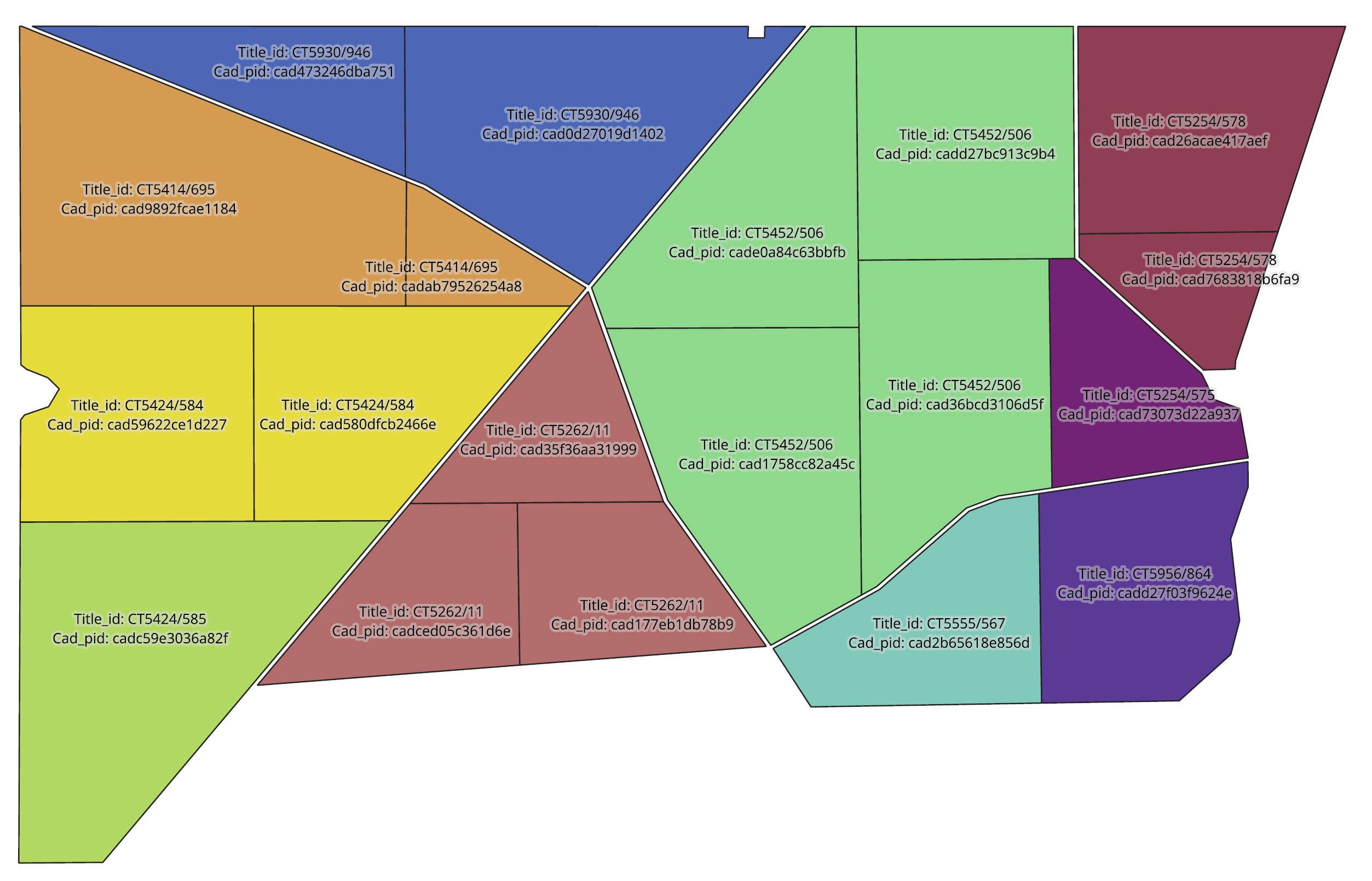
The image depicts Geoscape Cadastre information as highlighted by different colours.

Geoscape Land Parcels


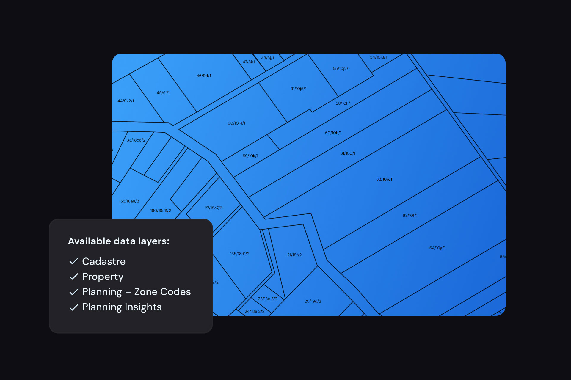
Geoscape Land Parcels paints a complete picture of property in Australia and includes cadastre, property, planning and planning insights data. Choose a national dataset or select a smaller area of interest.

Planning zone codes

Geoscape Planning


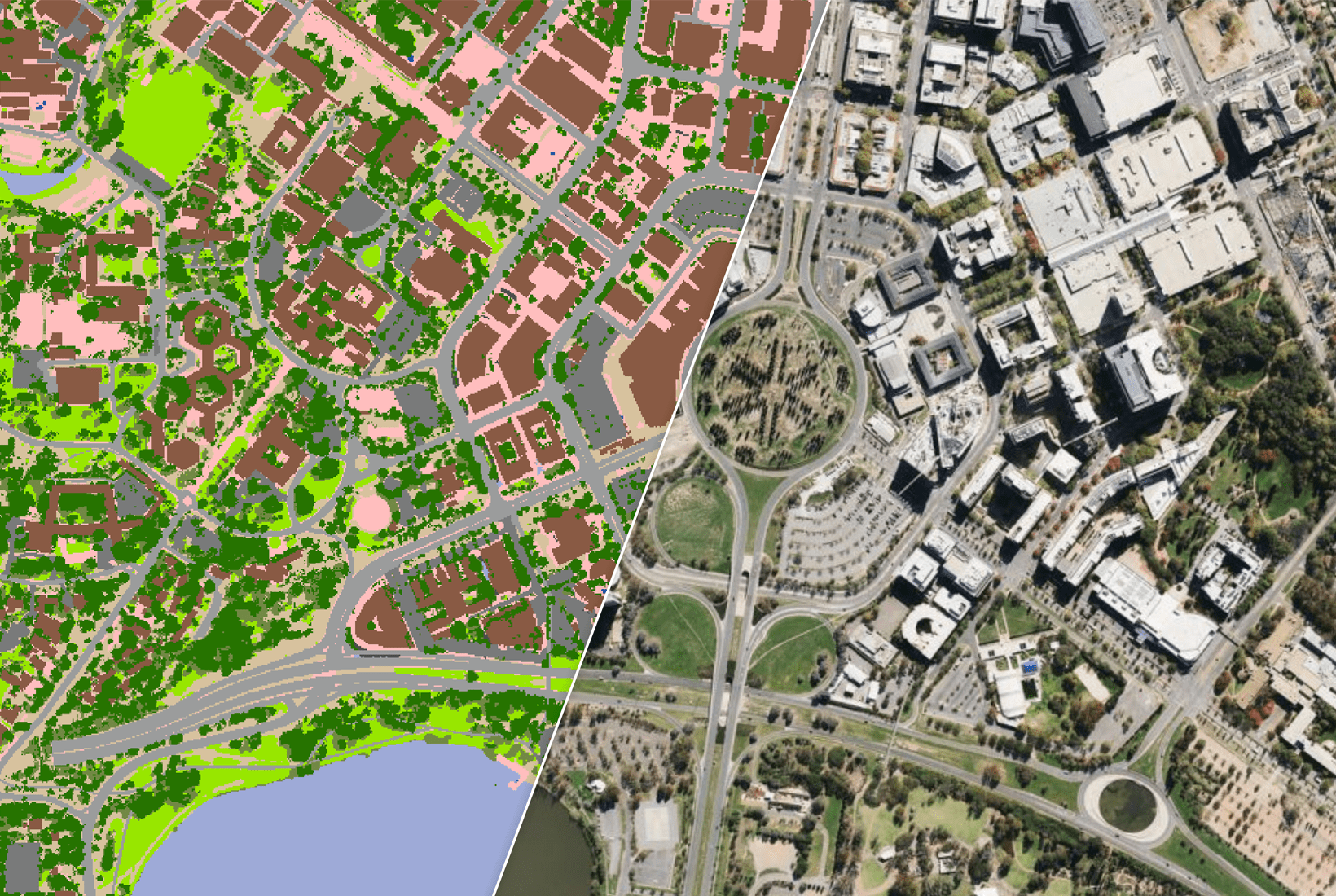
Geoscape Planning provides information about the type of development that may occur at a location. It details the planning zone codes that apply across Australia and connects to Geoscape Cadastre to create a spatial representation of planning information at a parcel level.

The image depicts Geoscape Planning Insights data.

Planning Insights Overlay table


Did you know Geoscape Planning Insights has 5 different data tables? Read our blog to find out what sort of information you can find within the Overlays table.  


Images on this page created using aerial imagery © Aerometrex Ltd 2023, and Geoscape Planning Insights, Geoscape Land Parcel, Geoscape Cadastre © Geoscape Australia 2023 Copyright and Disclaimer Notice.