Key Features

Detailed insights
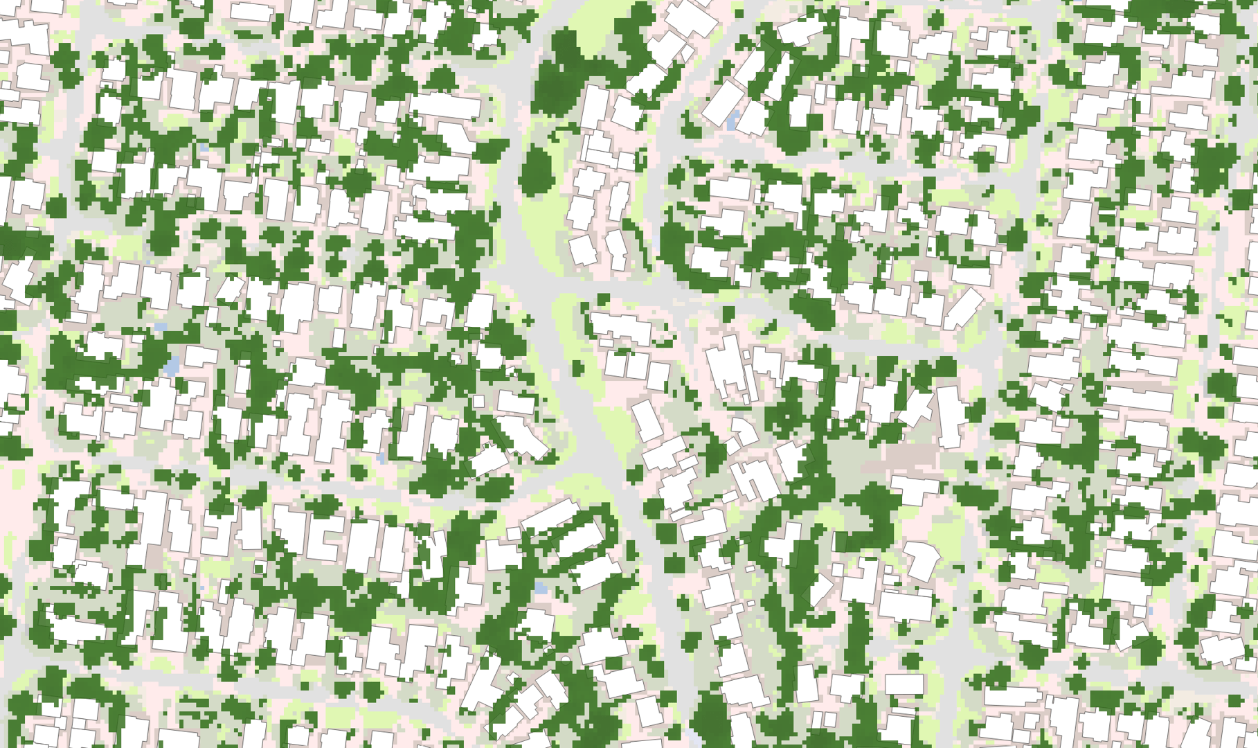
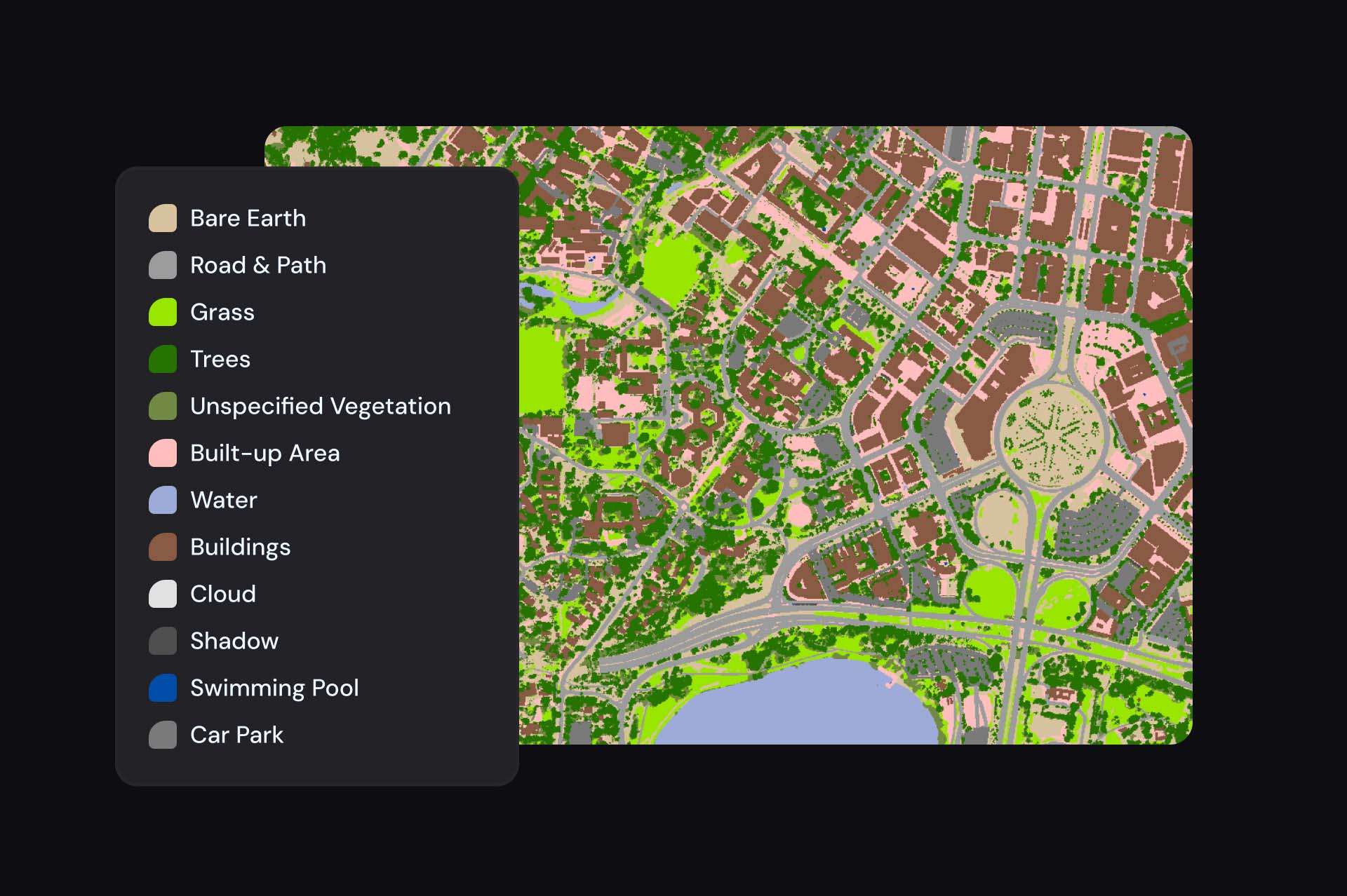
Provides comprehensive information on natural and man-made surface features, enhancing accuracy in mapping and analysis.

Analytics ready
Proven data that’s fit for use across nationally significant applications.

Enhanced precision
Provides high-resolution data detailing surface cover and other characteristics, enabling precise property-level insights. This feature supports urban planners, environmental scientists, and resource managers in making informed decisions.
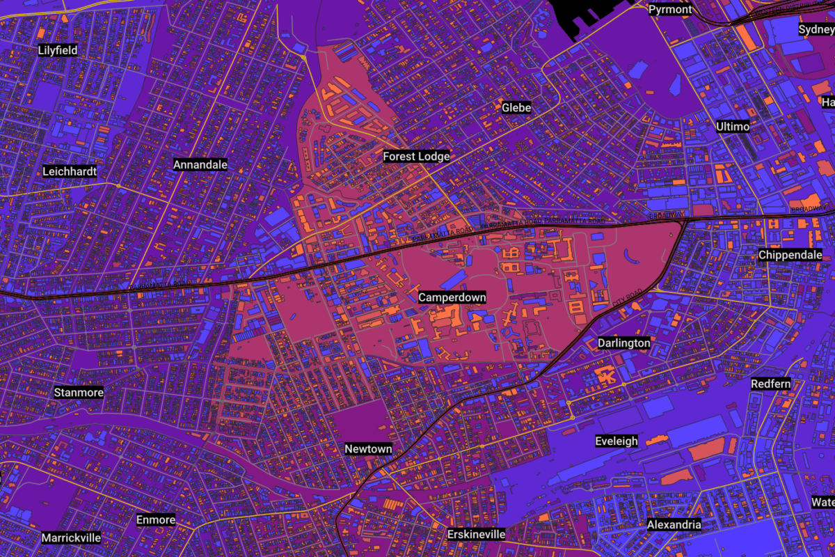
Using Geoscape Surface Features
Urban planning
Plan greener cities and address the urban heat island effect using Geoscape datasets. Evaluate development potential with tree location, height, and age data.
Modelling runoff
Use Surface Cover data to represent various surfaces and assess runoff potential for flood modelling and urban planning.
Insurance risk
Evaluate tree proximity and height to buildings for accurate risk assessment.
Impact Stories
Real world success stories of this product