Developed with GeoX Analytics
What is it?
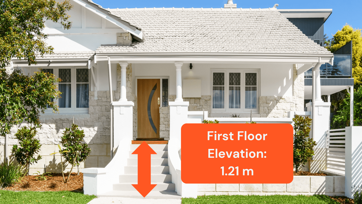
First Floor Elevation (FFE) measures the height of a building’s lowest habitable floor above ground. Derived from high-resolution street-level imagery, it includes data on garage and basement presence in urban Australia.
FFE links to both Geoscape Buildings and the Geoscape Geocoded National Address File (G-NAF)
Why is it important?
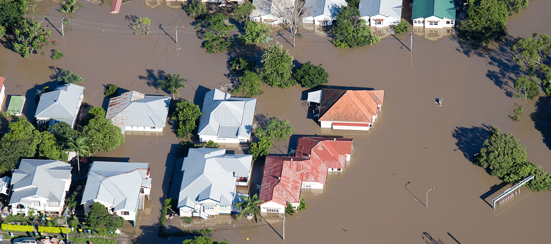
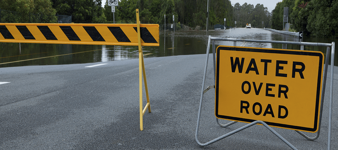
Flooding is frequent and costly in Australia.
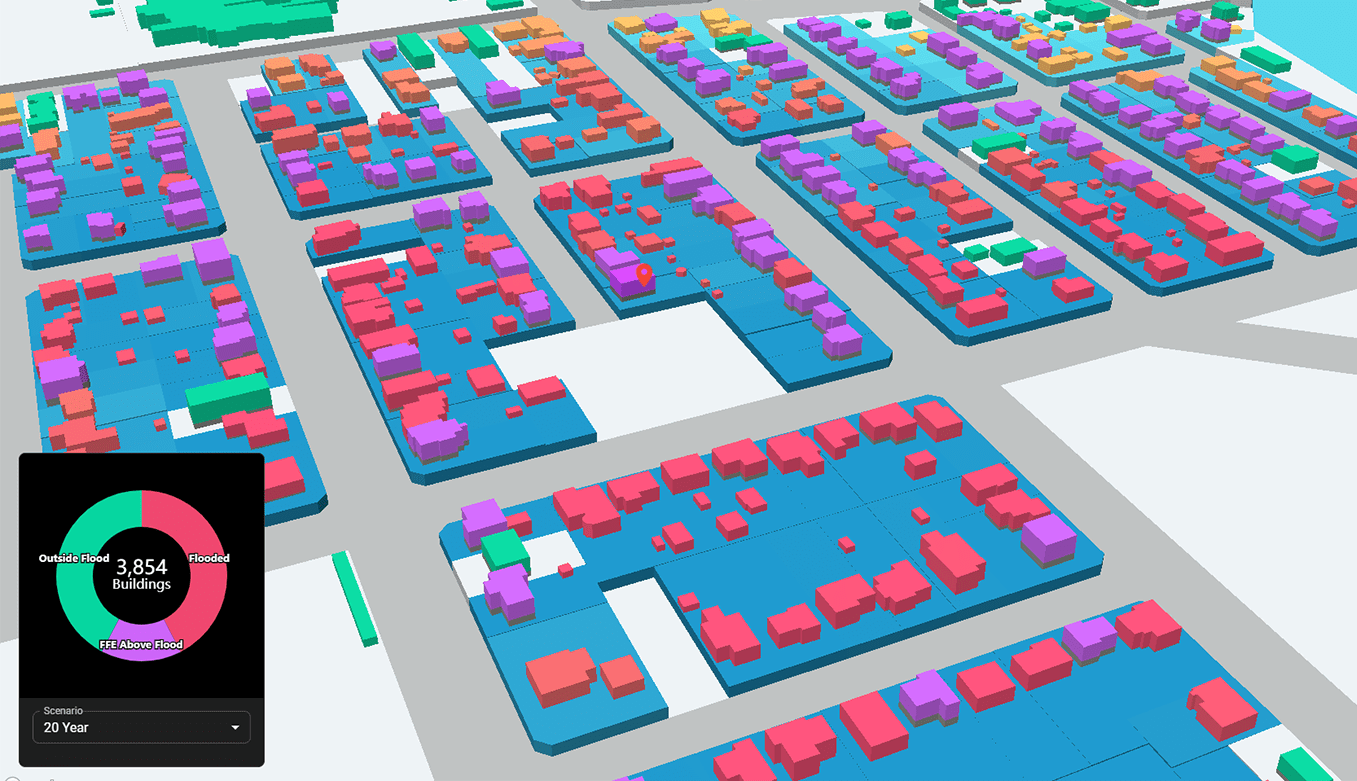
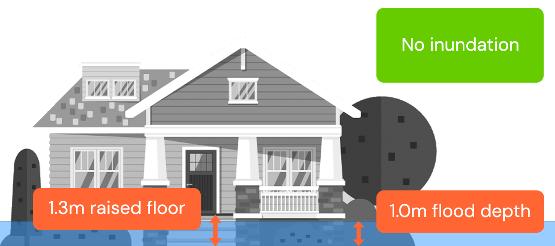
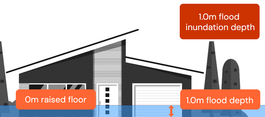
First floor elevation is a significant data gap in the management of flood risk. FFE ‘de-averages’ conventional flood models by providing building-level data, rather than relying on area-wide assumptions.
This reveals which properties are truly most at risk, enabling better disaster response, more accurate policy pricing, and smarter lending decisions.
What First Floor Elevation enables
Insurance Services
Gain a clearer understanding of risk and exposure, enabling more accurate policy pricing, deeper insight into a portfolio’s flood risk, and improved access to insurance for at-risk properties.

Financial Institutions
Evaluate property elevations in floodplains to understand risk across a book of properties, supporting better lending decisions and improving access to home loans in flood-prone areas.
Government
Strengthen emergency planning and response by pinpointing high-risk areas, improving impact assessments, supporting mitigation efforts, and enabling more resilient urban planning in flood scenarios.
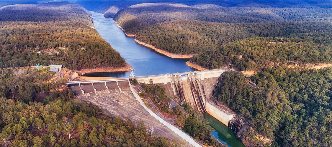
Water Modelling and Engineering
Model dam failures, burst pipes and water-sensitive urban design to gauge flood risk, refine drainage and plan resilient infrastructure and housing.