• Skip to primary navigation
  • Skip to main content
Geoscape Logo

Geoscape Australia

  • Products
    • Data
      • Addresses
      • Administrative Boundaries
      • Buildings
      • G-NAF
      • Land Parcels
      • Postcode Boundaries
      • Solar
      • Surface Features
      • Transport
    • Address Verification
  • Data on demand
  • Developers
  • Partners
  • Support
  • Search
  • Sign In
    • Data Portal Sign In
    • Developer Portal Sign In

Sample it.

Explore the data first. We have sample data available for download so you can explore the possibilities.

Geoscape logo

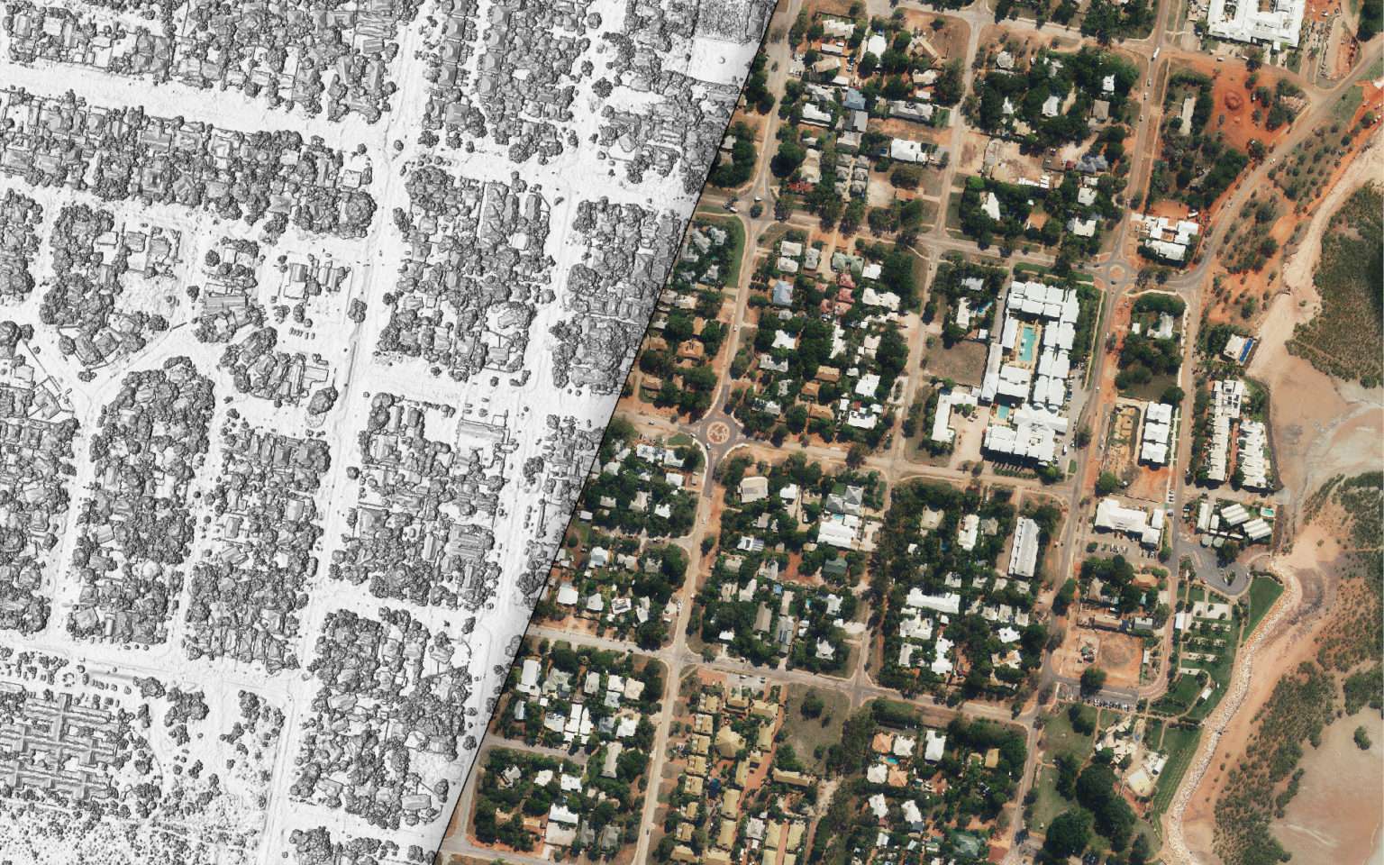
This is a visualisation of Geoscape sample data. Here you can explore what the spatial data looks like on a map. Like the download available below, the data is supplied in a variety of formats ready for spatial software and tools.

  • Select which data to view using the check boxes in the left menu.
  • Pan around the map with a left click and drag.
  • Rotate and change the view angle with right click and drag.
  • Zoom in and out with a scroll wheel.

You may use this map as trial data to help you evaluate our products in accordance with our Geoscape Terms of Use.

What’s in the sample download?

The Geoscape sample data covers about 5.7 square kilometres and includes the suburb of Chatswood NSW and surrounding areas. The sample data includes:

  • Buildings includes attributes such as planning zone, ground elevation, roof height, roof complexity, and indicators for the presence of solar panels and pools.
  • Addresses includes the full address as an attribute, and location as coordinates.
  • Cadastre includes the legal property and land parcel boundaries.
  • Roads includes all road networks and speed limits where available.
  • Surface Cover & Trees that classifies the surface materials of the earth, and shows heights for all tree classifications within the surface cover layer.

The included quick start guide describes how to visualise and review the data, using the open source tool QGIS. The guide also includes some basic examples to explore the data, and assumes no previous experience with QGIS or Geospatial Tools.

The sample is delivered in Esri Shapefile, Mapinfo TAB, Geodatabase and GeoTIFF formats.

Receive your sample

Complete this form to receive your Geoscape data sample.

Please check your email inbox. Your data sample is on its way!

By providing your details, you agree to receive Geoscape email communications. We’ll use your information in accordance with our Privacy Policy, which details how you can opt-out at any time.

Get Geoscape
  • Data on Demand
  • Developers
Company
  • About Us
  • People and Culture
  • Case Studies
  • E-Books
  • News
  • Geoscape Data Evaluation
    Program for Government
Resources
  • Support
  • Contact
  • Technical Documentation
  • System Status
The Geoscape logo
© PSMA Australia Limited trading as Geoscape Australia. ABN 23 089 912 710
Data Copyright & Disclaimer
Terms of Use
Privacy Policy

  • Data on Demand
  • Developers