Many governments rely on online transactions to deliver support and services efficiently.
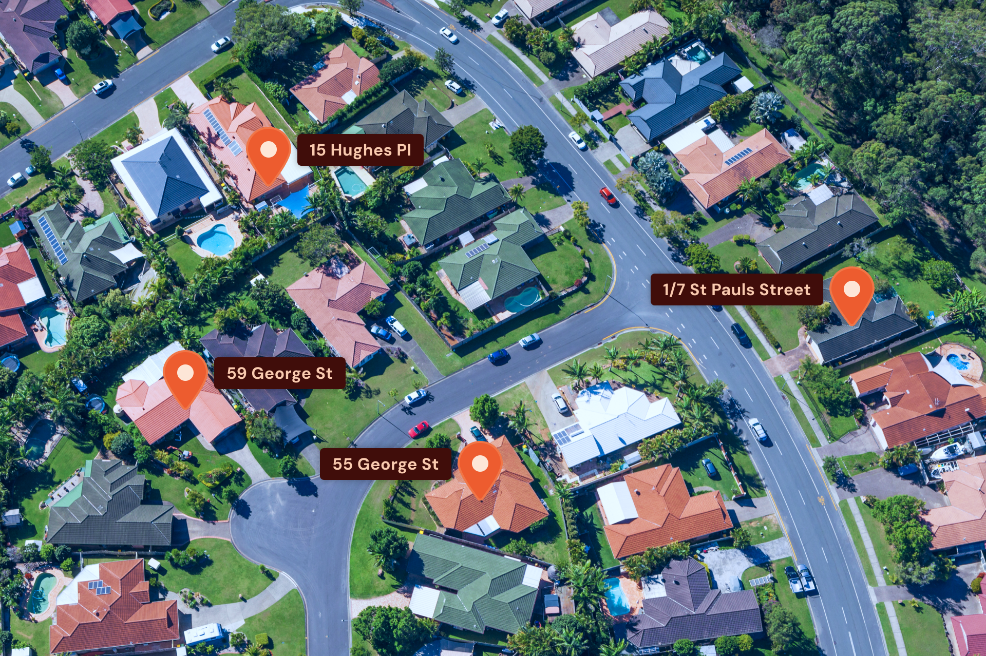
With millions of government forms completed online daily for services ranging from birth registrations to fishing licence applications, the public expects a swift and smooth process. Accurate address validation is crucial for facilitating this seamless interaction.
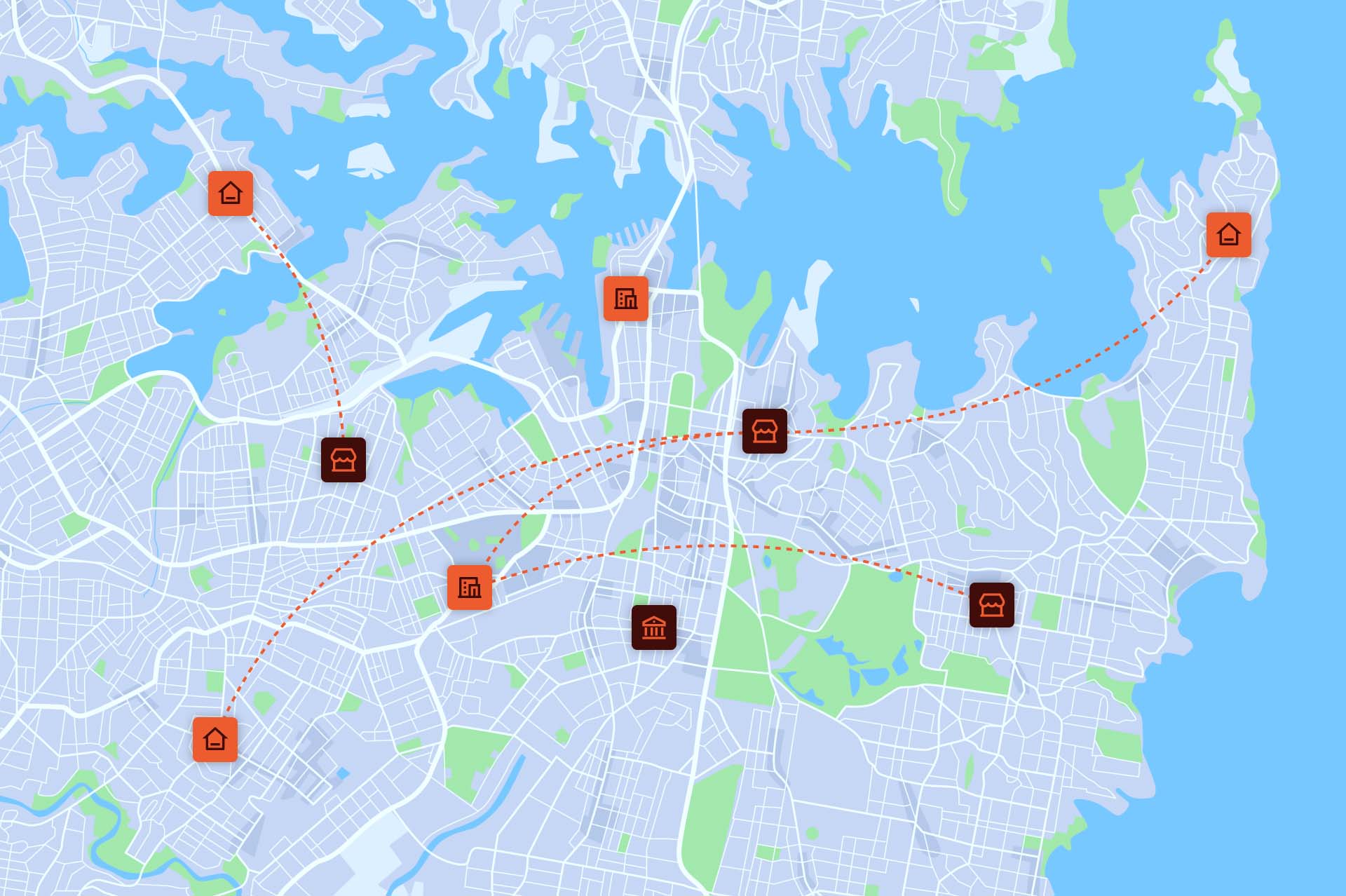
NSW Government agencies and departments depend on DCS Spatial Services, a unit within the NSW Department of Customer Service, for comprehensive address management. DCS Spatial Services utilises Geoscape APIs to provide fast, collaborative, and efficient digital solutions across the state.
Key Highlights:
- Over a million API calls per week enable precise customer address verification with data updated daily.
- Geoscape APIs offer customisable options tailored to various government applications.
- Standardised predictive address validation is utilised across NSW Government online forms.
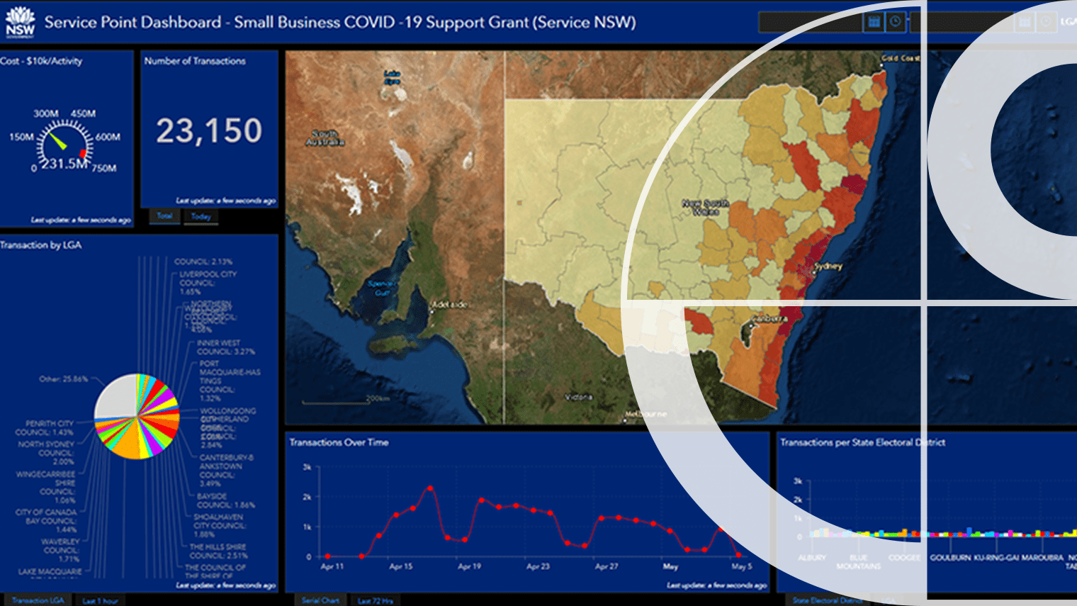
- During crises, such as bushfires and pandemics, accurate address reporting informs critical policy decisions.
Government needs consistent national address data to ensure efficient service delivery and proper allocation of services and grants. The absence of such data can hinder emergency responses and regular government operations.
The solution, NSW Point, developed by DCS Spatial Services, uses the Geoscape Predictive API and Addresses API for reliable address entry and verification. This tool has been instrumental in various grants and programmes, enhancing the efficiency and accuracy of government web applications, reducing reliance on technical geospatial skills within departments, and ensuring privacy through deidentification measures.
Overall, NSW Point, supported by Geoscape APIs, has streamlined service delivery, reduced operational costs, and improved decision-making processes within the NSW Government.


