Hero image ACT GNAF case study
icon  Government

Geoscape G-NAF’s Critical Address Data for Emergency Services

For more than 15 years, Geoscape G-NAF has played a pivotal role in emergency response across Australia.

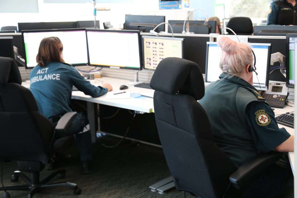
Geoscape G-NAF, or the Geocoded National Address File, has been critical in emergency response for more than 15 years, ensuring that when you call triple-zero, help finds you quickly.

Steve Forbes from the ACT Emergency Services Agency (ESA) praises Geoscape G-NAF for its accuracy, saying it’s crucial on the worst days of people’s lives. Created and maintained by Geoscape Australia, this dataset helps crews pinpoint precise locations during emergencies, enhancing the effectiveness of services like ambulances.

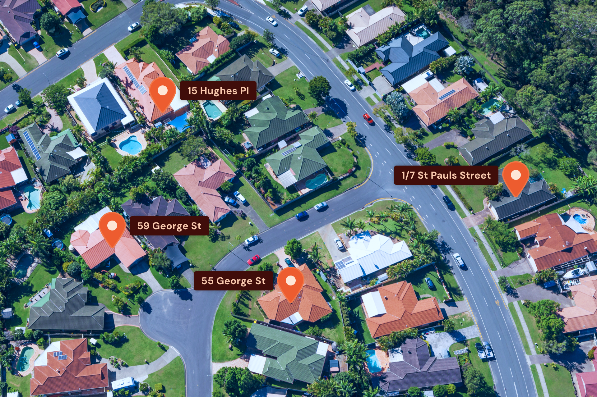
The ACT ESA uses Geoscape G-NAF alongside local data, like fire alarms and points of interest, to form a comprehensive address picture. This is vital, especially around Canberra and nearby NSW towns, as the dataset is national, spanning beyond ACT borders to assist with regional emergency calls.

image
G-NAF address data helps ambulance crews navigate to an address in an emergency.

Steve highlights the ongoing improvements in Geoscape G-NAF, thanks to advances in technology and feedback from various users.

These refinements have increased the reliability of address data, especially in new suburbs, allowing quicker emergency responses. The dataset’s accuracy and availability under open data terms1 have made it a trusted resource for developing address systems.


Custom solutions

Our expert team can enhance and enrich Geoscape’s datasets to meet your organisation’s needs

Talk to us