Overview
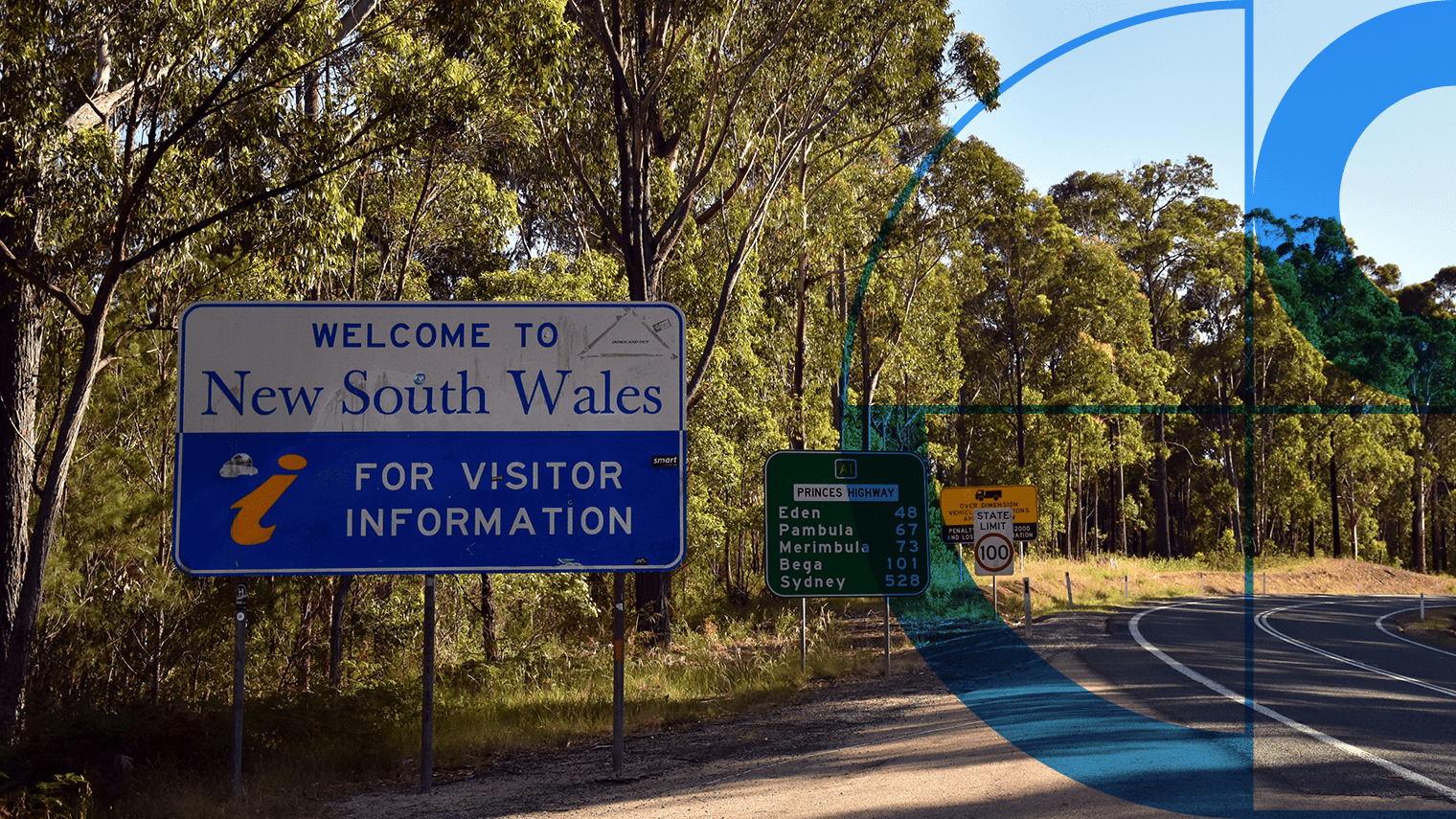
During the height of the COVID-19 pandemic in 2020 and 2021, Australia faced the urgent need to close state and territory borders to limit the virus’s spread. Governments needed to quickly develop border permit solutions to safely manage the high infection risk while facilitating family reunions and economic continuity. Multiple jurisdictions utilised address information to assess people’s anticipated movements, align with health messaging, and support contact tracing efforts.
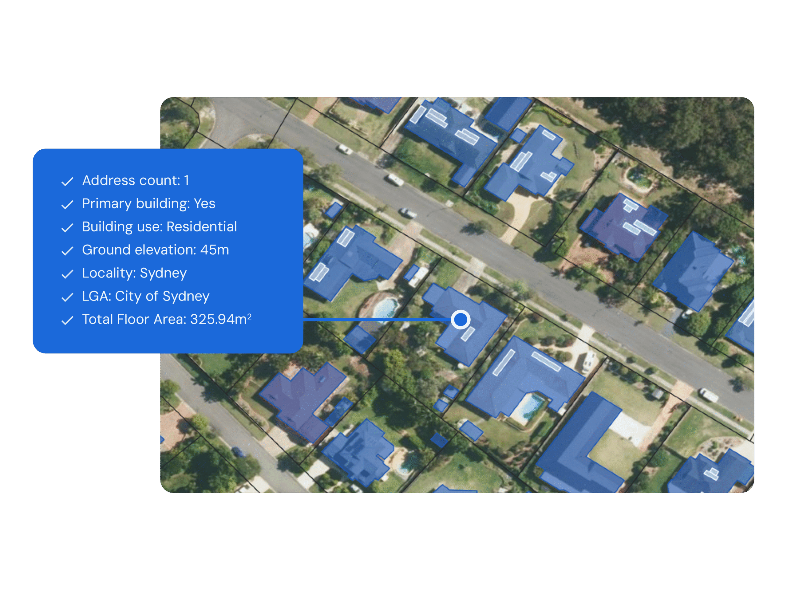
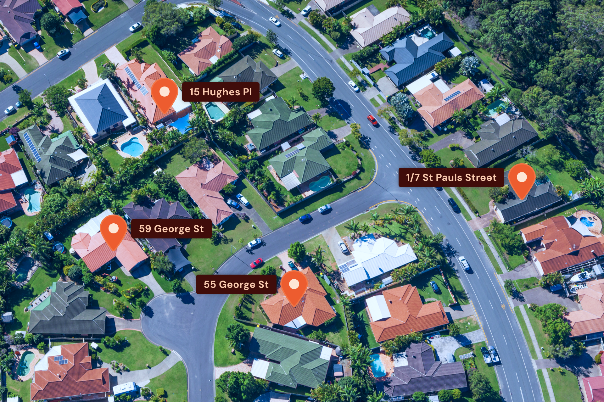
Geoscape’s Addressing APIs, specifically Predictive Address Validation, was crucial in supporting these applications.
Challenge
State and territory governments needed access to accurate, up to date location data from across all jurisdictions to verify entry for border closures. The goal was to integrate this data into online platforms easily, catering to users applying for a COVID Border Pass. Data from Geoscape G-NAF (also known as the Geocoded National Address File) wasn’t suitable because it is updated quarterly, with approximately 50,000 new addresses included every quarter.
Solution
Geoscape’s Predictive API was already being used by states like NSW for different applications before COVID-19. It provides consistent location data across Australia through an API. Despite its previous uses, the API was crucial during the COVID-19 pandemic. It helped each state quickly set up their border pass systems, providing an immediate and effective solution for managing travellers.
Results
Geoscape’s up-to-date address data enabled an efficient, citizen-focused service, facilitating easy application for border passes. More than 500,000 permits were issued by October 2020. Geoscape Addressing APIs including our batch address validation also supported workforce planning for businesses, ensuring staff compliance with local movement restrictions.


