Geoscape Australia and its solution partners have enabled improved 4G and 5G coverage across Australia by working with a telecommunications company to enhance the accuracy of their geospatial data, a crucial step in refining coverage mapping.
This project enhanced network planning and optimised radio frequency (RF) transmitter placement—a significant benefit given the high costs associated with these installations. As a result, it has bolstered Australia’s communication infrastructure, facilitating more robust and reliable connections across the country.
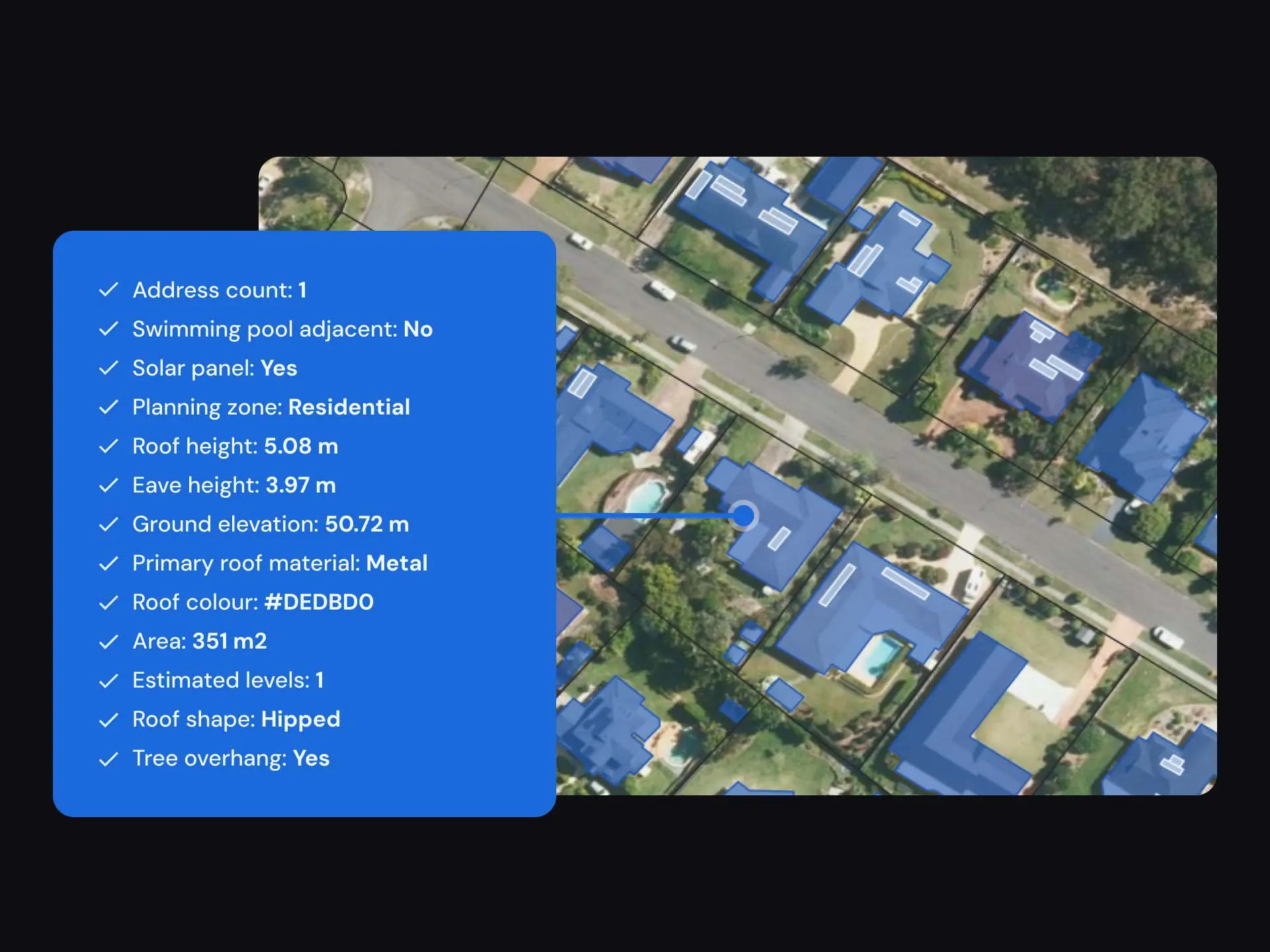
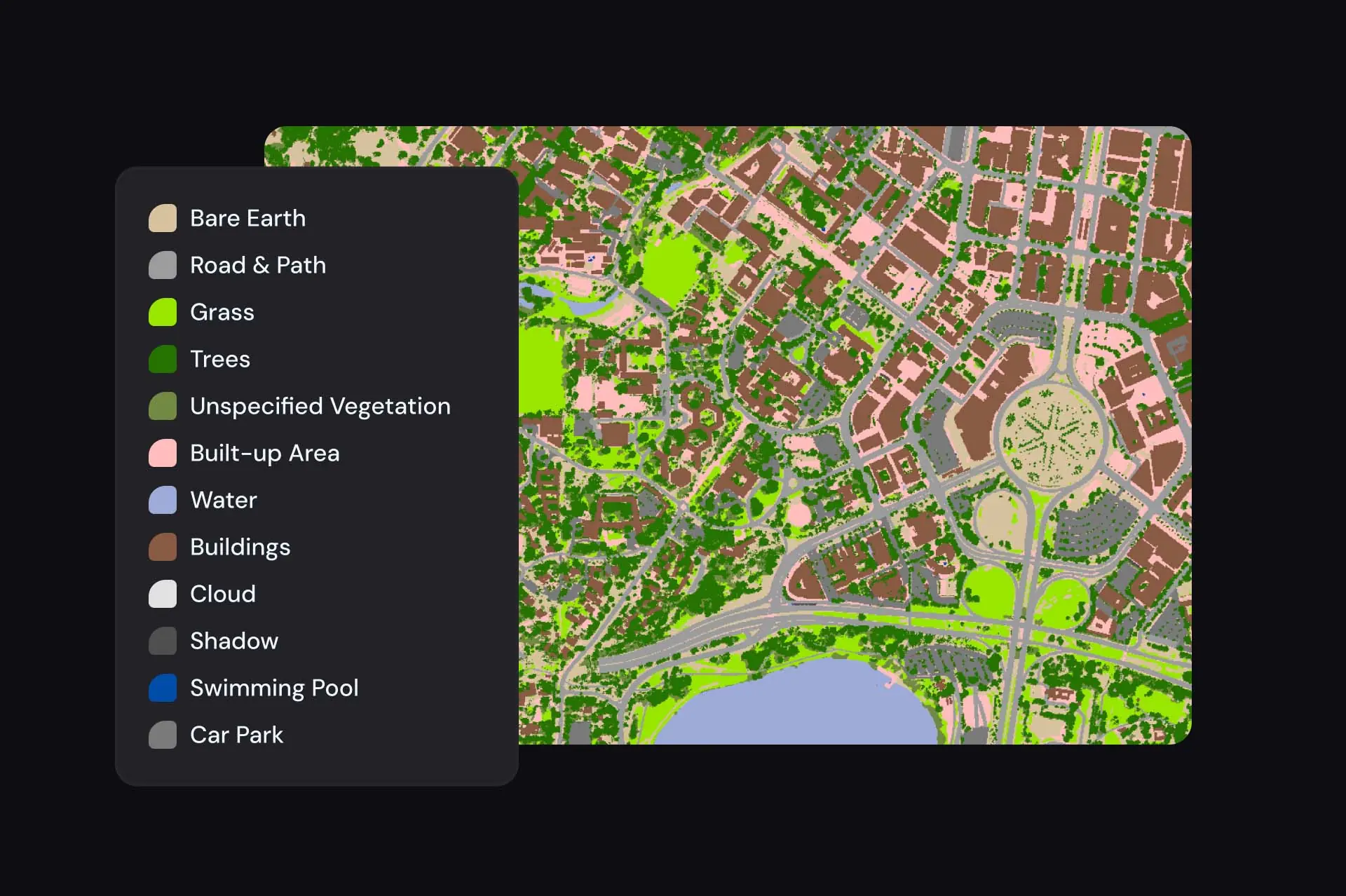
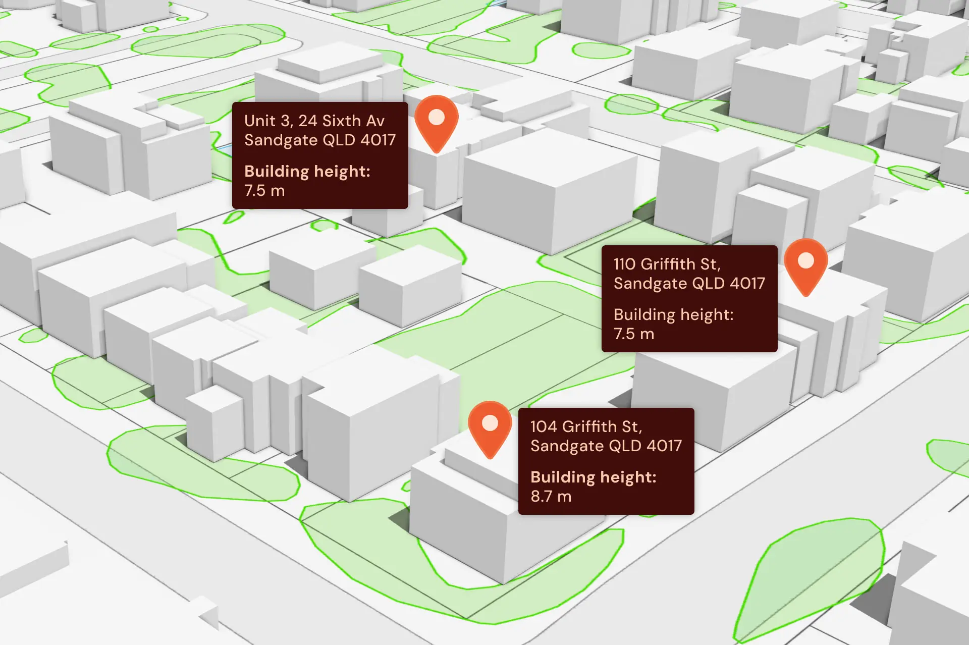
For this project, Geoscape Australia delivered an application-ready solution, providing geodata that included clutter, clutter heights, Digital Elevation Models (DEM), and 3D buildings (BuildingsHD).
The datasets were delivered in the formats, structures, and data specifications required by the telco’s application to ensure seamless integration into their workflows without the need for additional data manipulation.


