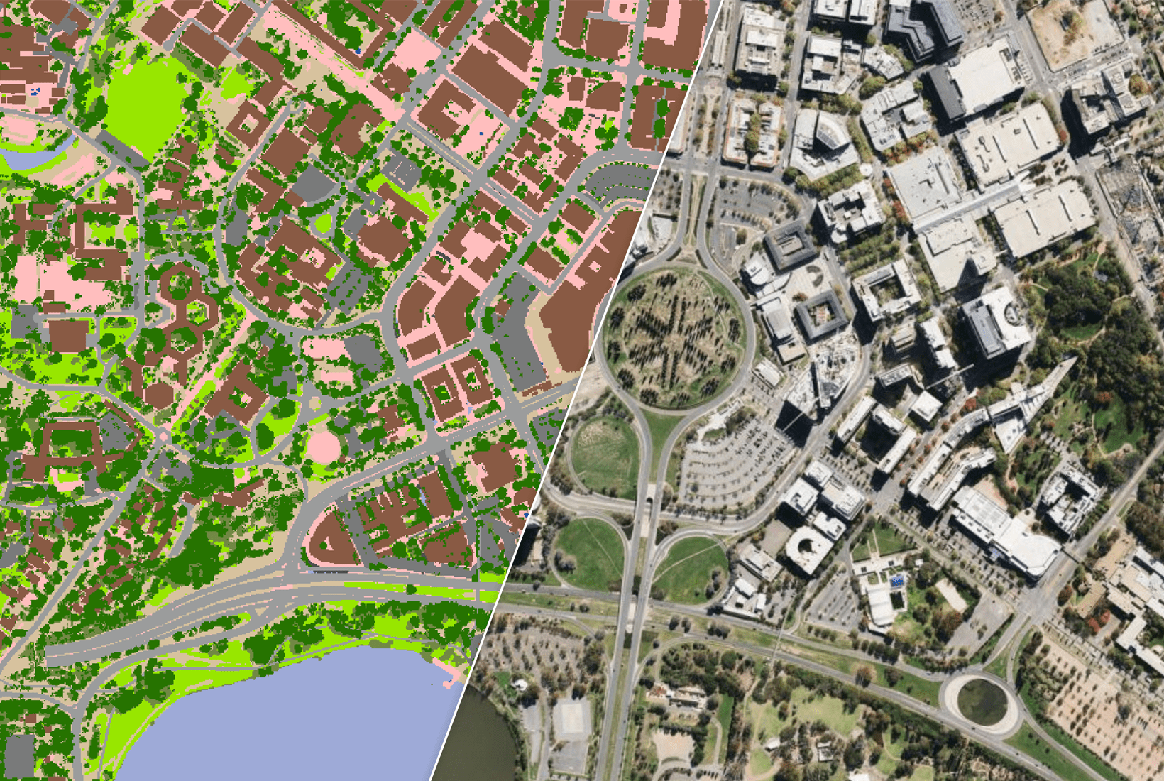
Aon leverages data from Geoscape Australia to provide detailed risk assessments to its client base.
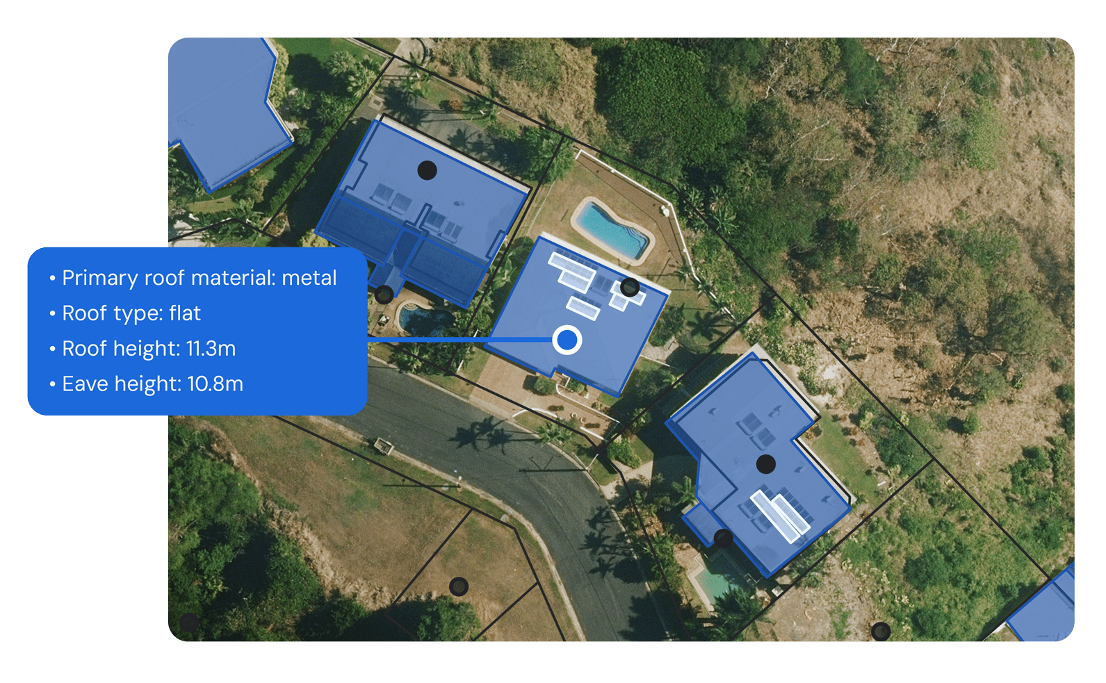
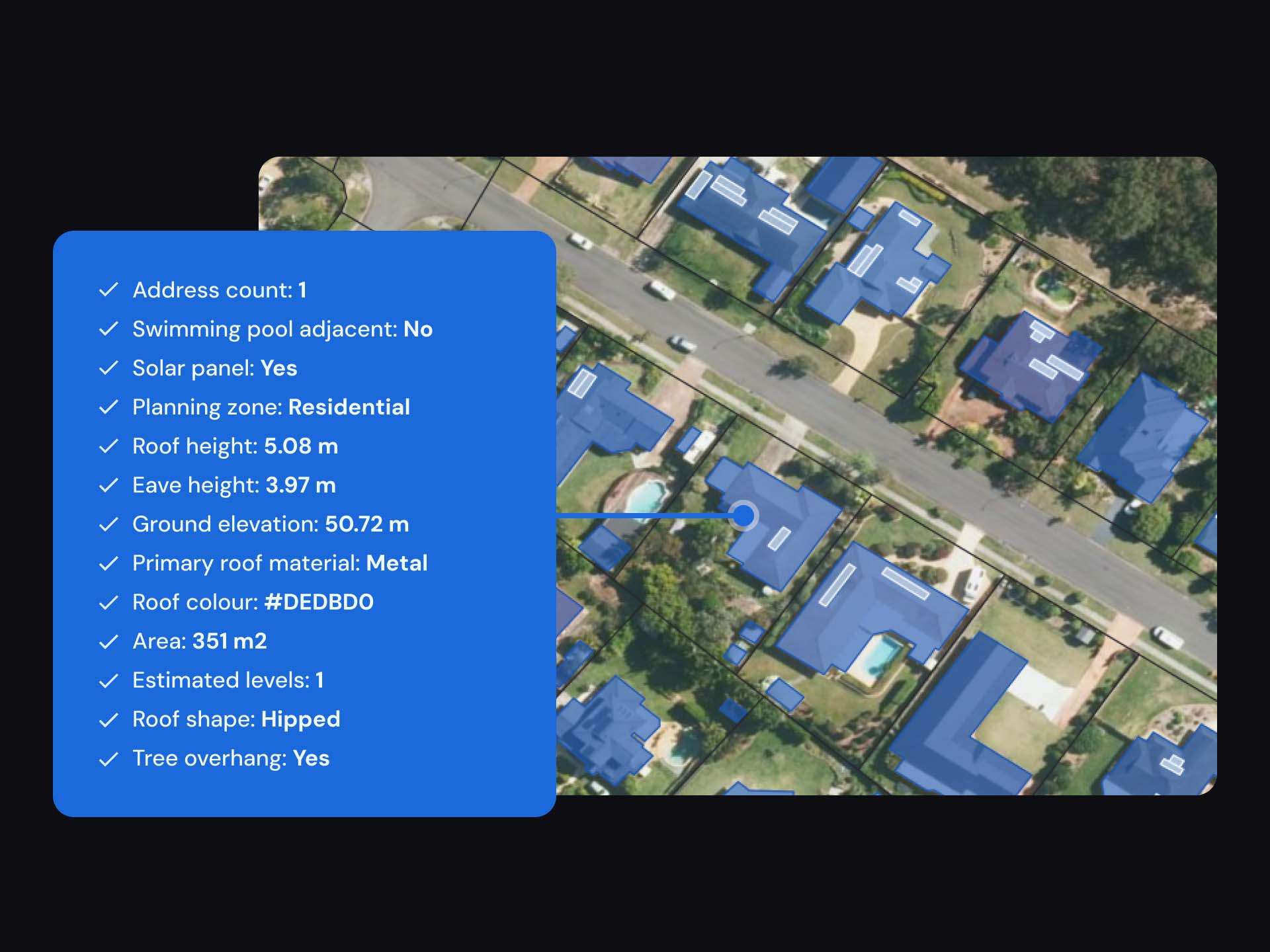
Geoscape supplies comprehensive national location and building information, covering the large majority of buildings in Australia with consistent standards and data attributes across all states and territories.
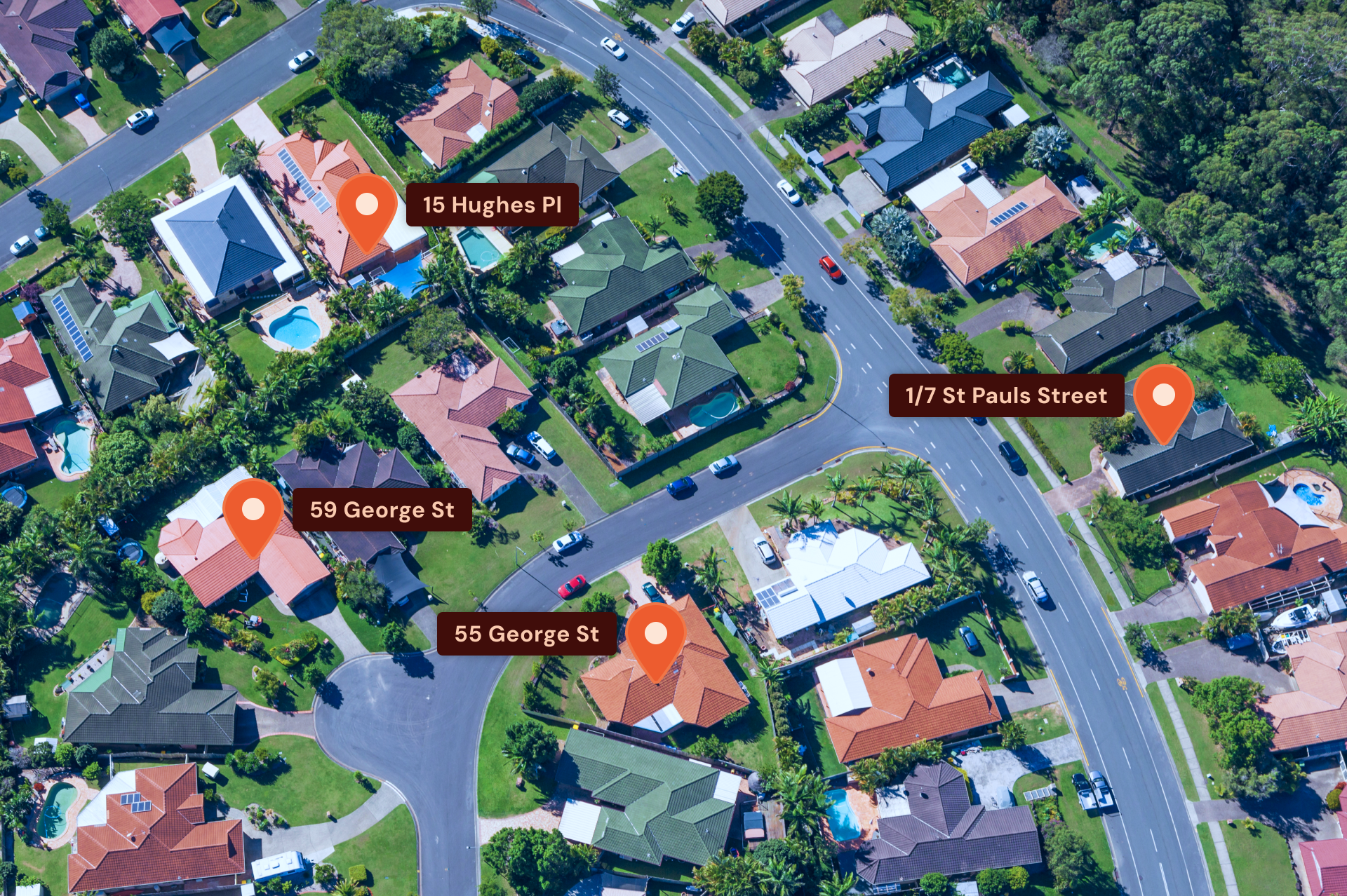
One of Aon’s solutions is the Combined Hazard Information Platform (CHIP). CHIP uses both Geoscape Buildings and G-NAF Core datasets to help better calculate peril-specific insights for every Australian building and address. CHIP covers all major natural hazards impacting Australia such as floods, bushfires, storms and hail, cyclones and earthquakes.
CHIP also includes risk insights for non-natural perils such as property-based crime and fire risk. CHIP quantifies natural hazard risk both in the present-day climate and future climate, allowing clients to quantify the projected physical impacts of climate change on their in-situ properties of interest.
