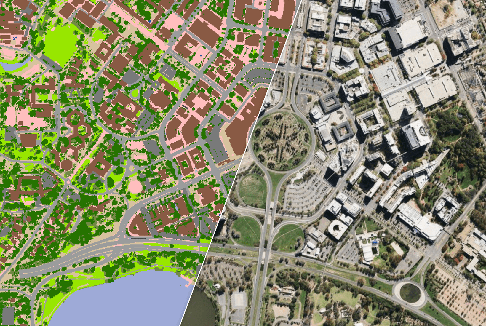
Location intelligence powers Automated Valuation Models (AVMs), which use detailed location data to estimate property values.
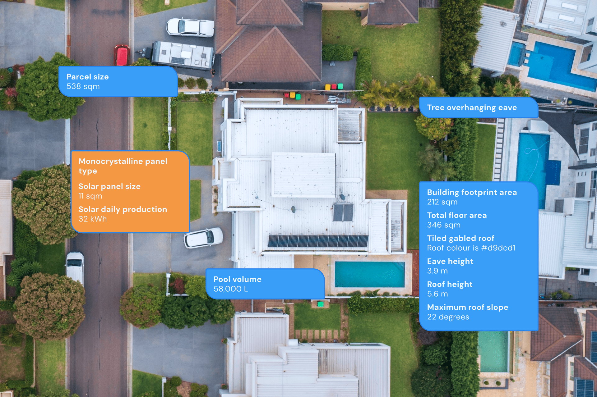
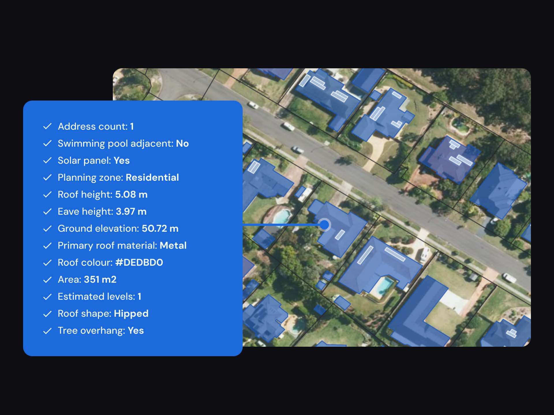
These models combine detailed location data—like the building’s age, floor space, recent upgrades, and roof condition—with market insights to give a fuller picture.
This provides quicker and more informed decision making, reducing the need for time-consuming physical property assessments.
But it’s not just about the property itself.
AVMs also consider proximity to schools, transport hubs, shops, and hospitals. Zoning changes, like a shift from low-density to medium-density housing, can have a major impact on a home’s value.
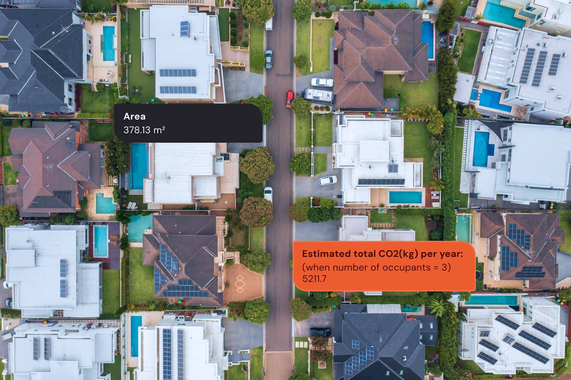
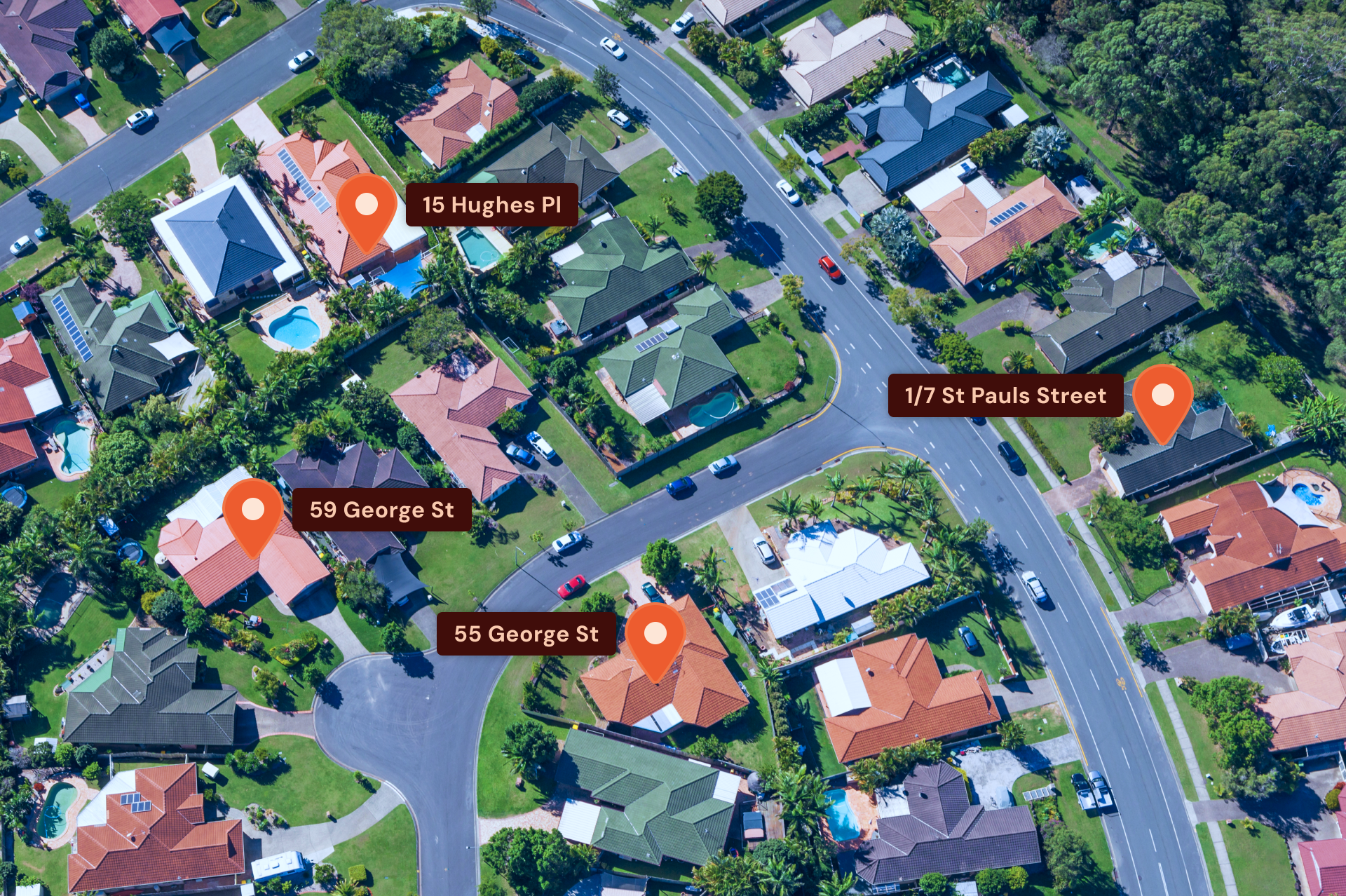
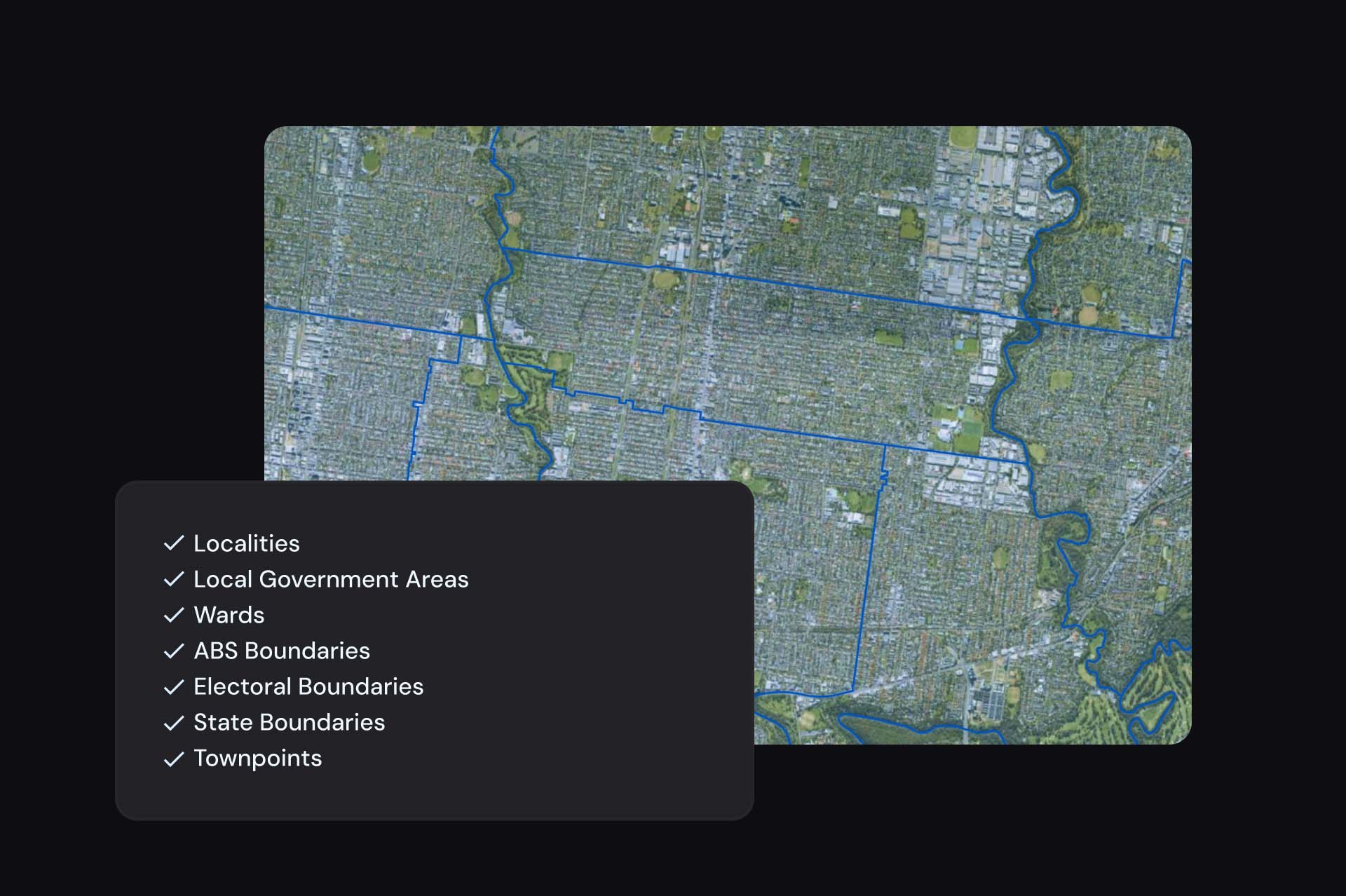
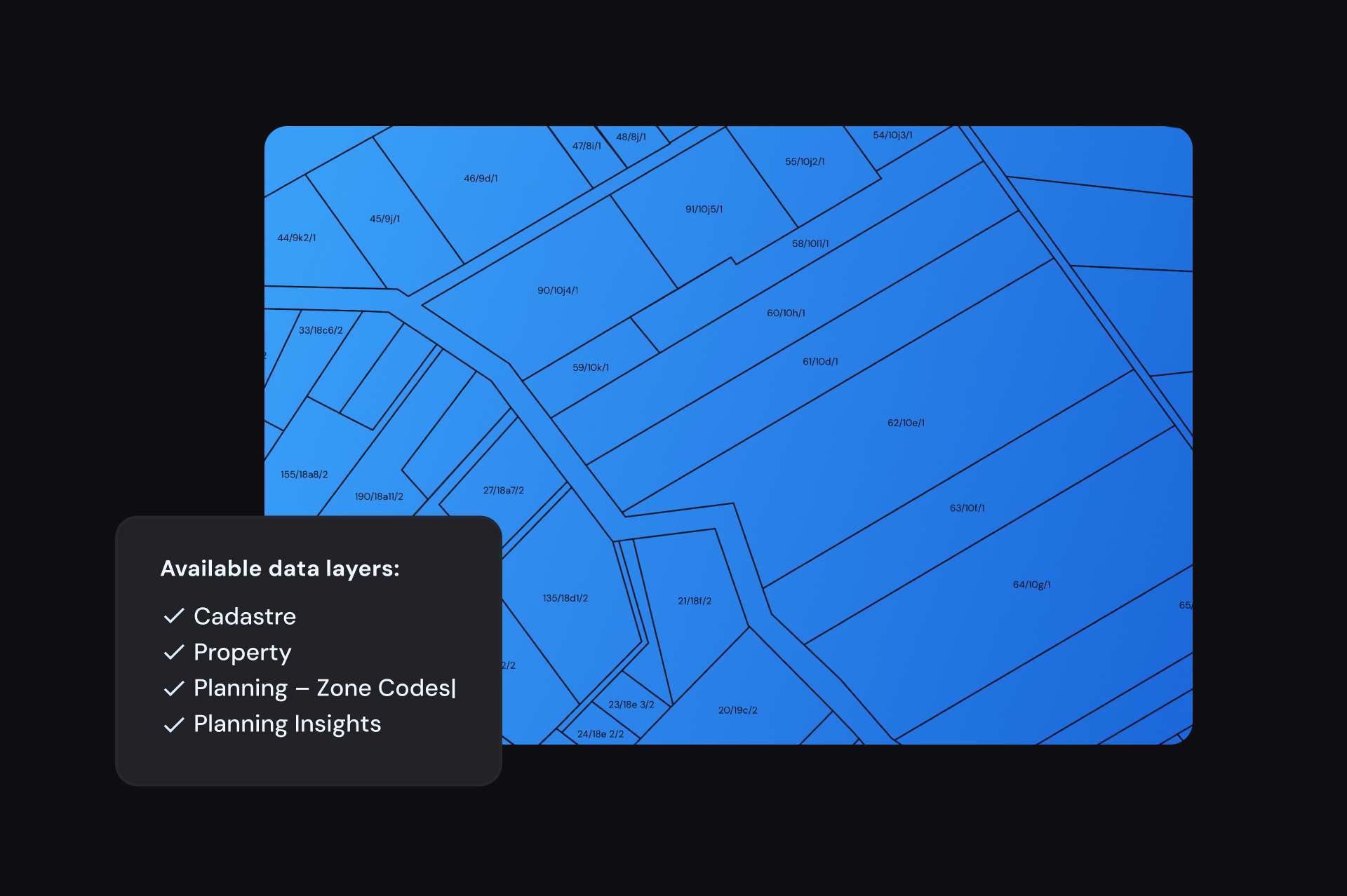
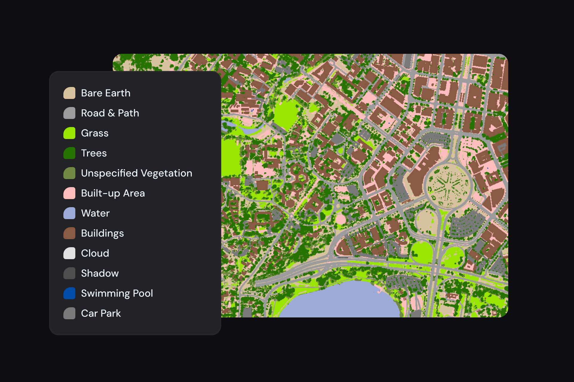
Geoscape Australia partners with several real estate companies, providing comprehensive datasets that includes buildings data, geocoded addresses, administrative boundaries, cadastre, and surface features, all of which feed into these models.
