Geoscape Land Parcels

Row Image

Cadastre 

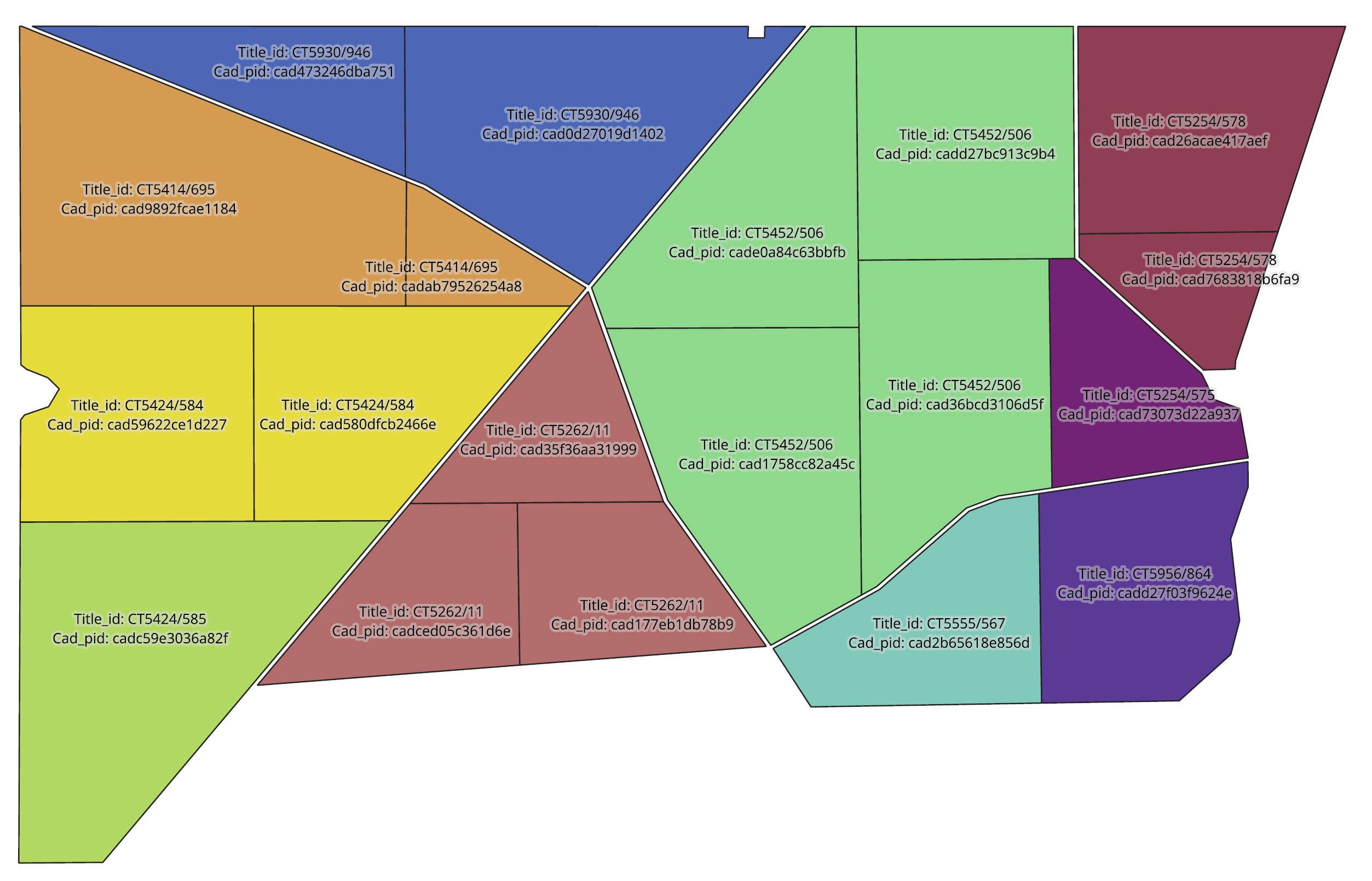
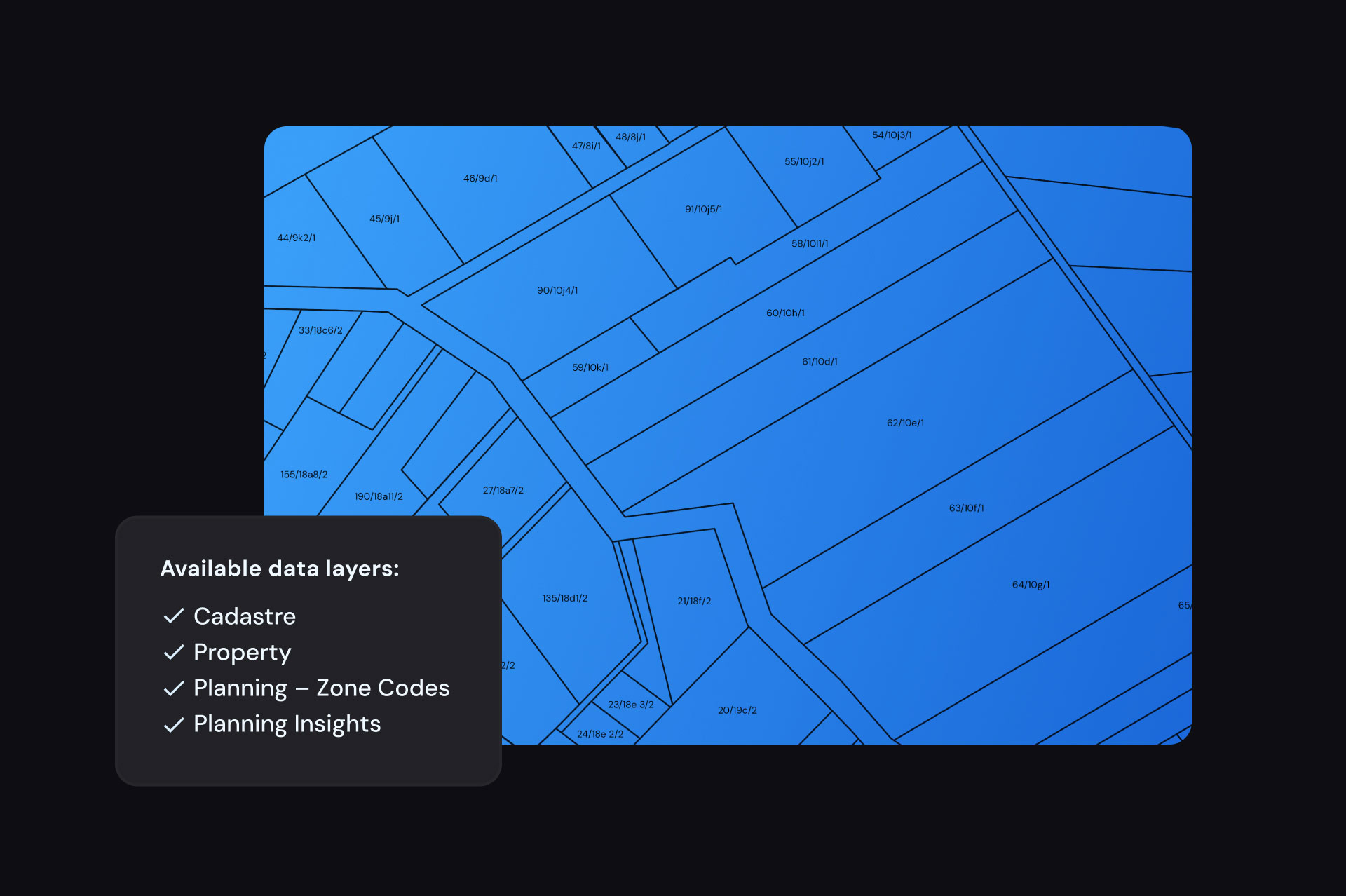
Cadastre is a spatial representation of all cadastral parcels defined by the state and territory governments of Australia. Geoscape’s Cadastre dataset aggregates the complex representations unique to each jurisdiction into a consistent, seamless representation of the cadastral fabric of Australia. By combining the Lot, Strata, Stratum, and Road plans Geoscape’s Cadastral data enables you to view the boundaries and associated attributes of these features in addition to providing linkages to jurisdiction Land Registries.

Row Image

Planning

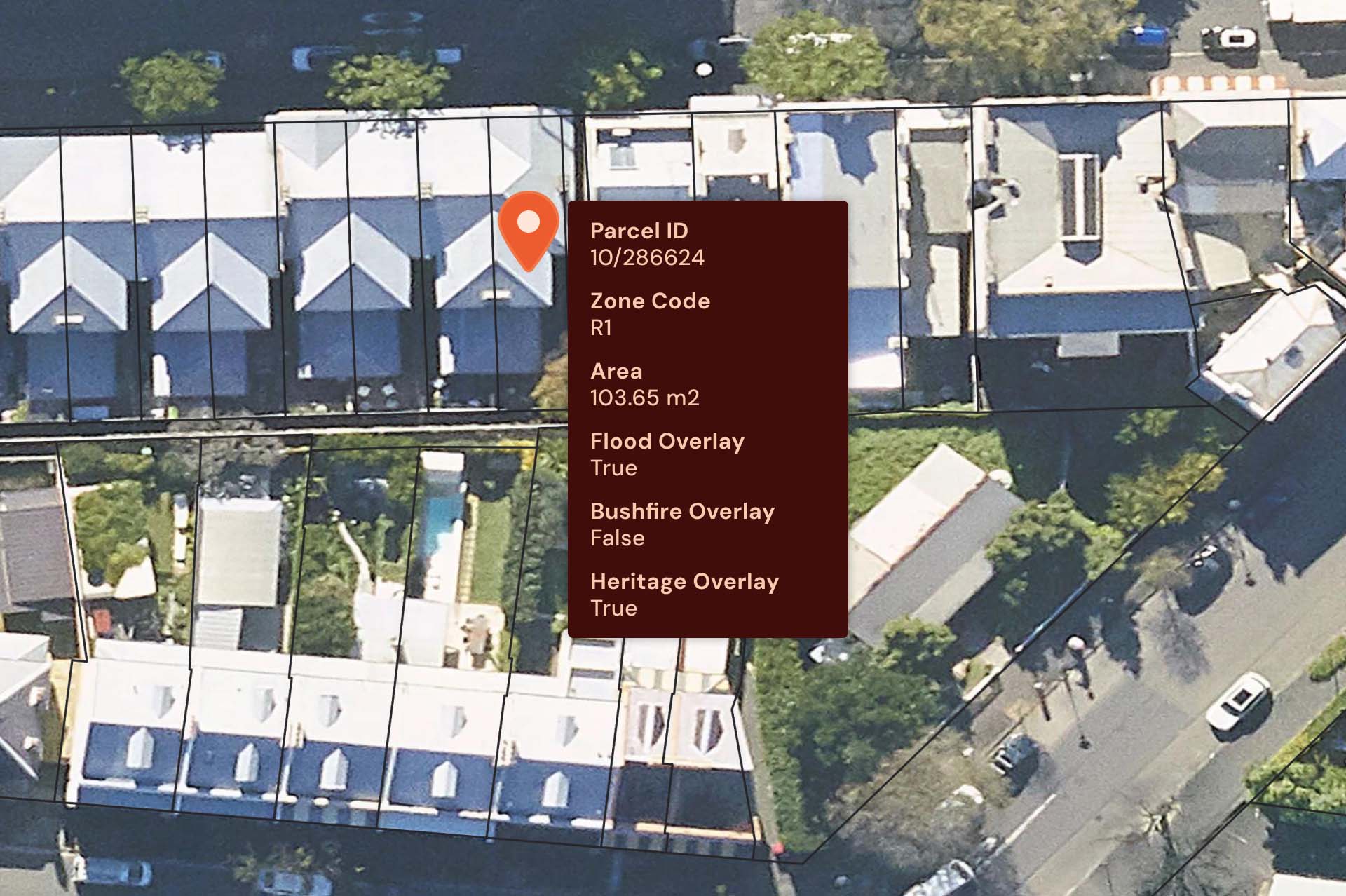
Geoscape is a trusted planning zone data provider. Geoscape’s Planning data provides information about the type of development that may occur at a location and details all the national planning zone codes. It also aggregates this information across state, territory and local governments, and assigns a national planning zone attribute to ensure consistency. Plus, data source and URL attributes are provided to make it easy for you to locate the relevant state or local government planning authority if you require further information on site restrictions or permitted activities.

Row Image

Property

Geoscape’s Property data is a seamless national representation of Australia’s property parcels. Property enables you to gauge a full understanding of land boundaries on both a local and broad scale, and hone in on non-overlapping properties. To unlock further powerful insights, you can connect Property to the Cadastre dataset and access a complete understanding of the structure of complex land holdings and information for rates issuance management.

Australia at your fingertips

Save time & boost productivity

Whether your goal is to power projects and processes, or to create your own location-based solution, with Geoscape’s accessible, easy-to-use cadastre, planning and property zoning data, you can reduce manual labour and increase productivity!

Cut costs & improve efficiency

By leveraging Geoscape Land Parcels to fuel your projects, processes or products, you can significantly reduce costs in certain areas and improve overall efficiency.

Improve decision making

Location-based analysis can reveal illuminating insights for businesses and fuel predictive analysis.  With access to Geoscape’s comprehensive, reliable Land Parcels, you can make better, more informed business decisions, faster!

Our Customers

Why customers prefer Geoscape Land Parcels

Row Image

Complete picture of property

With Geoscape Land Parcels, you can access a complete geospatial representation of land parcel boundaries across Australia. It’s your choice whether to access full states or select just the area you need for a ready to use base for your next project.

Row Image

Wide range of integrations

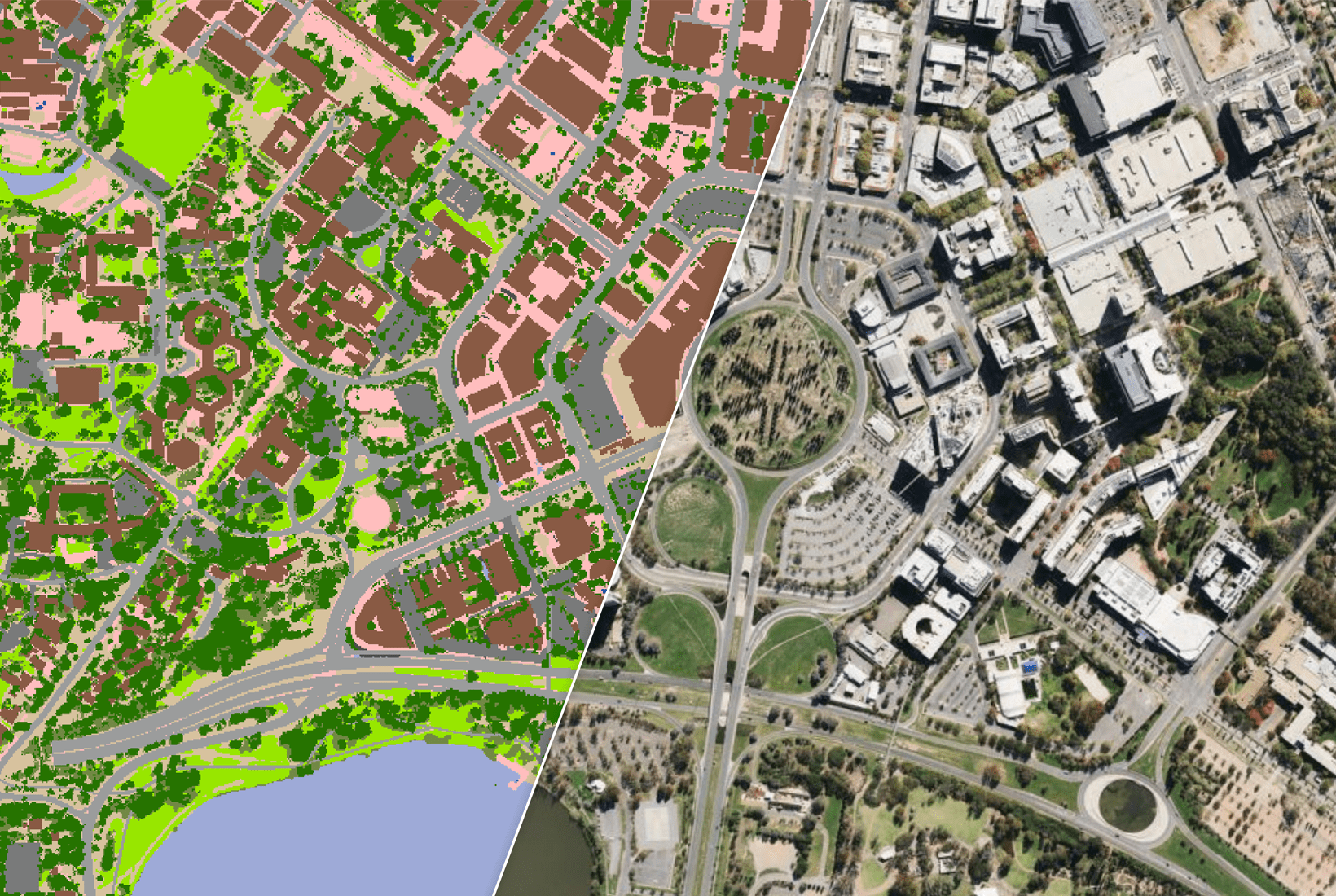
With Geoscape Land Parcels, you can easily integrate various other datasets to boost value. For example, you can connect Cadastre to the Geocoded National Address File (G-NAF) or use it in conjunction with Geoscape Buildings, Property and Planning data.

Row Image

Consistently formatted data

No longer rely on uniting multiple sources to get the property data you need. With Geoscape Land Parcels you can access nationally consistent cadastre, planning and property zoning data all in the same place, from a single source.

Don't just take our word for it

  • “At Aerometrex, our aim has always been to work with leading industry partners, such as Geoscape, to create spatial data products that serve our customers through the MetroMap platform. Geoscape’s professionalism to support our spatial data objectives by using cadastral, building information, zoning and roads continues to provide valuable insights for our large enterprise and government customers.”

    – Denis Fernandez, Strategic Partnerships Manager, Aerometrex

Unlock a new level of productivity & efficiency with Geoscape

Discover how Geoscape can bring the power of cadastre, planning and property data to your business today.