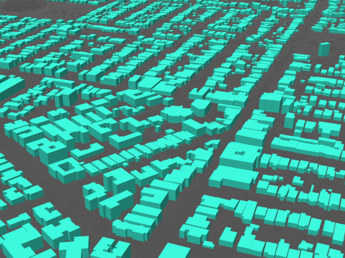
Environmental noise assessments for major developments and construction projects typically require detailed 3D modelling. And the essential acoustic modelling ingredient is reliable, easy to use buildings data.
Understanding how a development may impact local residents, businesses and communities is an essential step in the planning and design process. Analysing the context of the proposed development paints a clearer picture of sensitivities around land use.
Time is money
We know that sourcing the right spatial data for modelling and visualisations – at the right time, for the right location – can be, let’s be honest, painstaking and arduous for professionals like acoustic modellers and urban planners. Lead times. Data sources that are fragmented by geographic region and data type. Inconsistent data formats, gaps in coverage and software integration. It’s a notoriously manual and time-consuming process. And who has time to digitise buildings by hand in QGIS?
Plus, estimating the cost of sourcing (or previewing) spatial data prior to needing it, for tendering purposes, is challenging. How can this process be streamlined for acoustic engineers and noise modellers?
Sourcing spatial data
There are broadly four options for sourcing buildings data for noise modelling.
1. Search for an open data source.
Searching for open source data is a good option if you want to save money – it’s free and readily available if the specs align with your needs. However, the data may not be complete in terms of geographic coverage and it may lack the data attributes you require. It can also be difficult to determine if it’s up to date and accurate.
Generally, open source data will require some manipulation to suit your needs, often at an additional cost.
- Consider: When you need to source the same data in future, will it still be available via open source?
2. Capture it manually yourself.
Capturing your buildings data manually means you get what you need with immense confidence in the data. However, it can be time consuming and monotonous work that lowers your overall productivity. Time is inevitably wasted in creating and combining data manually.
- Consider: How efficient is manual capture when producing noise models that span thousands of buildings or hundreds of kilometres?
3. Engage a third party to capture it for you on request.
There are many providers willing to capture the data you need, at a cost. You’ll need to allow enough lead time for them to process your request. And you’ll need to prepare your budget in advance. It can be expensive. Typically, you can only access a small area at a time, but you tend to get what you need.
- Consider: How quickly can you get an accurate cost estimation for a large project? How quickly can you get your data?
4. Buy ready-to-use data for your project area.
This data is available when you need it, on-demand. It covers the whole of Australia and includes more than 15 million buildings and 14 million addresses.
With Geoscape’s on-demand data service, you can subscribe to access the data you need for your projects. It’s consistently formatted and comes from a reputable source.
You use a pen tool to draw over a map to define your area of interest (or upload a Shapefile) and get the slice of data that’s relevant to your modelling.
- Consider: Would it cut your workload to access building outlines, heights, addresses and land use zones all in one Shapefile?
Data engineered for engineers
Ready-to-use, on-demand data is the smart way to source buildings data for noise modelling.
Geoscape data on-demand includes building outlines, heights and addresses, which you self-select and download as a Shapefile (.shp) that can be effortlessly loaded into noise modelling software such as SoundPLAN®, CadnaA® and iNoise®.
On-demand means instant access. Select and download data to suit your modelling needs, on a project-by-project basis. Visualise the data before you download it.
Geoscape’s national coverage and self-service access can reduce the cost of sourcing accurate data by up to 90%.
Know what you’re getting
Geoscape is the digital Australia. It describes our complex cities, regional centres and rural communities. It includes every building (with a roof area greater than 9m2) and every address across Australia’s 7.6 million square kilometres.
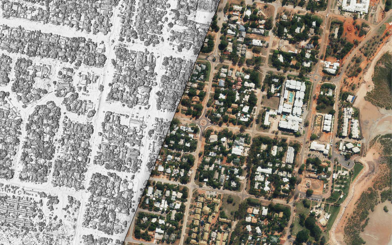
Buildings data is extracted from satellite and aerial imagery using artificial intelligence and machine learning. A ground control program ensures accuracy. It represents unprecedented accuracy and coverage.
And, as Australia changes, so does Geoscape. Address data is updated daily. Buildings data updates are focused on Australia’s fastest changing areas. Satellite and aerial image recapture is guided by changes in land parcel data.
Simplified quoting
With free, instant quotes and flexible data plans, you only pay for what you need. This gives you greater transparency around cost, which you can pass onto your clients.
SoundPLAN® is a registered trademark of SoundPLAN GmbH.
CadnaA® is a registered trademark of Datakustik GmbH.
iNoise® is a registered trademark of DGMR Software B.V.

