Minimising the Risk: Strategies to Reduce Tree Intrusions onto Overhead Powerlines

Trees near powerlines can increase wildfire risk and safety hazards.        

Published 30 Mar, 2023

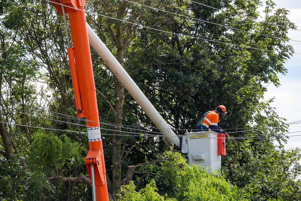
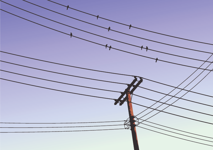
One of the most important features of modern life is the reliable distribution of power to customers. Overhead powerlines are an essential element of the distribution system, although they are vulnerable to damage from storms, bushfires, and nearby trees.

While trees help to make an area more appealing, healthy, and sustainable, they also give major environmental advantages by improving air quality, lowering stormwater runoff, and reducing street-radiated heat. Trees growing near the required safety clearance lengths of powerlines, on the other hand, pose a wildfire threat and can be dangerous.

Understanding the need to reduce the risk

Addressing the risk caused by tree growth near overhead powerlines is one of the most expensive recurrent maintenance charges encountered by Distribution Network Service Providers (DNSPs) in Australia.

The Australian Energy Regulator’s 2021 AER Report highlights the magnitude of this issue, revealing that the average operating expense for vegetation management along overhead powerline kilometers ranged from $300 to $1800 between 2016 and 2020.

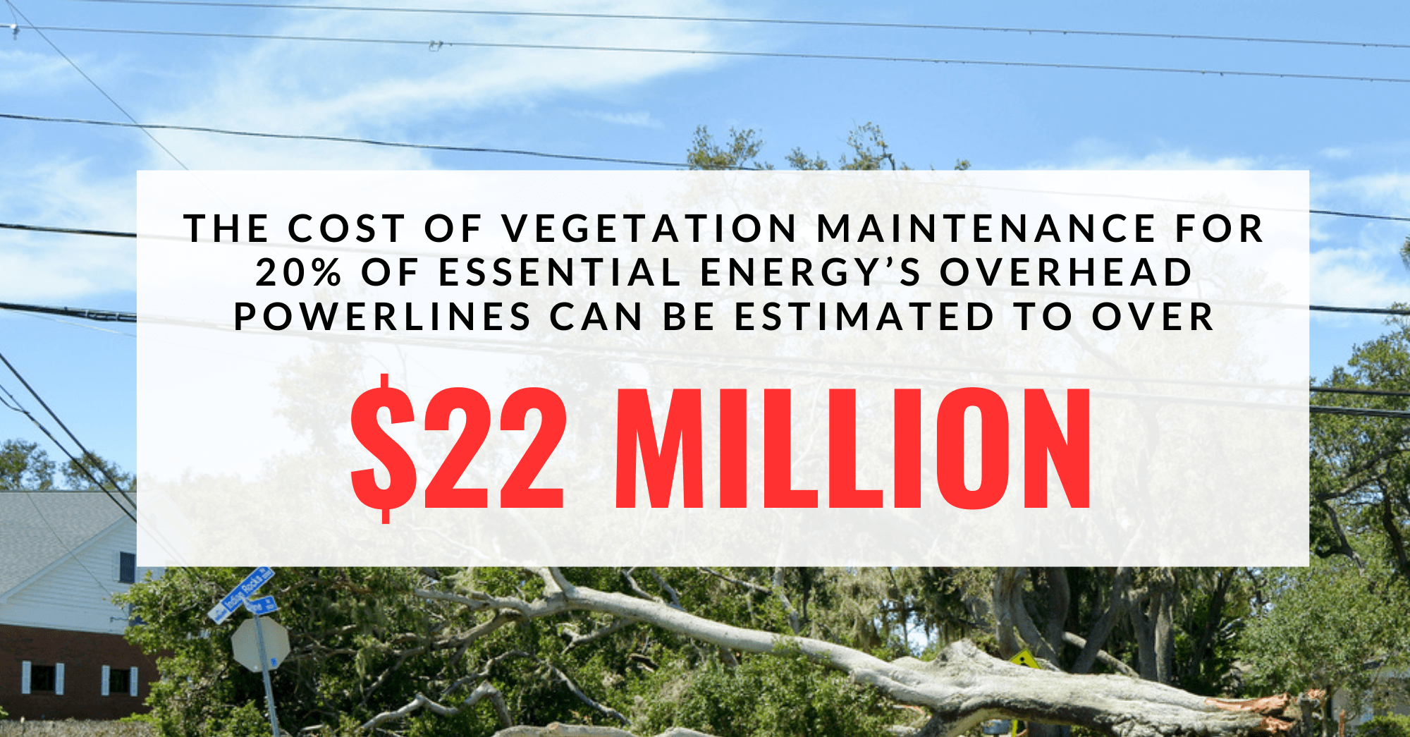
For example, Essential Energy, a rural DNSP in New South Wales, has roughly 180,000 km of overhead powerlines in their network. Over the same period, Essential Energy’s average OPEX cost for vegetation maintenance was around $600 per line kilometre, translating to a potential recurrent vegetation control OPEX of $108 million if 100% of their overhead powerlines require vegetation management.’

Even if only 20% of Essential Energy’s overhead powerlines require vegetation maintenance, the cost would still amount to over $22 million, a significant financial burden that DNSPs cannot overlook. Therefore, it is critical to implement strategies that ensure effective vegetation management to minimize the risk of power outages and ensure the safety of the public and utility workers.

image
Image created using Geoscape Buildings and Solar © Geoscape Australia 2023 Copyright and Disclaimer Notice, and basemap from OpenStreetMap

Ways to reduce risks

DNSP minimise these risks through vegetation management programs and landowner education programs that aim towards controlling existing tree growth and providing guidance on new tree planting.

Vegetation management often consists of frequent tree trimming near assets, regular visual examinations of assets for vegetation damage, and the creation of minimum safe clearance distances for trees from overhead powerlines.

Tree trimming and visual inspection intervals vary based on tree species and local circumstances but can be up to 12 months. The distance between overhead powerlines and trees is represented by the minimum safe clearance, which varies based on the voltage carried by the powerlines, the span between poles, and the placement of the powerlines (urban or non-urban).

image
A visual representation of G-NAF, with the cadastre boundaries for context. © Geoscape Australia 2023 Copyright and Disclaimer Notice

Landholder education is another way to minimise risks, which provides recommendations on tree species to be planted near electrical distribution assets, as well as the spacing between new plantings. The landholder or distribution firm may be accountable for the expense of trimming existing trees near powerlines, depending on the placement of the tree canopy relative to a property border.

Geoscape’s urban trees data depict the locations of trees. and when overlaid with overhead powerline data, can be used to effectively map the zones of risk for tree incursion into overhead powerlines. Geoscape Surface Cover can also be used in non-urban regions.

image
Image created using Geoscape Buildings and Solar © Geoscape Australia 2023 Copyright and Disclaimer Notice, and basemap from OpenStreetMap

About Geoscape Trees and Surface Cover

Geoscape Trees is a national dataset representing tree cover and associated heights in Australia’s urban areas. It is a raster dataset with a digital pixel representation of tree cover and height at a two-metre resolution.

Geoscape Surface Cover represents land cover categories across Australia. It is a raster dataset with a digital pixel representation of Australia’s different types of ground cover. The resolution is two metres for urban locations and 30 metres for non-urban locations.

Further information may be found here.

Read our blog, “Keeping Tree Root Intrusions Out Using Geoscape Trees and Surface Cover Datasets,” to learn how Geoscape Surface Cover and Tree datasets may aid in the understanding of tree root incursion in sewer pipes.

Authored by – Stuart Barclay, Geospatial Solutions Engineer.

Get in touch

Let’s discuss what you can achieve with location intelligence

Contact us