Key features
Real time address verification that enables digital transformation and enhanced customer experiences

Direct link to G-NAF
Provides seamless access to Australia’s authoritative geocoded address file.

Regular national maintenance
Ensures data is always up-to-date and reliable across all regions.

Commercial licence
Offers a robust, licensed solution.

Third-party integration
Easily integrates with third-party or customer-specific content for enhanced functionality.
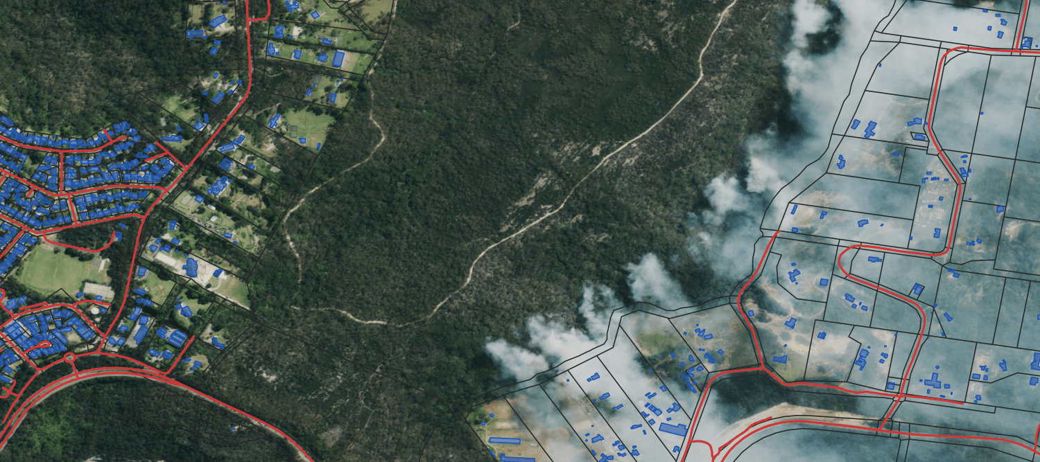
Real world applications


Urban planning
Helps identify Urban Heat Islands, areas warmer than their surroundings due to human activities, helping urban planners mitigate the effects of this.
Smart planning
Determine areas that may be at risk of natural disasters and plan accordingly.
