Use cases
Enhanced capabilities for insurance organisations
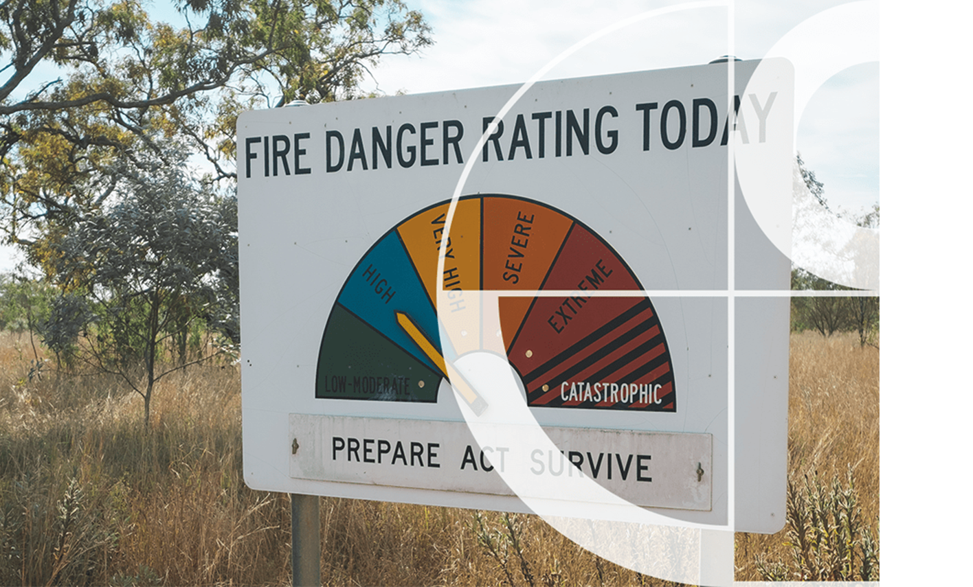
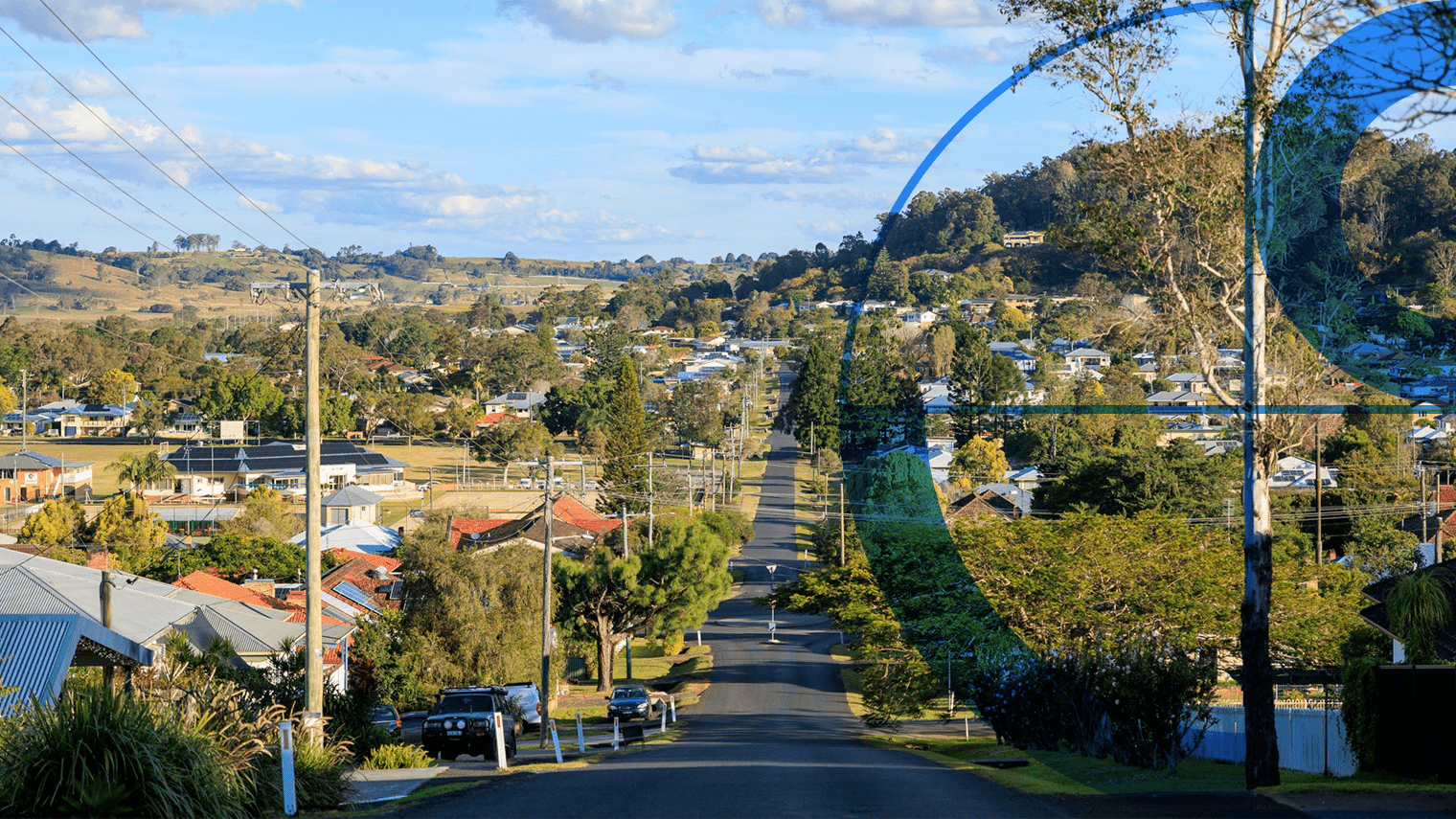
Optimise risk modelling
- Accurately locate properties and assess proximity to hazards such as storms, floods, and bushfires.
- Use Geoscape’s national location data for precise decision-making down to the address level.
- Include details like building footprints, heights, ground elevation, roof specifics, and surrounding features (e.g., solar panels, pools, tree overhang).
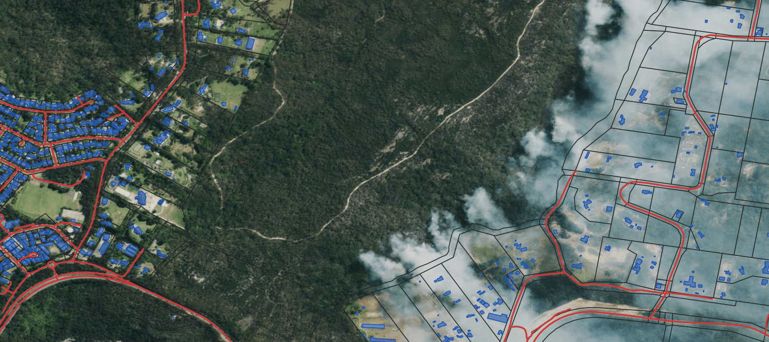
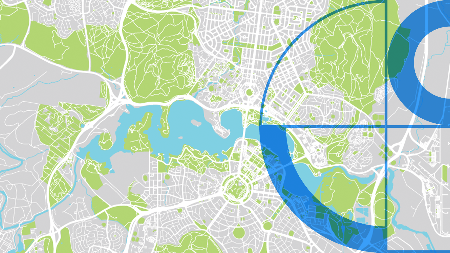
Risk exposure and policy renewals
- Visualise, understand, and analyse risk exposure.
- Use built environment data to determine risk ratings and monitor changes in insured properties.
- Base pricing and policy renewals on accurate data.

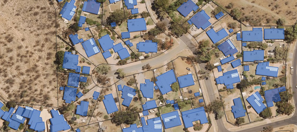
Enhanced claim management
- Develop risk analysis systems, dashboards, and reports.
- Advise customers on potential property risks for proactive asset protection.
- Improve claim processing efficiency and customer experience by understanding the policyholder’s environment.

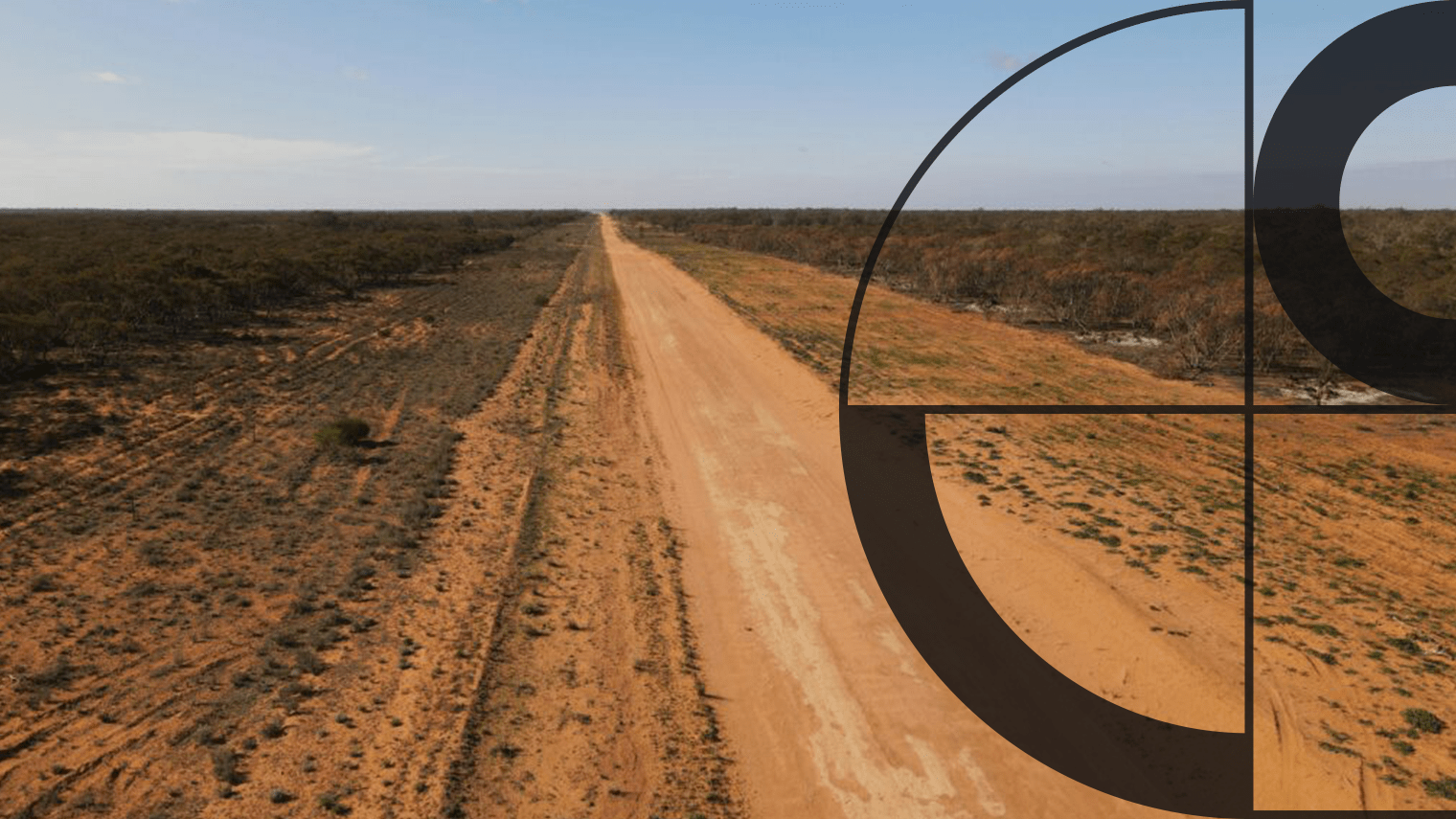
Fewer site visits
- Remotely survey sites to check distances, roof characteristics, and tree coverage.
- Use continually updated Geoscape data for accurate real-world loss estimation.
Impact Stories
Real world applications of Geoscape solutions
APA Group’s Improved Efficiency with Geoscape Solutions
How APA Group partners with Geoscape to enhance geographic data efficiency
Geoscape APIs deliver address data integrity for EWON
How EWON increased productivity and improved service delivery with accurate address data

WindTech Streamlines Wind Modelling with Geoscape Data
How WindTech Reduces Project Time with Geoscape Data
Enhancing the ABS Census with Geoscape Addresses
The Australian Bureau of Statistics leveraged Geoscape solutions to streamline form completion and ensure data accuracy in the ABS Census.

Some images on this webpage were created using aerial imagery © Aerometrex Ltd.