Use cases
Enhanced capabilities for utilities businesses
Asset planning and management
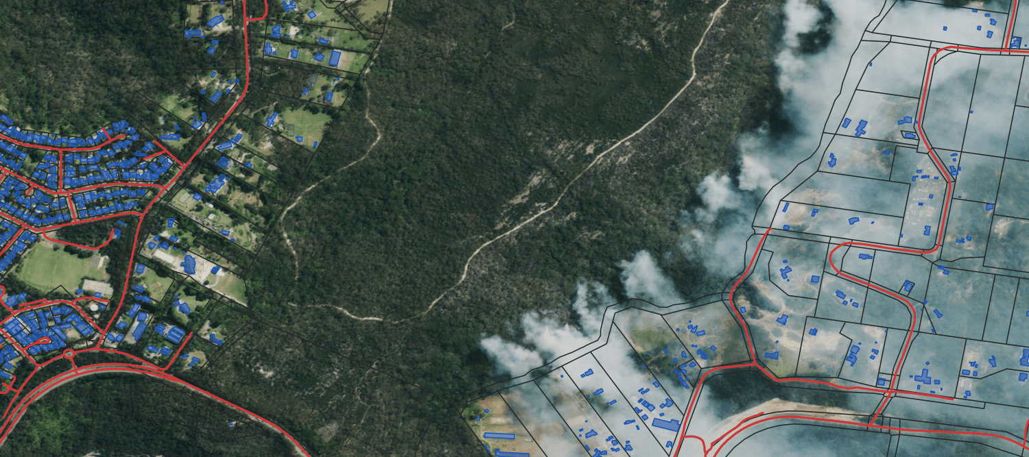
- Effectively plan, manage, and optimise a broad network of assets or infrastructure using valuable insights about the built environment and population changes.
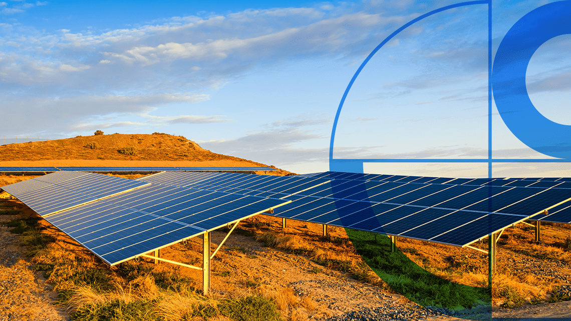
- Better assess the risk, cost, and potential performance of investments in hydro, wind, or solar.
- Get insights into locations across Australia without on-site visits.

Improve customer service
- Improve service delivery by understanding customer needs through location data insights and analysis.
- Use reliable location data for address validation to automate customer interactions and reduce manual errors.
Climate risk management
- Use modelling to identify potential risks from extreme weather events.
- Identify opportunities for transitioning to sustainable energy sources and storage on the path to net zero.
- Use insights to innovate, reduce emissions and protect natural assets.
Improved solar marketing
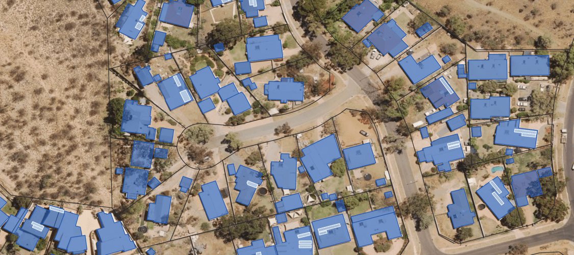
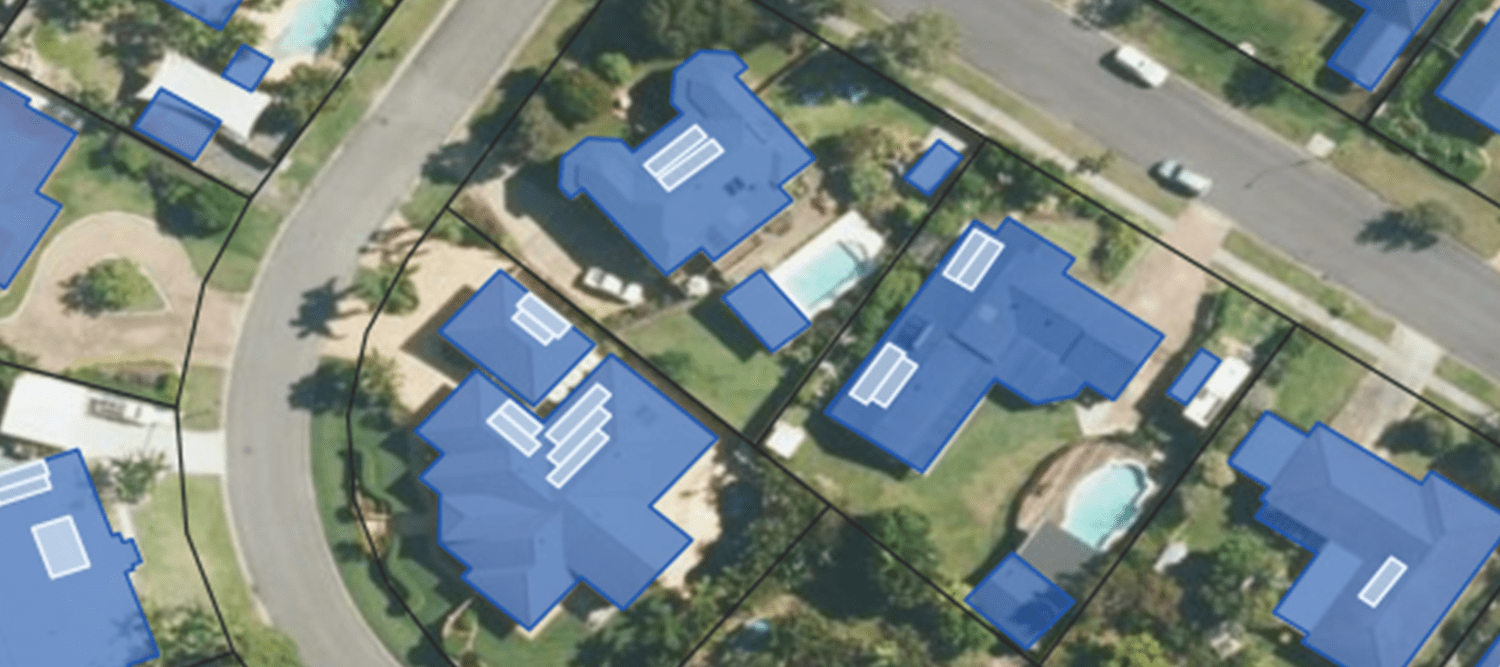
- Obtain an accurate database of Australian addresses to identify properties with or without solar panels.
- Target the right residential and commercial customers for solar batteries and other solutions.
Impact Stories
Real world applications of Geoscape solutions
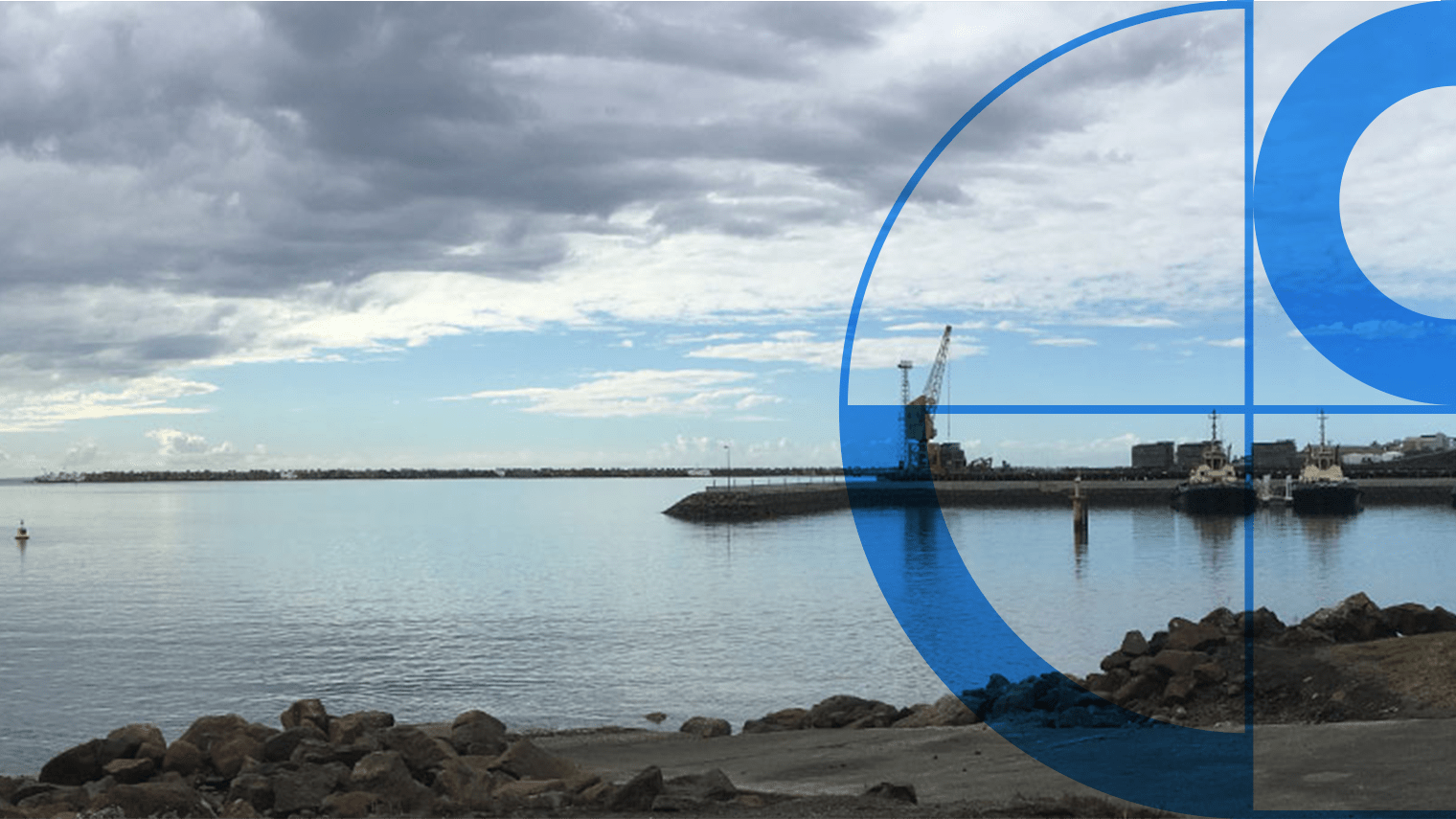
Geoscape Data Cuts Costs for GHD’s Noise Modelling
Accurate data saves time and boosts efficiency for Port Kembla project
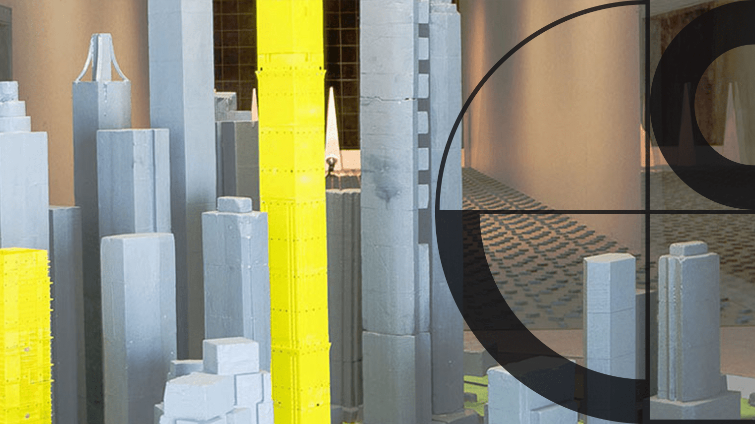
WindTech Streamlines Wind Modelling with Geoscape Data
How WindTech Reduces Project Time with Geoscape Data
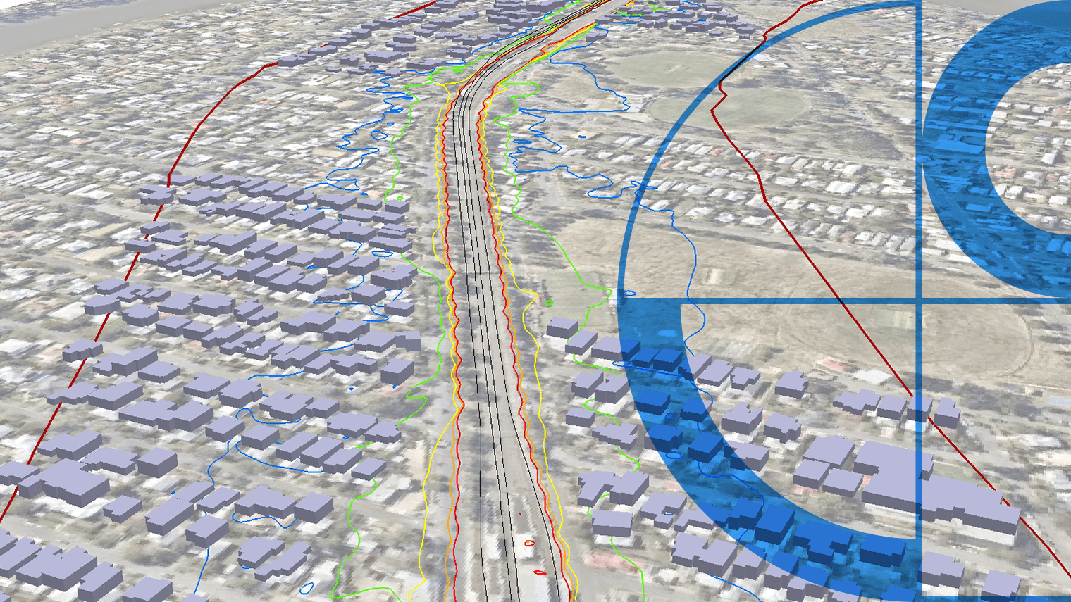
Geoscape Data Boosts SLR’s Noise Modelling Capabilities
Geoscape data enhances precision and efficiency in noise assessments
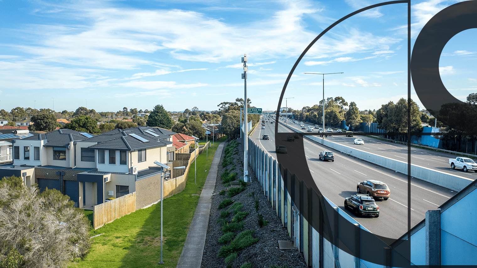
Geoscape Buildings Enhances Ambient’s 3D Noise Map
Ambient Maps develops detailed 3D transport noise map using Geoscape Buildings data.

Improving Customer Experience at Before You Dig Australia
How Geoscape’s Address Verification enhances BYDA’s safe digging application process
APA Group’s Improved Efficiency with Geoscape Solutions
How APA Group partners with Geoscape to enhance geographic data efficiency
Discover more
Customisable solutions for your industry

Some images on this webpage were created using aerial imagery © Aerometrex Ltd.