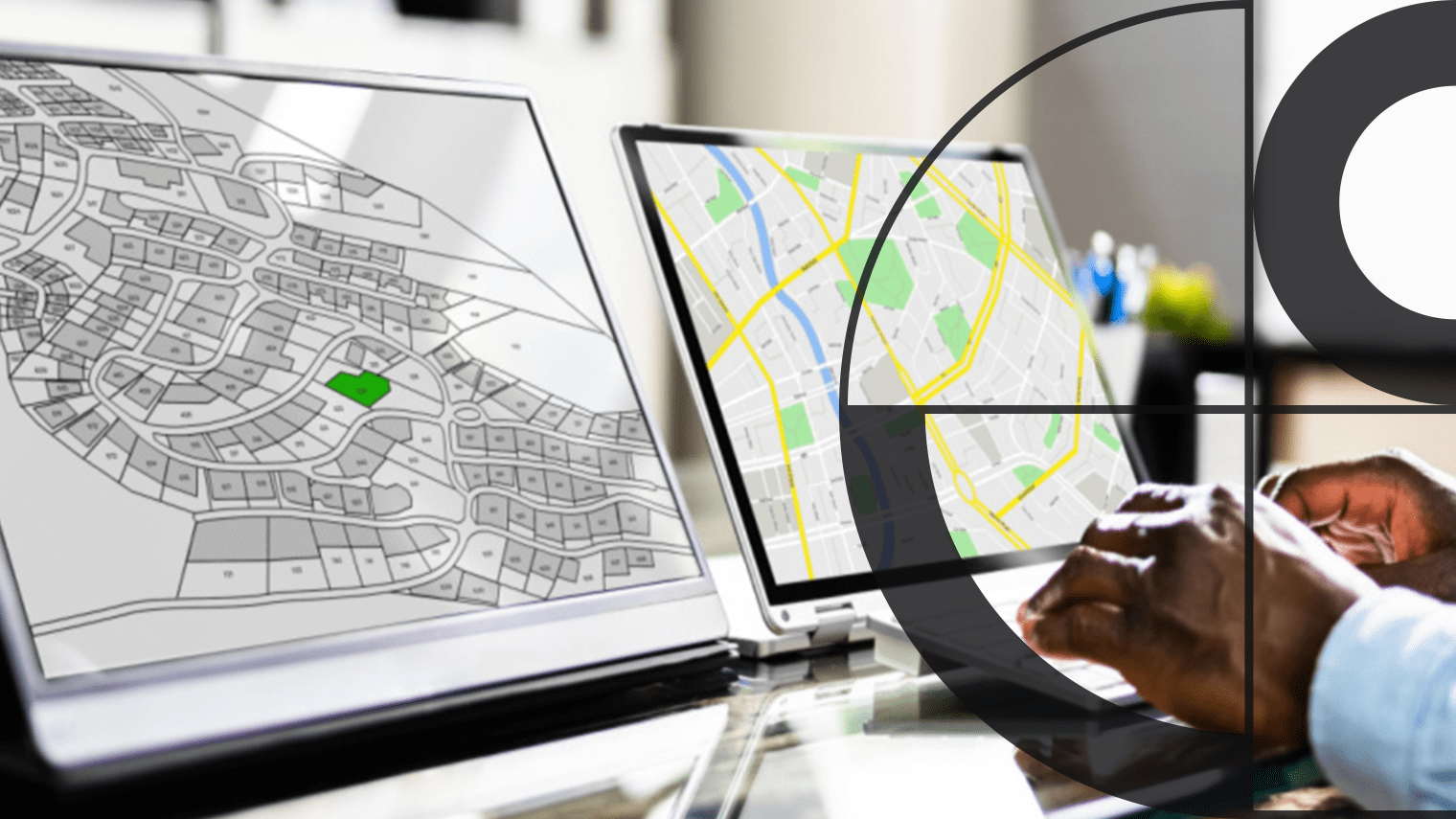
Use cases
Enhanced capabilities for government
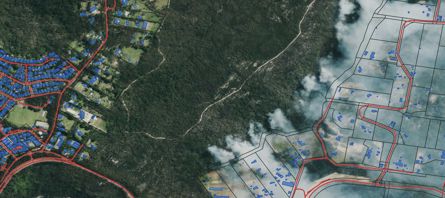
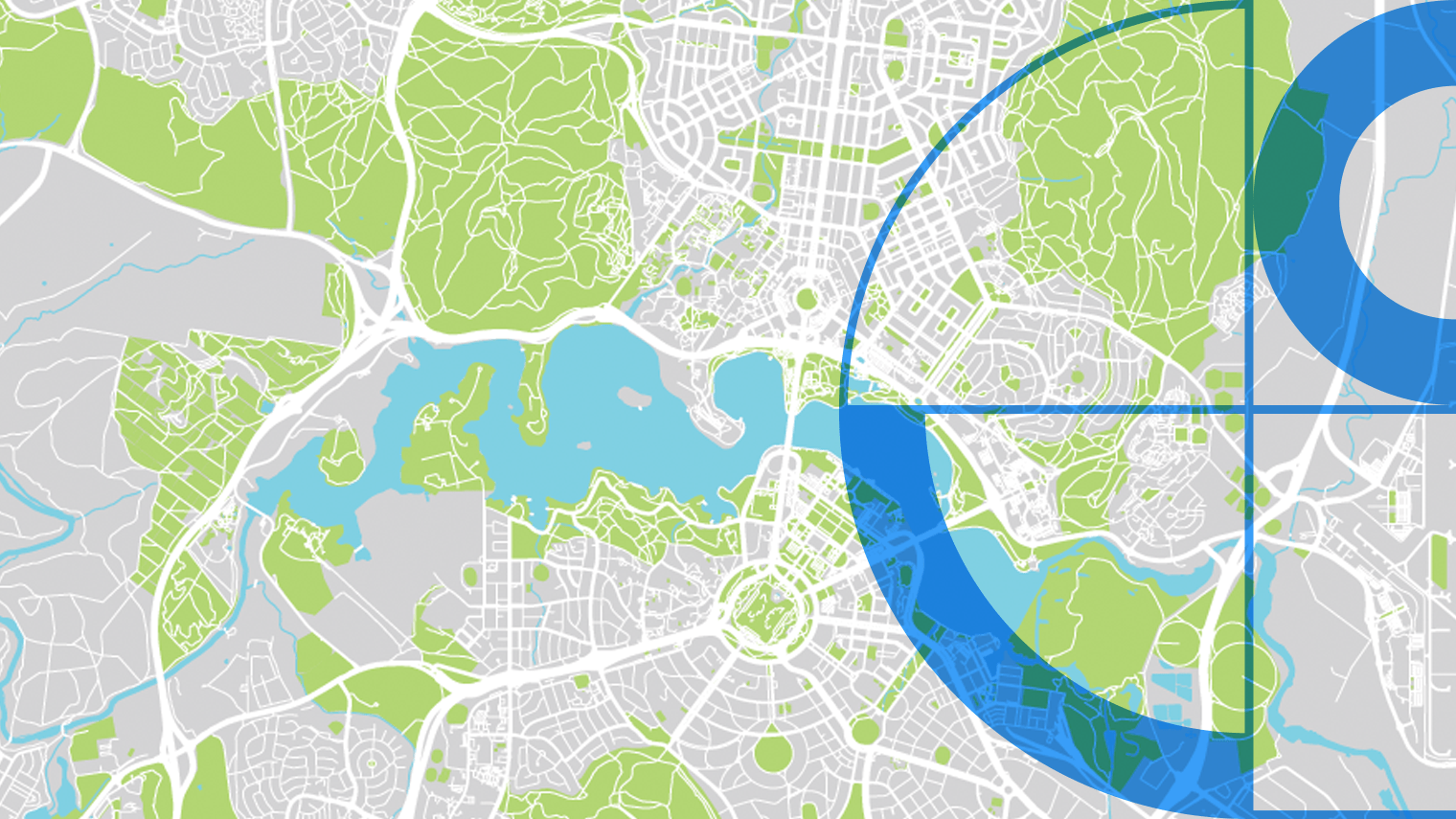
Climate and emergency management
- Manage and respond to emergencies more effectively across all stages from prevention to resilience.
- Identify areas for urban greening projects to enhance biodiversity.
- Employ building footprint data to enhance flood risk assessments.
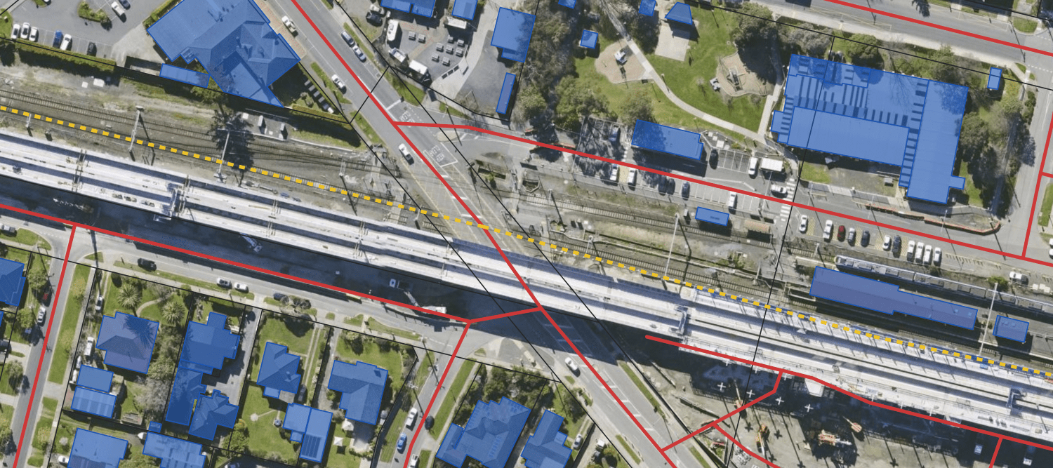
Transport
- Analyse the evolving transport needs and patterns.
- Identify which roads or rail lines require repairs or upgrades.
- Locate and address areas with significant traffic congestion.
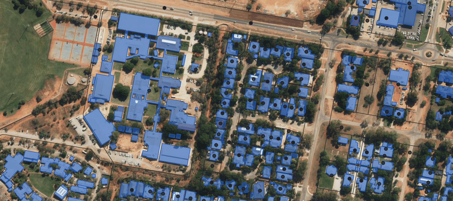
Education
- Identify enrolment areas and educational needs.
- Verify addresses to keep enrolment data accurate.
- Plan out new sites for expansion.
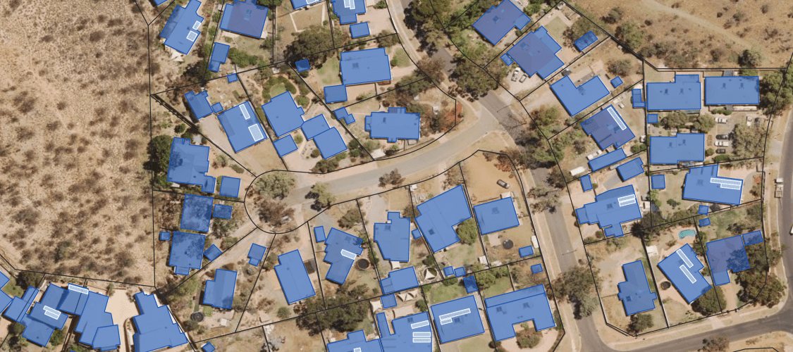
Planning and policy development
- Use 3D Models (Buildings HD) for improved internal and public consultations.
- Calculate floor area and land-to-asset ratios to better understand impacts.
- Assess risks, test policies, and adapt to local needs and trends.
Discover more
Customisable solutions for your industry
Impact Stories
Real world applications of Geoscape solutions for government
Geoscape Australia’s Role in Pandemic Border Management
Geoscape’s data helped Australia manage borders and contact trace during COVID-19
Geoscape G-NAF’s Critical Address Data for Emergency Services
For 15 years, the Geocoded National Address File (G-NAF) has played a pivotal role in emergency response across Australia.
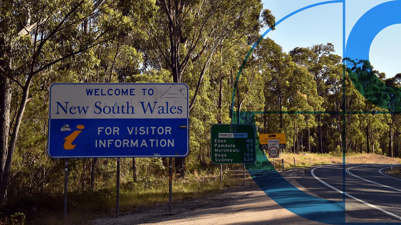
Geoscape APIs deliver address data integrity for EWON
How EWON increased productivity and improved service delivery with accurate address data

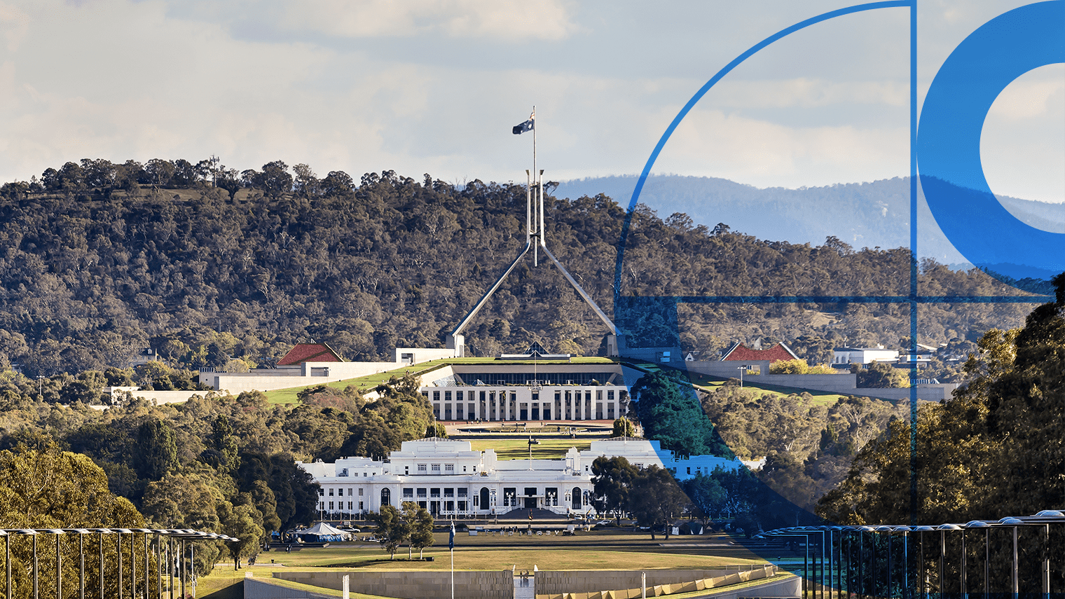
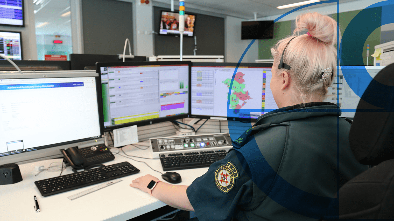
Geoscape Solutions Enhance ACT Government Efficiency
How it’s helping the ACT Government reduce spending and increase efficiency.
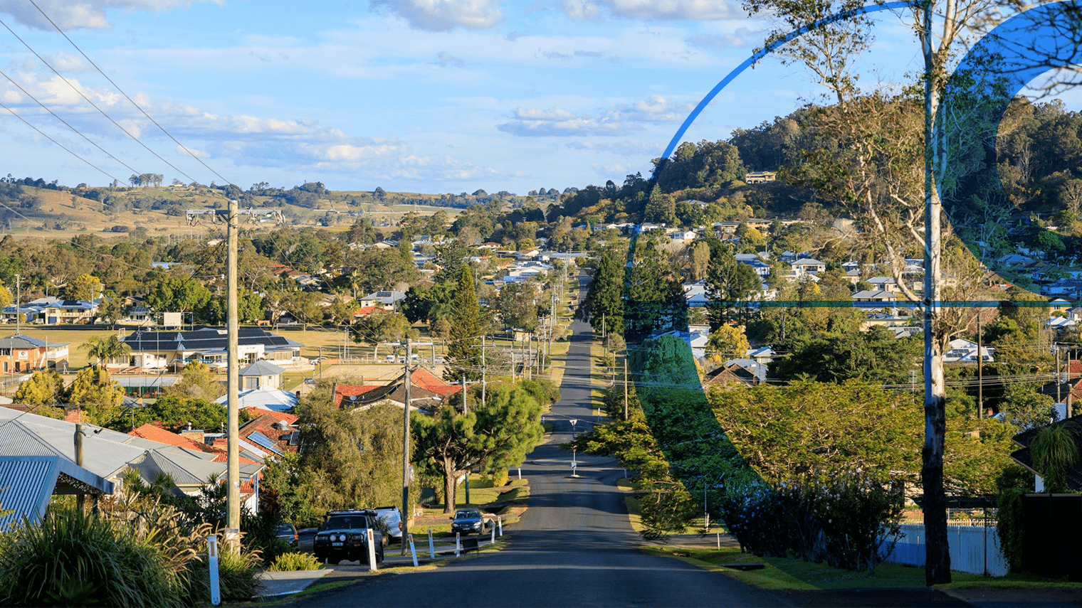
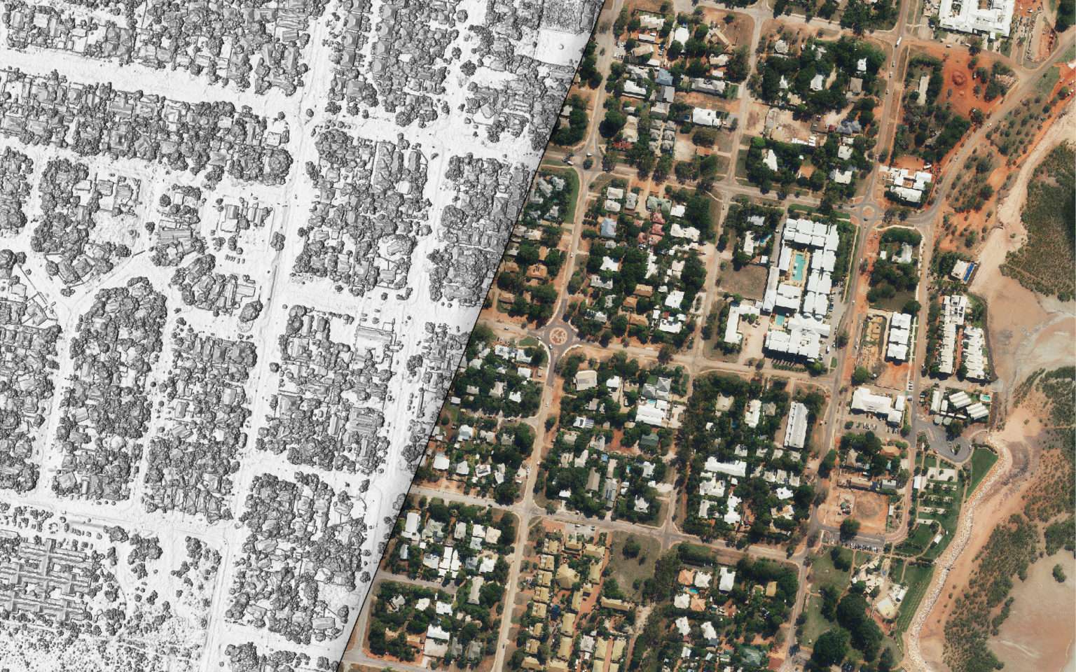
Geoscape Data Powers UQ Land Research
Custom data solution aids urban land use study across 11 LGAs.
Enhancing the ABS Census with Geoscape Addresses
The Australian Bureau of Statistics leveraged Geoscape solutions to streamline form completion and ensure data accuracy in the ABS Census.
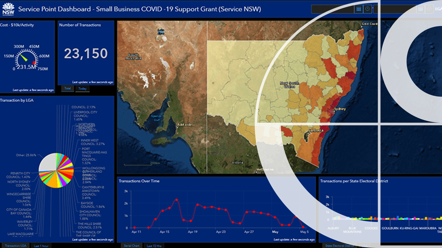
Boosting Government Efficiency With Better Address Services
How NSW Government Leverages Geoscape APIs
Some images on this webpage were created using aerial imagery © Aerometrex Ltd.