
Use cases
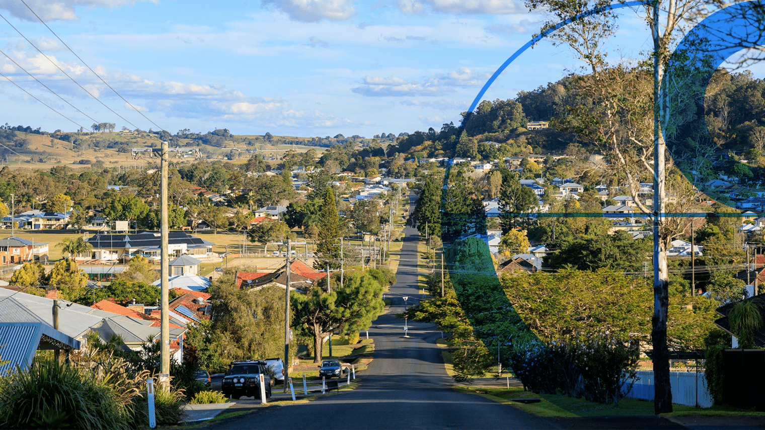
Enhanced capabilities for real estate and proptech businesses
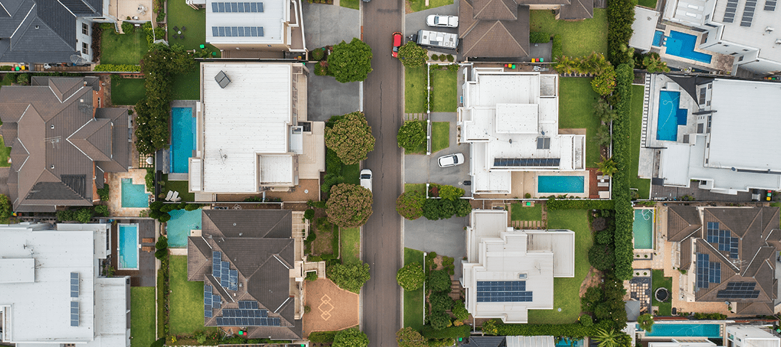
Site selection and planning
- Identify building locations, addresses, and planning zones.
- Assess proximity to vegetation, trees, solar panels, swimming pools, roads, and transport infrastructure.
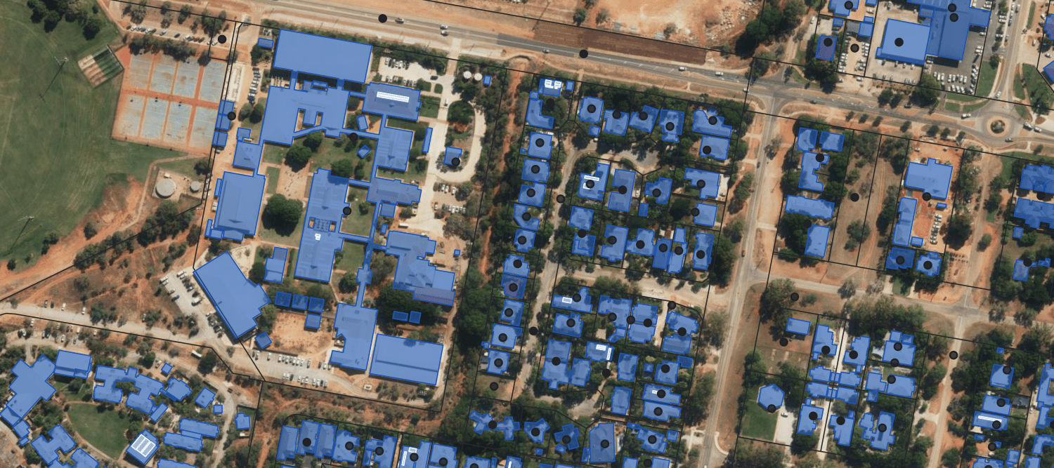
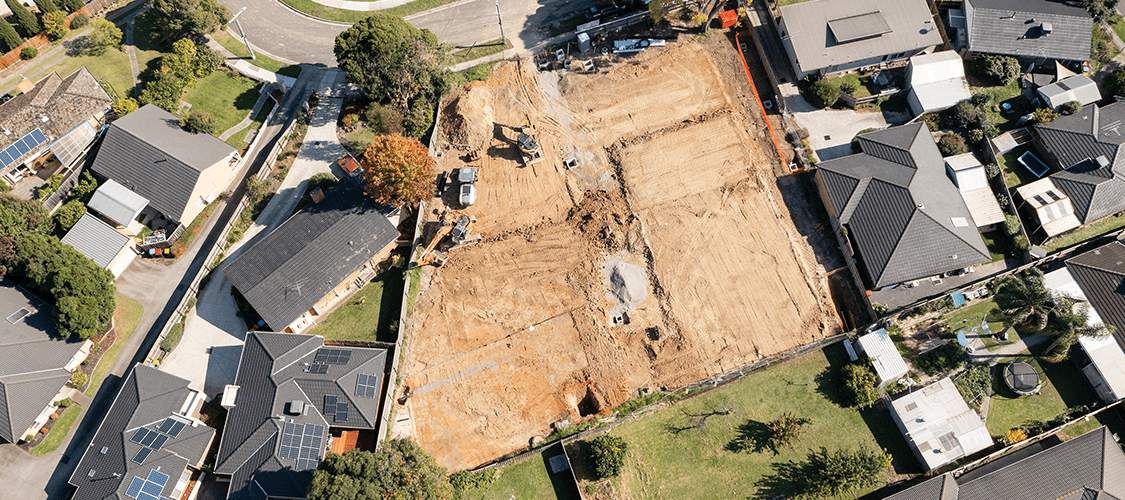
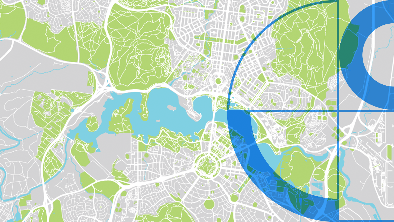
Development opportunities
- Measure distance to schools, public transport, shopping complexes, hospitals, and other amenities.
- Create interactive map visualisations to assess area value and track growth.
Impact Stories
Real world applications of Geoscape solutions
APA Group’s Improved Efficiency with Geoscape Solutions
How APA Group partners with Geoscape to enhance geographic data efficiency
Geoscape APIs deliver address data integrity for EWON
How EWON increased productivity and improved service delivery with accurate address data

WindTech Streamlines Wind Modelling with Geoscape Data
How WindTech Reduces Project Time with Geoscape Data
Enhancing the ABS Census with Geoscape Addresses
The Australian Bureau of Statistics leveraged Geoscape solutions to streamline form completion and ensure data accuracy in the ABS Census.

Some images on this webpage were created using aerial imagery © Aerometrex Ltd.