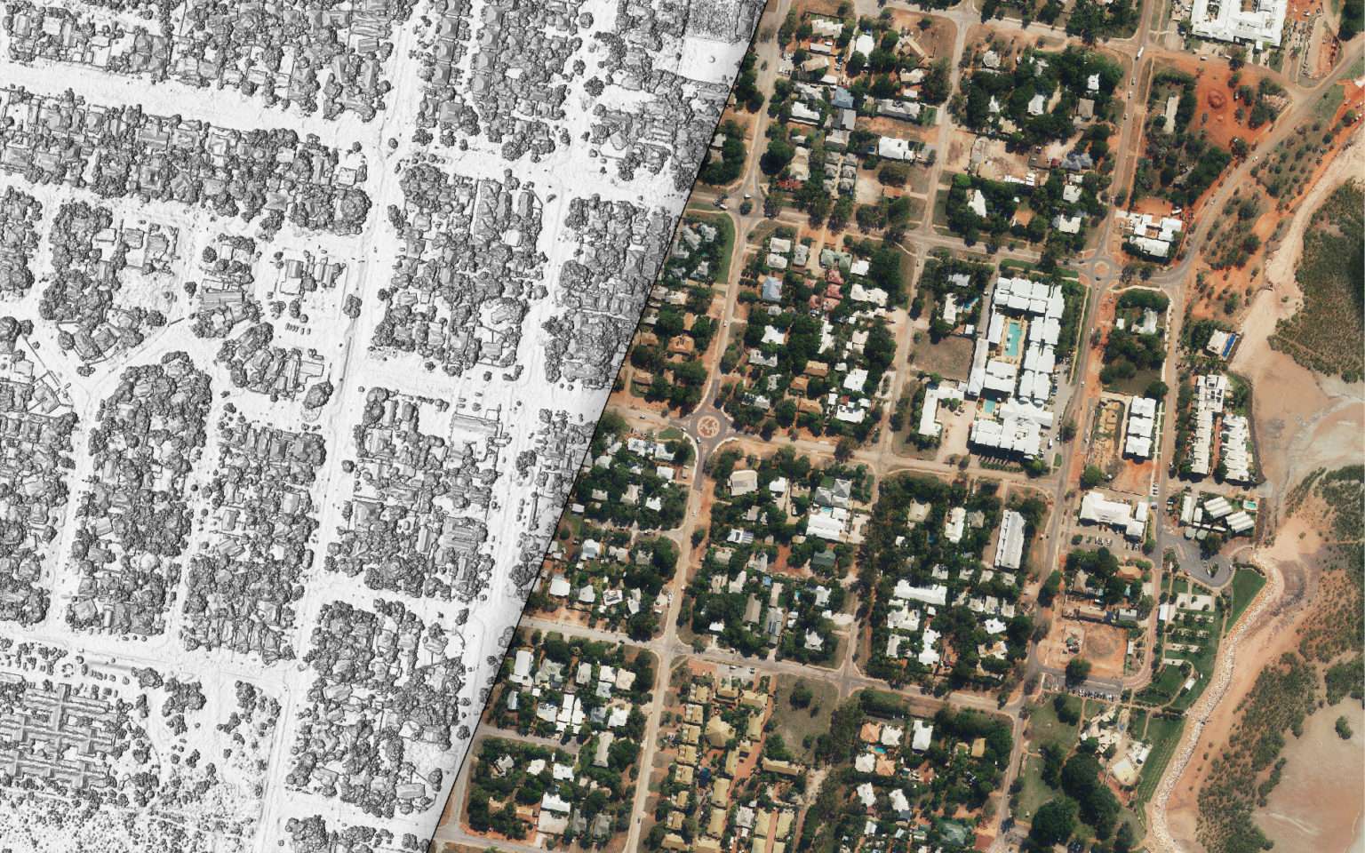
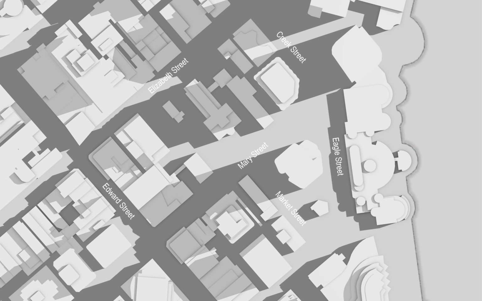
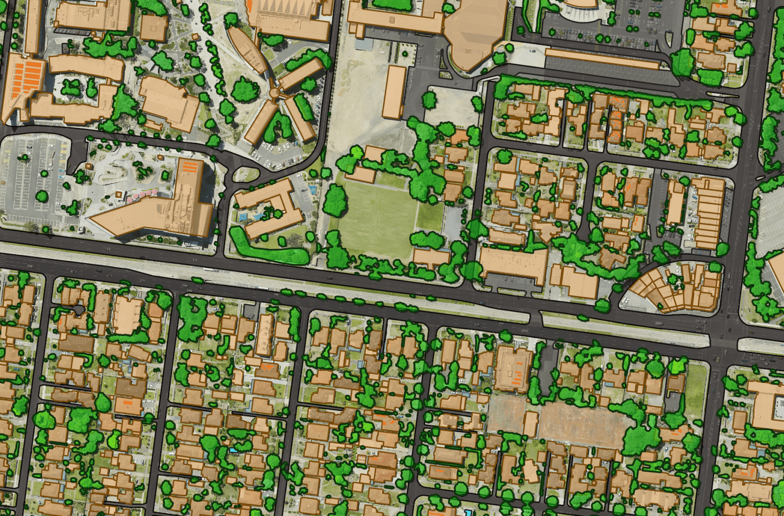
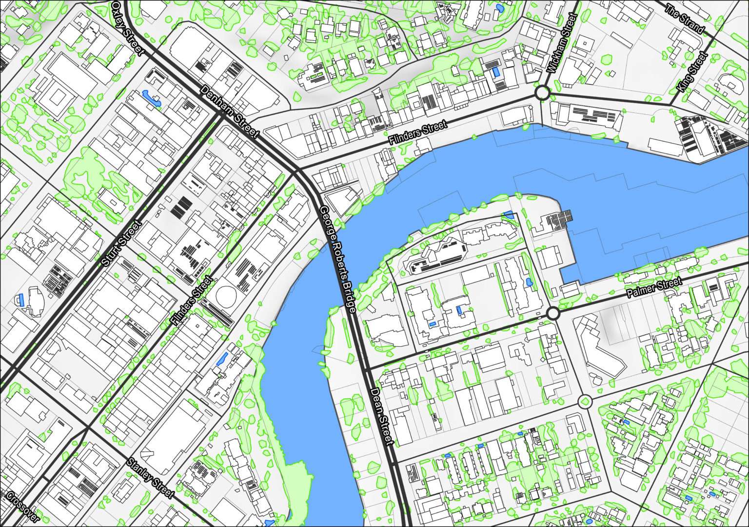
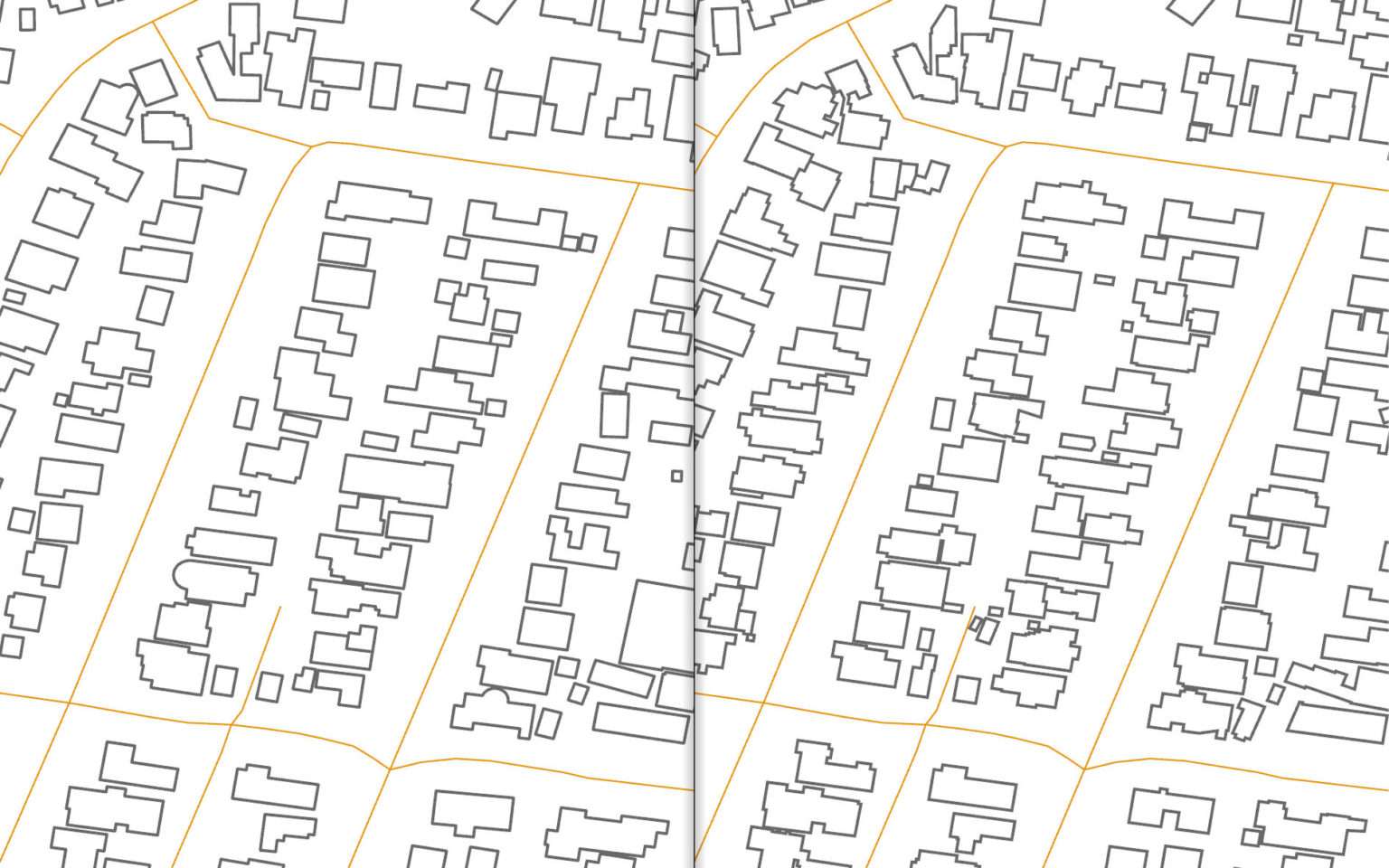
The single largest update of the product hit the market in November 2021. This release represented the new capture and definition of buildings across Sydney, Wollongong, Newcastle and parts of Melbourne. Geoscape is continuing to roll out data from these workflows across urban Australia, with the full rollout of Buildings 3.0 due to be complete by end of 2022.
Technical challenges
Releasing the enhanced version of Geoscape Buildings 3.0 wasn’t an easy task. As it is a foundational data product, the team needed to maintain its integrity while changing the capture and extraction process.
Working at a national scale created certain complexities from planning through to execution. It was important for the team at Geoscape to ensure unwanted artefacts or elements were not introduced into the product or that the quality is compromised, even in a localised area. The team took an agile approach to iteratively develop, deliver and test results.
A quality assurance process was established to address any supply data issues before they were incorporated into the product. Plus, updates were piloted with users to establish quality metrics. Product users were also notified of all changes through extensive product documentation.
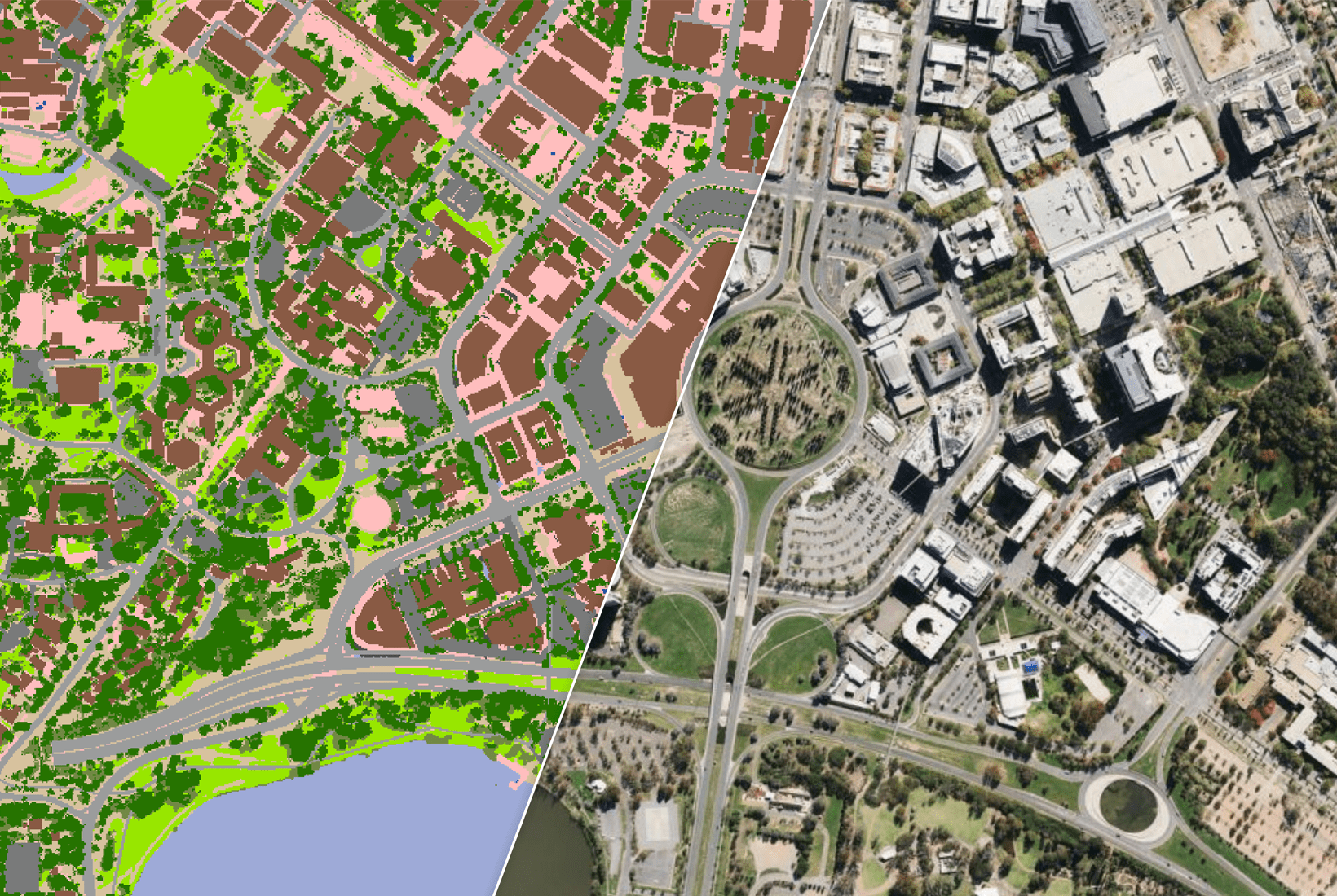
All the parts of the process needed to work well – from image capture, image processing, digital surface model production, feature extraction, quality assurance and data linkages with Geoscape Land Parcels and Address data products.
Stronger and better
We are proud to say that Geoscape Buildings 3.0 has changed what’s possible.
This product delivers enhanced currency through more frequent revisits of locations, creating stronger confidence in the data. With improved granular detail, Buildings 3.0 extends the capabilities for existing users and helps new users to innovate, for instance, the new product makes radio frequency modelling possible.
