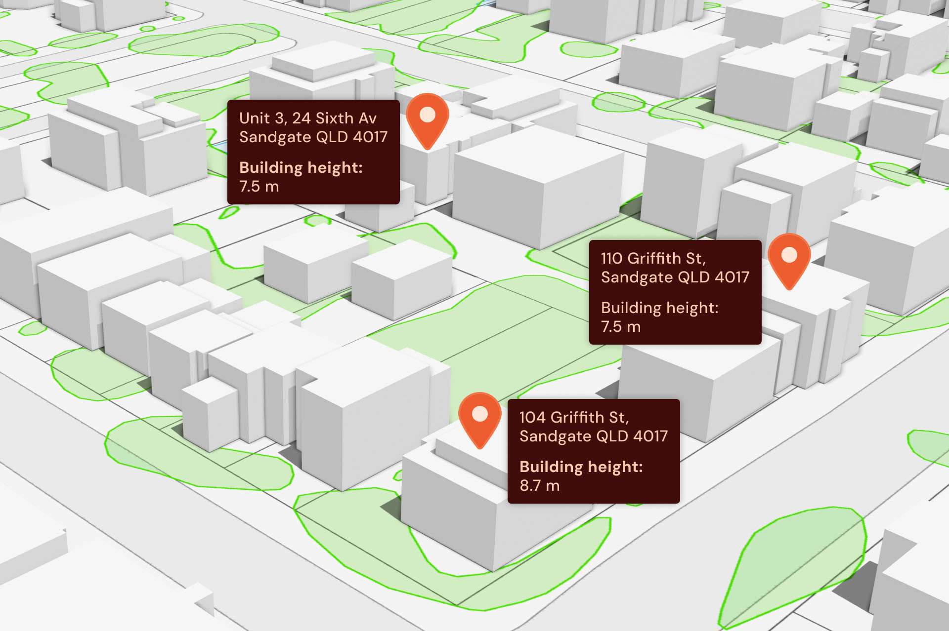
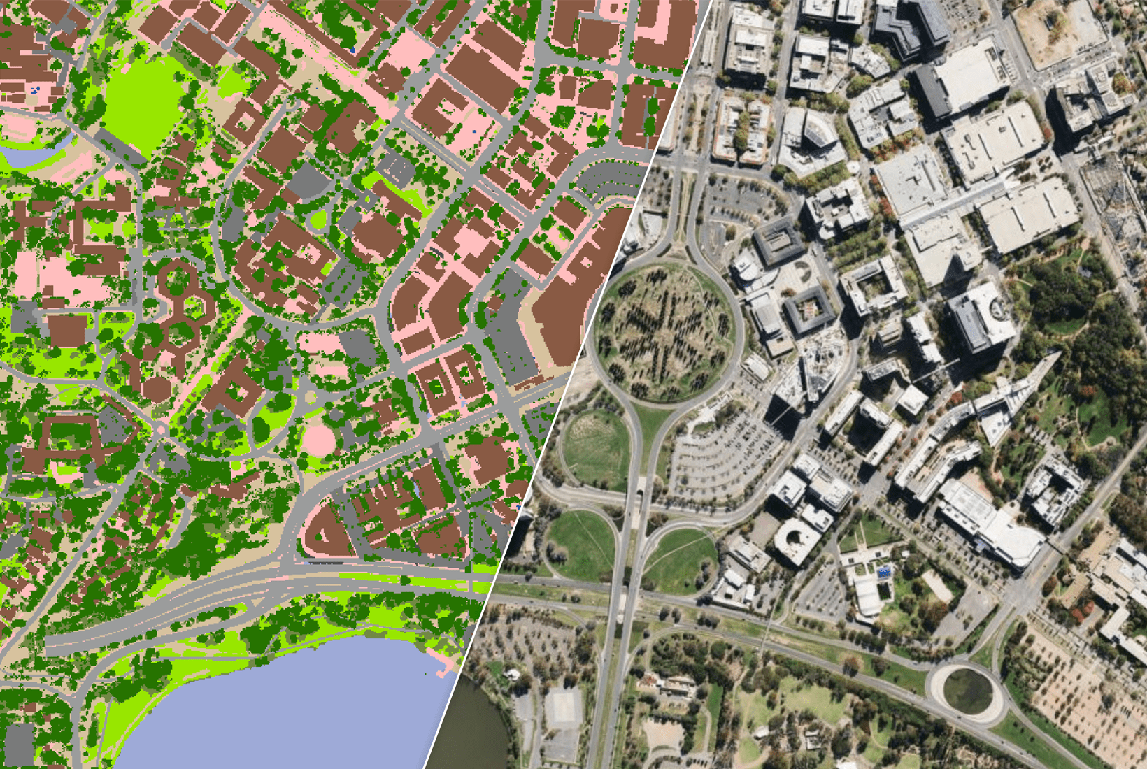
Key features
This solution offers a comprehensive digital view of urban and rural areas, customised to meet your requirements.
Unified national data
Reliable, detailed data on Australia’s urban and rural landscapes.
Proven in key industries
Powering solutions across a range of applications, from emergency response to optimal radio frequency propagation.
Flexible
Tailored data solutions to suit your organisation’s needs.
Ready for use
Easy to integrate and use without needing technical data handling skills.
Real world applications
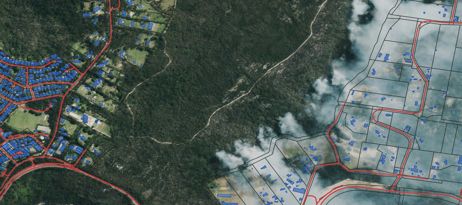
Emergency response
Combined with satellite imagery of natural disaster affected areas, the data in this solution aids in accurate emergency resource deployment, better planning for communities at risk, as well as damage assessments for claims and reparations.
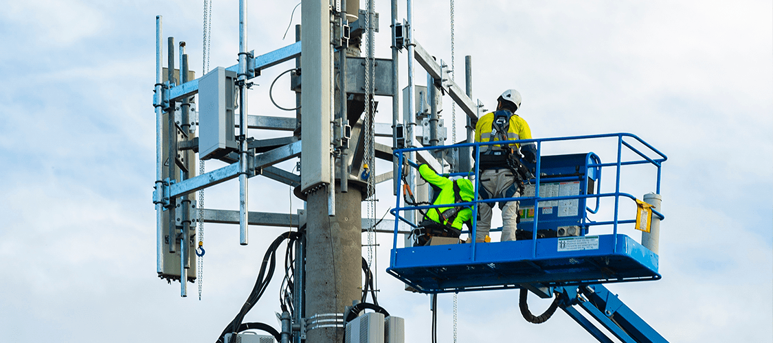
Telco infrastructure
Supports telecommunication companies with precise Radio Frequency propagation models.
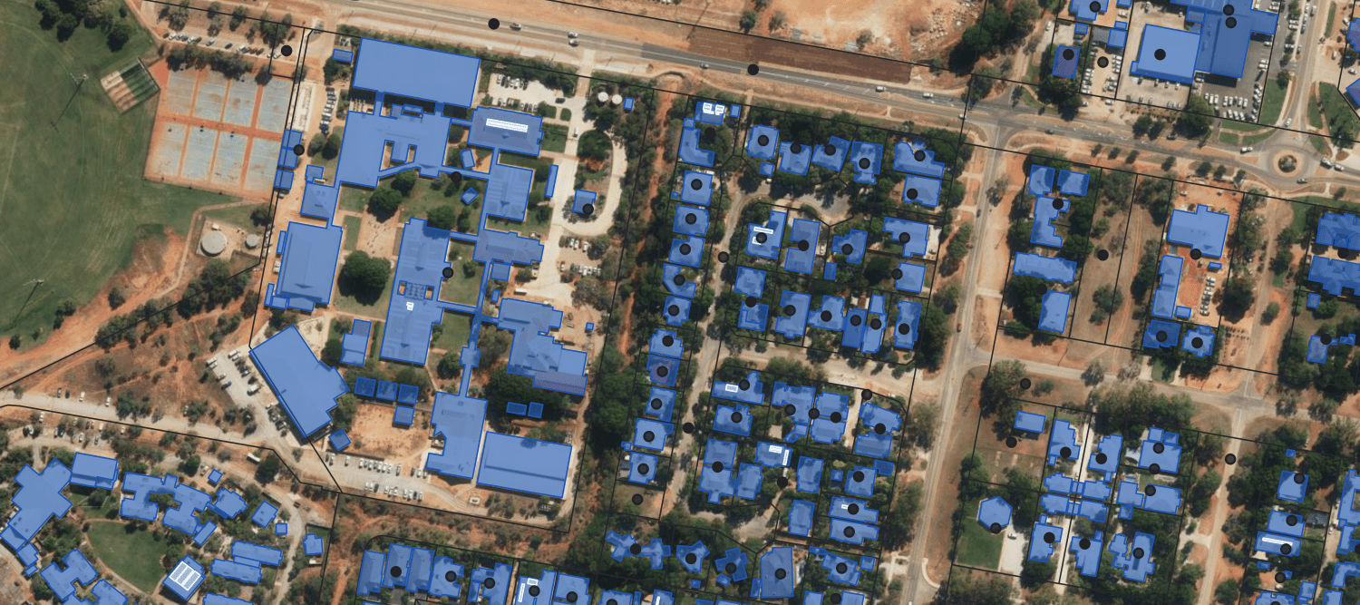
Urban planning
Some images on this webpage were created using aerial imagery © Aerometrex Ltd.
