Our Journey
-
The ‘Public Sector Mapping Agencies’ (PSMA Australia) consortium proposes national digital basemap for the 1996 Census
-
Census is run with unprecedented quality, speed, and cost efficiency
-
Incorporation of PSMA Australia Limited; CadLite Launched
-
Administrative Boundaries dataset released
-
G-NAF released; Transport & Topography released
-
Online data delivery begins
-
Land tenure dataset released
-
National Address Management Framework launched using G-NAF as the standard; G-NAF used to deliver 2011 Census
-
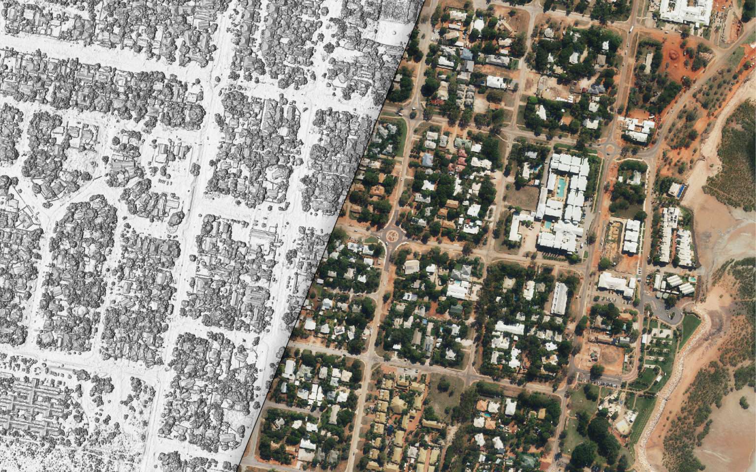
Geoscape buildings project design commenced
-
Open data release of G-NAF and Administrative Boundaries by Commonwealth Government; First release of Geoscape buildings dataset
-
APIs offered in Developer Portal; National coverage of Geoscape buildings achieved
-
Rebrand to Geoscape Australia; Geoscape Data on Demand launched; Continuous data platform automates data processing
-
Dean Capobianco appointed CEO of Geoscape; Product unbundled: CadLite to Cadastre, Property and Planning; Administrative Boundaries into 7 products; Partnered with GeoX to use machine vision and deep learning technology to enhance its 3D digital maps of Australia; Geoscape Buildings 3.0 launched
-
Introduced Geoscape end-to-end Managed Service built upon our Continuous Data Platform (CPD) for customers looking for a customised solution or interested in creating a workflow to use Geoscape’s data within their production environment
-
Expanding and enriching of our data; G-NAF Core released
-
Focusing on flexible, customised solutions to meet our customers’ evolving needs efficiently