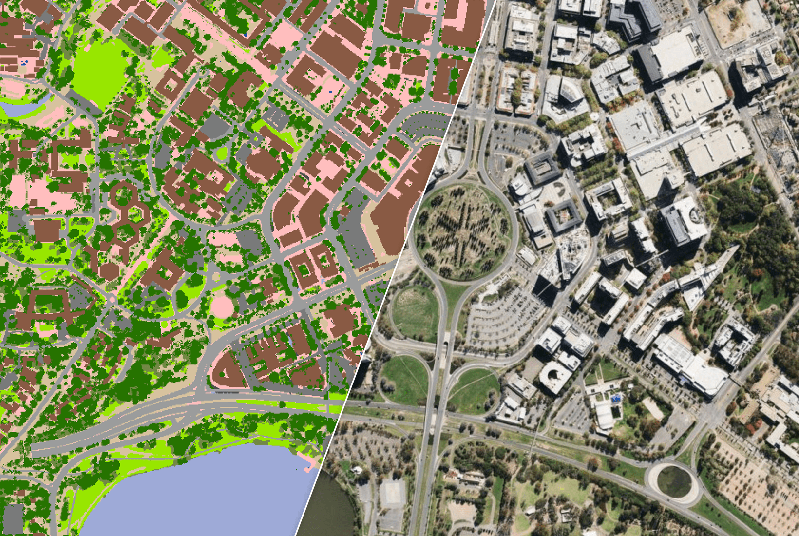
Aon profiles flood hazard at each building nationwide using multiple views of modelled flood hazard, rather than at the address point (typically the parcel centre). This building-specific profiling supports better risk-based decisions, particularly for location-sensitive perils such as flooding or bushfires.
According to Aon, in Australia the use of building-specific profiles rather than address points can reduce national flood exposure by 20% to 30%. This improved understanding of building-specific flood exposure ultimately leads to more competitive insurance practices and likely reduces flood-related components of an insurance premium overall on a nationwide basis.
National Buildings, powered by GeoX Analytics, enables this shift with national coverage, quarterly updates, and consistent linkages to addresses and property boundaries to allow end users to easily match up to any given portfolio of property assets.
Why Aon changed
Risk-based understanding has evolved from postcodes, to parcel centroids and now to individual buildings within each parcel. Use of broad geographic regions to define peril exposure can in some cases be adequate i.e., general storm exposure, but building-specific profiling is required to better understand more site-specific perils.
Specifically –
Flood: the address point (parcel centre) may fall inside a modelled floodplain while the actual building(s) sit on high ground and outside of the floodplain.
Bushfire: on larger properties, bushfire exposure of properties depends greatly on proximity to bushfire-prone vegetation. This distance can vary significantly using the buildings rather than the parcel centroid and therefore can completely change the risk profile at a given address.
“An important benefit to insurers and financial institutions is obtaining data that better describes what’s going on at buildings rather than at the centre of a parcel.” — James Knight, Head of APAC, View of Risk Advisory, Aon.
What changed
Aon began using National Buildings data several years ago when it was clear the product could offer clients insights to drive better risk-based decisions. The data links each building to the correct address and property boundary. There is further value in understanding insight across each individual building on a property, rather than one.
“You have a good understanding of not just where buildings are located on a parcel, but they are also consistently matched to both the address (G-NAF), and wider cadastral parcel… it’s all in quite a nice, consistent package that streamlines things for the end user.” — James Knight.
What users gain from this solution
• Improved location insight for better risk-based decisions around natural hazards
• Building-specific property characteristics that assist in risk acceptance, or overall understanding including building size, height, roof material and shape, or the presence of solar panels
• Geoscape Australia updates the National Buildings dataset quarterly.
Summary
Aon uses National Buildings data to profile flood hazard at each building nationwide using multiple views of modelled flood hazard. This building-specific profiling improves understanding of flood exposure and supports better risk-based decisions for location-sensitive perils such as flooding or bushfires.

