icon  Government

Geoscape and ICEYE Enhance Emergency Response through Satellite Technology

Geoscape Australia’s partnership with ICEYE is improving how Australian emergency services and insurers get real-time data.

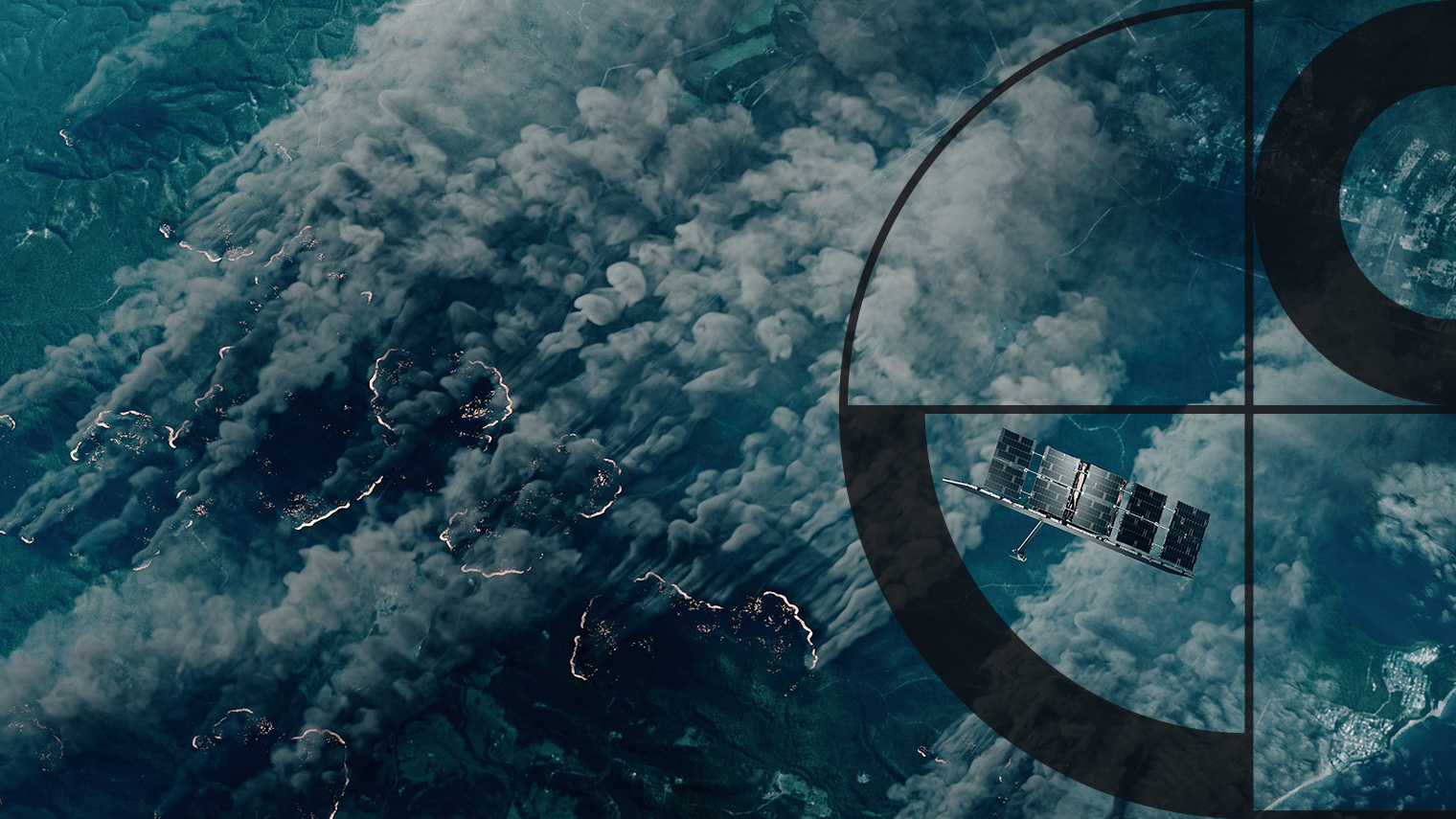
Geoscape Australia’s partnership with Finnish satellite company ICEYE is transforming the way emergency services and insurers across Australia receive near real-time data on the ground.

ICEYE’s Synthetic Aperture Radar (SAR) satellites deliver high-resolution imagery under any conditions—day or night, and even through clouds or smoke. This capability is crucial during disasters when visibility is often limited.

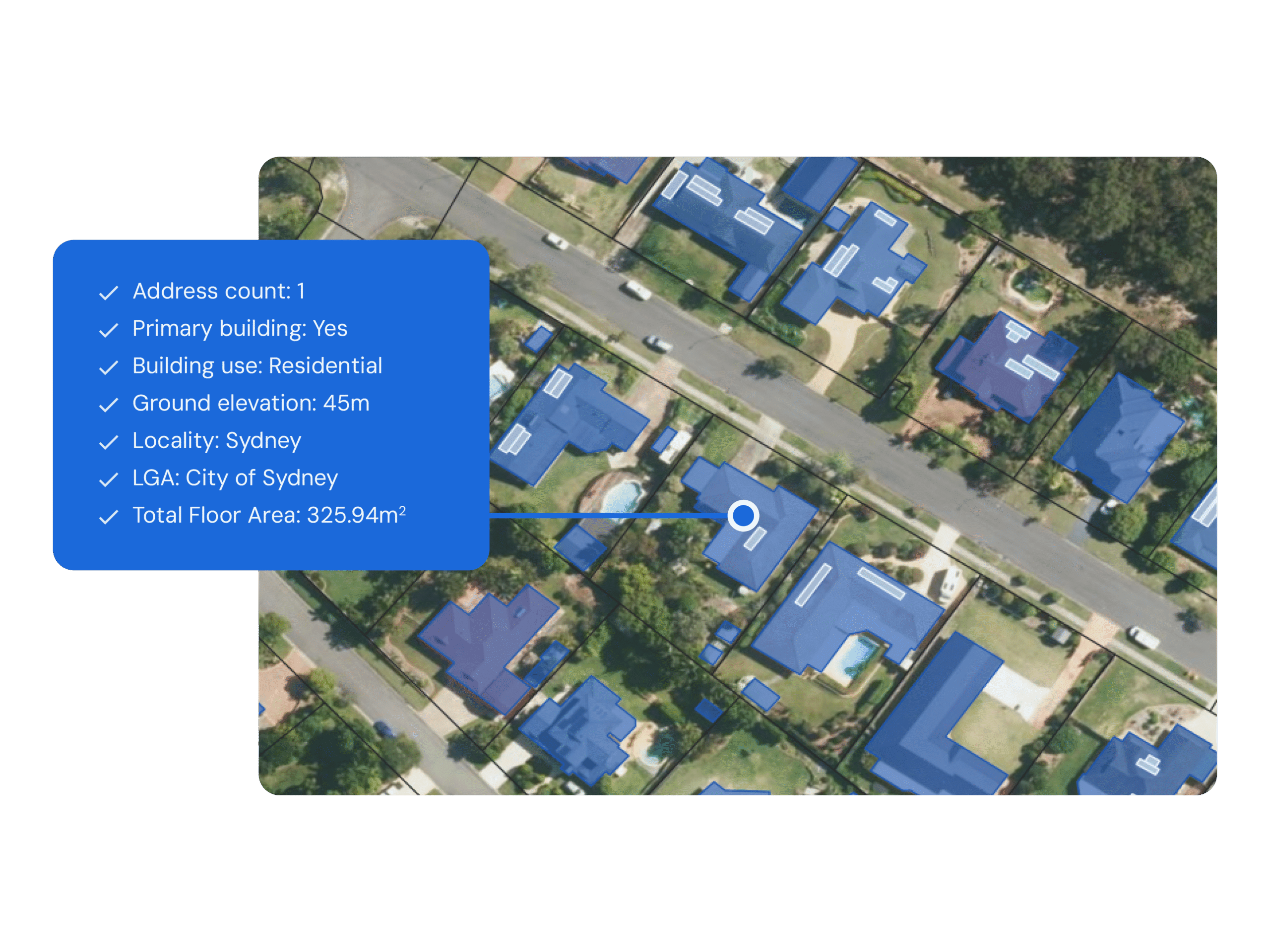
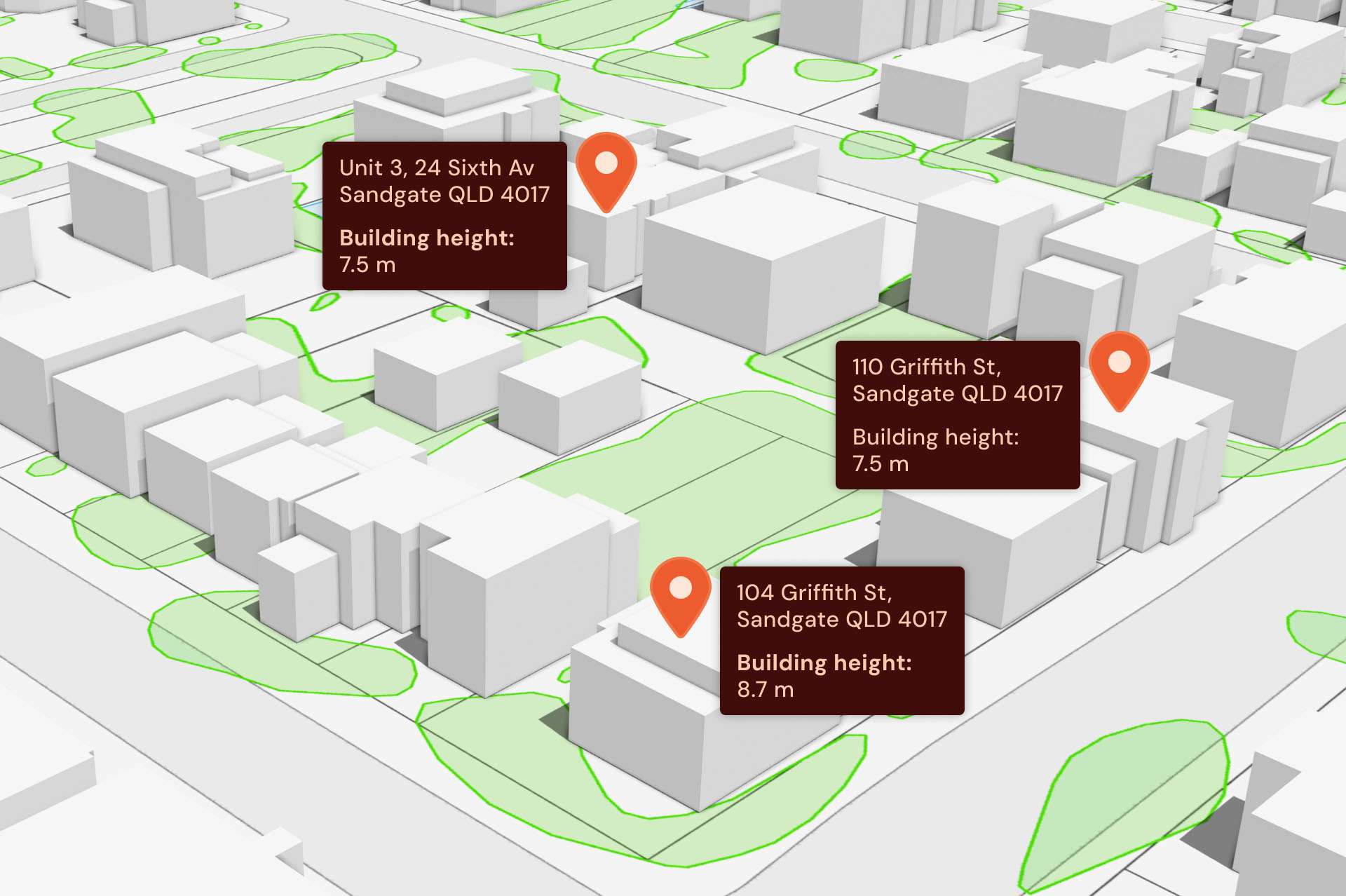
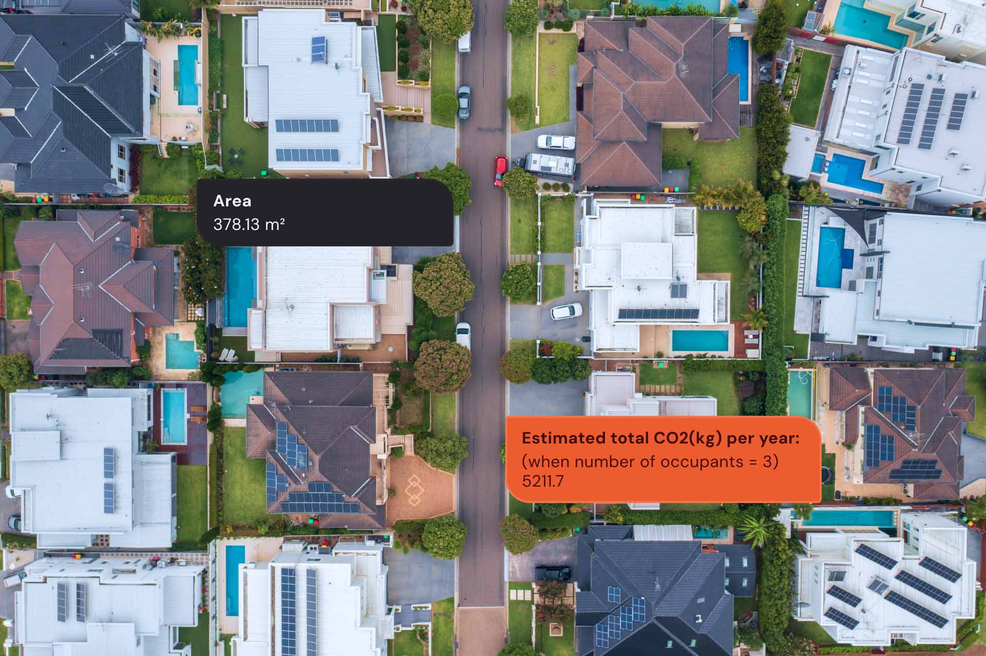
Combined with Geoscape’s location intelligence, which includes building footprints and heights, planning zones, and roof materials, ICEYE insights enhances critical services providing bushfire monitoring and building damage assessments.

image
An illustration of an ICEYE SAR satellite capturing images through the fire and smoke of bushfires. Source: ICEYE.

Australian emergency responders particularly benefit from this partnership, gaining immediate access to detailed visual assessments of damage and projections of potential fire paths.

This allows for more accurate resource allocation and enhanced preparation for communities at risk.

Additionally, this solution enables insurance companies to respond to incidents quickly and accurately, enhancing decision-making and improving customer experience.

Near real-time building damage assessment for bushfire events empower insurers to expedite claims, size losses more accurately, manage risks efficiently, and conduct effective disaster response efforts.

This strategic partnership between Geoscape Australia and ICEYE is enhancing disaster management, facilitating faster and more informed responses that ultimately reduce damage and save lives during emergencies.

Custom solutions

Our expert team can enhance and enrich Geoscape’s datasets to meet your organisation’s needs

Talk to us