 Government
How Location Intelligence Went Mainstream in Australia
From specialist tool to everyday infrastructure – and why the expertise behind it matters more than ever.

Most Australians use location intelligence without knowing it has a name.
A government form that completes your address before you finish typing. An insurance quote that prices flood risk to your building, not your street. Emergency services routed to the right property, not the nearest intersection. That is location intelligence, and it now sits inside far more of everyday Australian life than most people realise.
It used to sit with specialists
For years, spatial data in Australia mostly lived inside GIS teams. They produced maps, answered technical questions, and supported projects across government and industry. The work mattered, but it stayed specialised. Most people never encountered it directly.
Now it sits inside everyday systems
The shift came when trusted national address data became easier to plug into digital services. As Australia’s national address infrastructure matured, developers could integrate it into forms, workflows, and online systems through APIs, giving mainstream services location capability without every organisation needing a dedicated spatial team. G-NAF has underpinned address validation, geocoding, and service delivery across sectors for more than 20 years and remains the foundation much of this runs on.
What that looks like in practice
The 2021 Census was one of the clearest public demonstrations of what national address infrastructure can do at scale. Geoscape’s Address Auto-suggest API supported approximately 700,000 online completions and helped reduce reliance on call centre support.
Before You Dig Australia integrated Geoscape Addresses and Land Parcels APIs into its customer request form and reported a 20 percent reduction in support calls. Better location data made a routine service easier to use.
The precision gains matter too. Aon uses Geoscape’s National Buildings data to profile flood hazard at each building nationwide rather than at the address point. According to Aon, using building-specific profiles instead of address points can reduce national flood exposure by 20 to 30 percent and support better risk-based decisions.


What is changing
As location intelligence moves into more everyday workflows, the need for trusted spatial expertise grows with it.
When location data feeds directly into insurance pricing, emergency services, or infrastructure planning, then data selection, interpretation, and accuracy carry real consequences. Many organisations want the benefits of location intelligence, but do not want to build deep spatial capability from scratch. That is driving more demand for managed services and customised solutions that pair data with spatial expertise.
What organisations want from location intelligence is changing too. It is no longer just about showing what is there and where it is. More organisations are using it to answer business questions: what might happen, what should we do, and where should we act first.
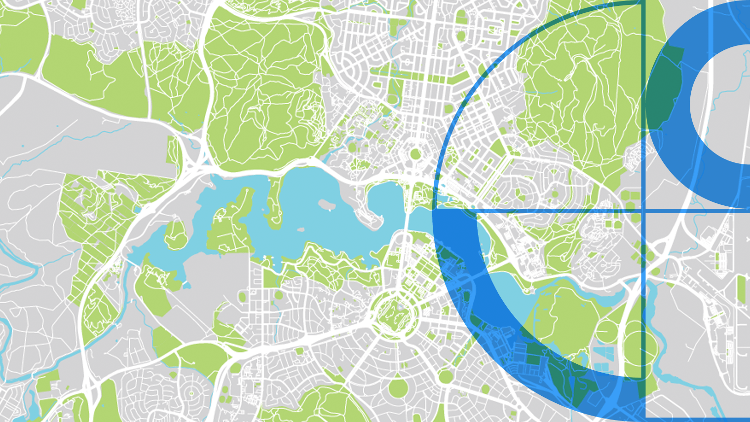
That shift is also driving demand for earth observation. Once organisations start asking what is changing rather than what is there, satellite-derived insights become essential. Land use change, development activity, vegetation cover, climate impacts – these are things you can see from above in ways static datasets cannot capture.
Combined with precise address and building data, earth observation lets organisations track how places are actually changing, not just how they were captured at a point in time.
Why it matters now
Many of Australia’s biggest pressures come down to place: climate risk, housing, infrastructure, emergency response, service delivery. The tools to address those pressures have long existed inside specialist teams. What changed is that they now sit inside the systems ordinary Australians use every day.
That makes the quality of the underlying location data, and the expertise behind it, a public interest question, not just a technical one.
