Key Features

National consistency
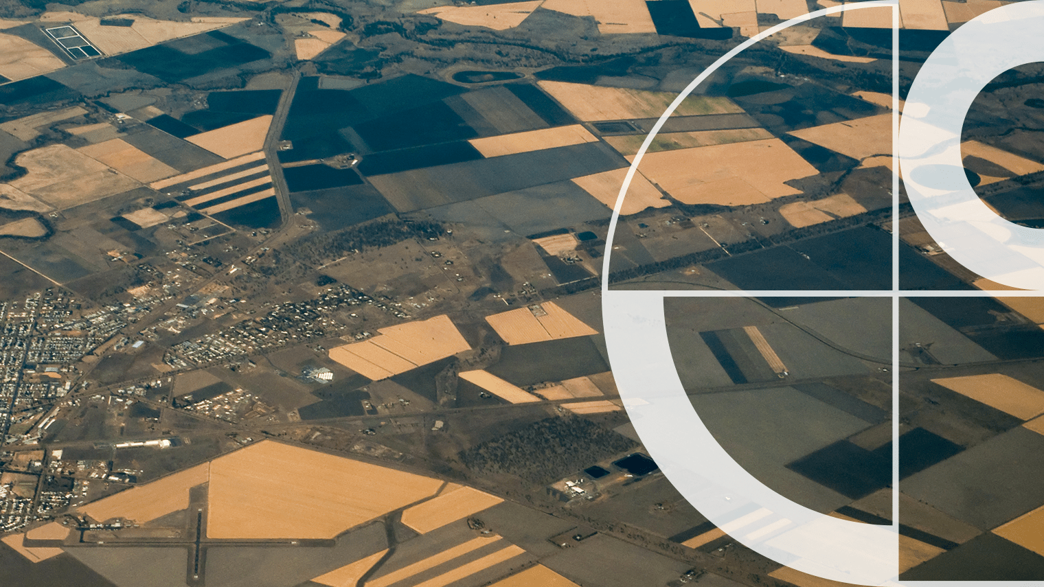
A single, scalable view of land use and cover across every jurisdiction, removing the gaps and inconsistencies of stitched-together state datasets.

Parcel-linked intelligence
Mapped to authoritative cadastral parcels and integrated with G-NAF, enabling property-specific analysis for ESG, risk and operations.

Timely change detection
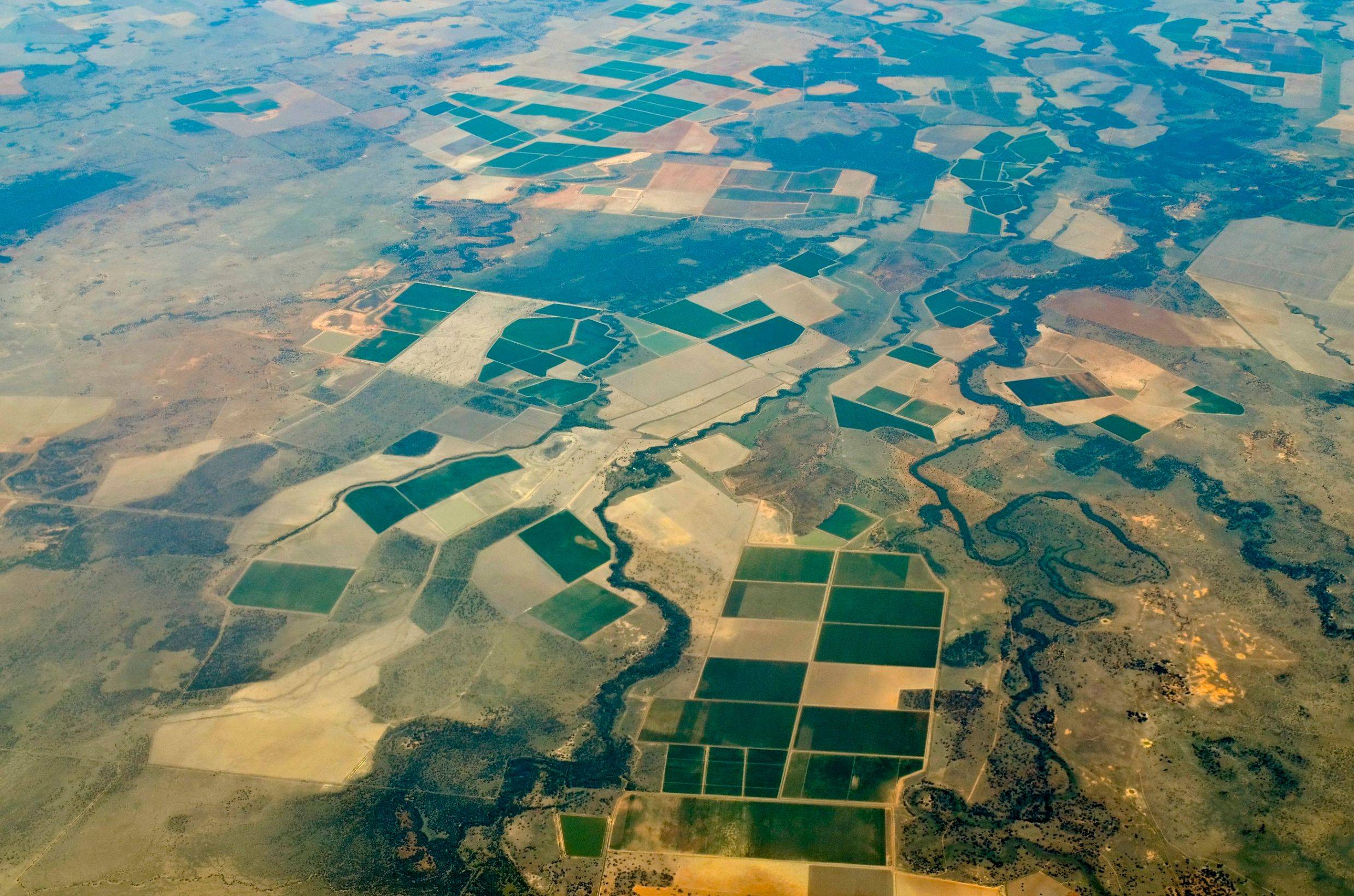
Seasonal crop updates capture sowing and harvest cycles. Annual forest and rangeland updates track longer-term vegetation change.

Built for evidence
Reliable, repeatable inputs for policy, climate reporting, underwriting and portfolio decisions. The kind of data you can stand behind.
How LULC works
What it captures
Land cover (what’s on the ground) and land use (how land is used), classified into nationally consistent categories including crops, forest types, rangeland, pasture and built-up areas.
How it’s built
Derived from 10m resolution Earth observation data across Australia, with seasonal updates for crops and annual updates for forest cover that reflect real-world change.
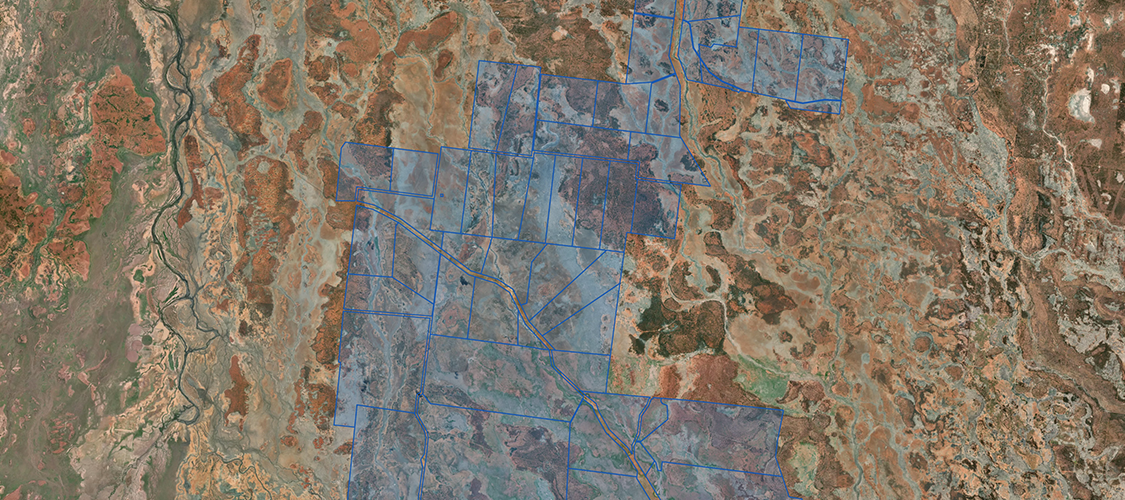
Why it’s precise
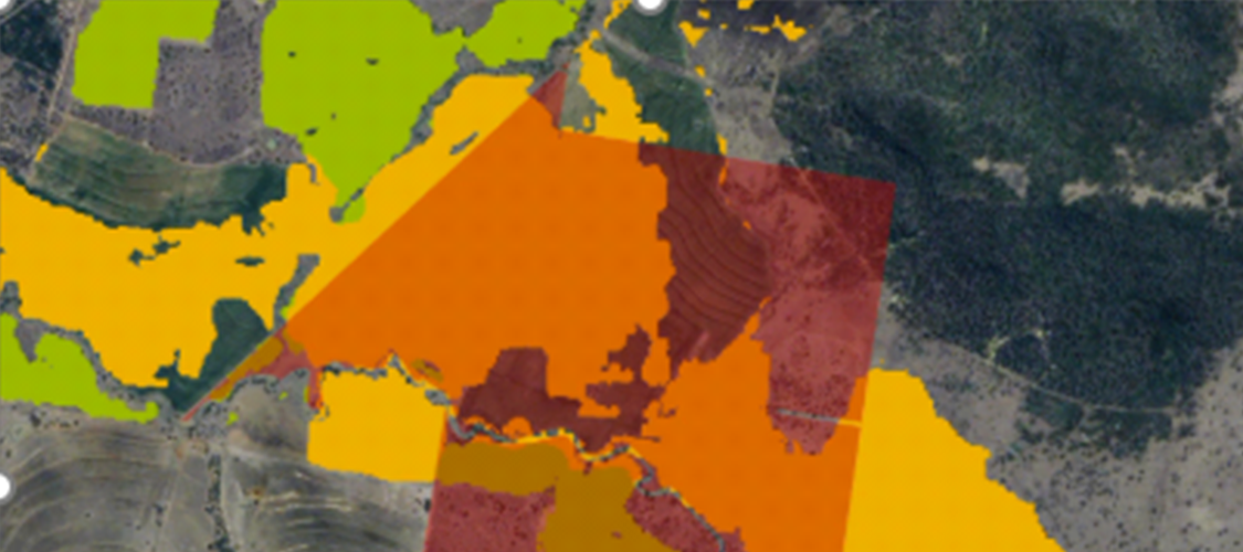
Insights are linked to authoritative cadastral boundaries, ensuring accurate spatial alignment and property-level analysis. No guesswork.
Using National Land Use Land Cover
Financial Services
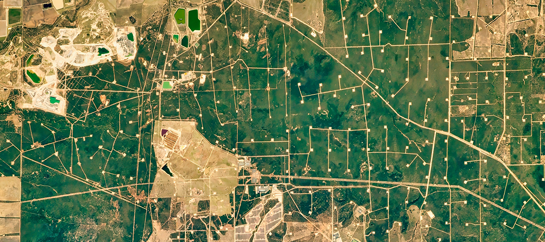
Australian banks hold over $140B in agribusiness exposure. LULC delivers parcel-level insight into crop types, vegetation and land cover change, helping credit, ESG and risk teams assess natural peril exposure and strengthen climate reporting.
Insurance
As the home insurance protection gap widens, insurers need more granular land intelligence. LULC supports more accurate pricing, stronger catastrophe modelling, and faster post-event response across rural and agricultural portfolios.
Government
A nationally consistent, parcel-based evidence base for land management, climate policy, planning and environmental monitoring. Track vegetation change and land use consistently across jurisdictions.
Emergency Services
Identify vegetation density, fuel types and land cover patterns that influence bushfire behaviour and flood exposure. LULC supports preparedness, rapid impact assessment and recovery planning at parcel level.
Impact Stories
See how parcel-level land intelligence is tracking Australia’s crops, forests and vegetation change season by season.