Government
 Retail and E-Commerce
 Financial Services
 Insurance
 Telco
Telco
 Real Estate
 Utilities
 Utilities
Renmark SA, a river town with a real flood challenge
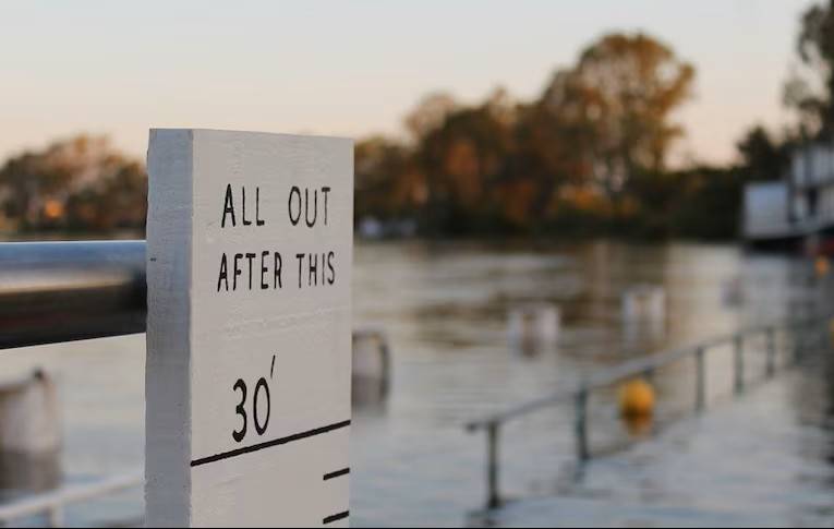
Renmark is a Riverland town shaped by the River Murray, a river that supports local industry, agriculture, tourism and community life. But during high-flow events, the same river can quickly become a significant flood threat.
For councils, emergency services, utilities, insurers and infrastructure providers, the challenge is knowing which buildings are likely to be affected and how severe the impact could be. In Renmark, that challenge is made more complex by its levee, the artificial bank built to hold the river back, and the low-lying land behind it, where flood exposure can escalate quickly once that protection is exceeded.
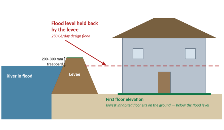
Geoscape combines modelled flood extents from SA DEW (South Australia’s Department for Environment and Water) with Geoscape building footprints and First Floor Elevation data (how high each building’s lowest floor sits above the ground) across the 2,859 Renmark buildings analysed, to provide a more practical view of flood impact. Instead of only showing where water may travel, the analysis identifies which buildings are exposed and whether floodwater is likely to reach above floor level.
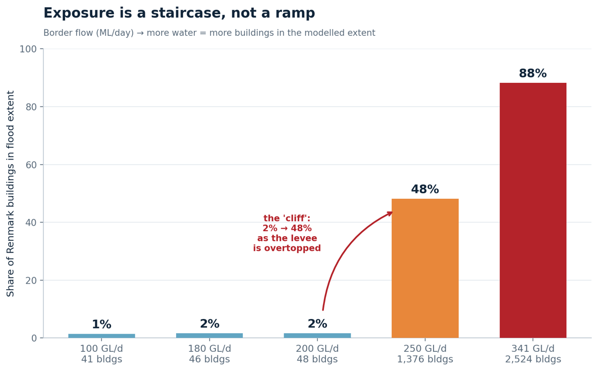
River flow is measured in gigalitres a day (GL/day). The levee keeps about 98% of Renmark dry up to 200 GL/day. But near its design flood, the flow it’s built to hold back, the picture changes fast.
With this level of insight, organisations can prioritise the places most likely to be affected, plan support where it is needed first, assess exposed assets and communicate risk with greater confidence.