Government
 Retail and E-Commerce
 Financial Services
 Insurance
 Telco
Telco
 Real Estate
 Utilities
 Utilities
Understand what surrounds critical energy assets
Bring together asset locations, buildings, land parcels, terrain and land cover data to build a clearer view of exposure, consequence and recovery planning.

Energy infrastructure is exposed to increasingly complex risk
Energy providers are operating in an environment where physical climate risk, ageing infrastructure, changing land use and growing community expectations are all converging.
Transmission corridors, substations, generation assets and supporting infrastructure may be exposed to bushfire, flood, vegetation, access and recovery challenges.
Yet the data needed to assess this risk can often sit across disconnected systems, making it difficult to understand what surrounds critical assets, which communities could be affected and where resilience planning should be prioritised.
Location intelligence connects assets to their real-world context
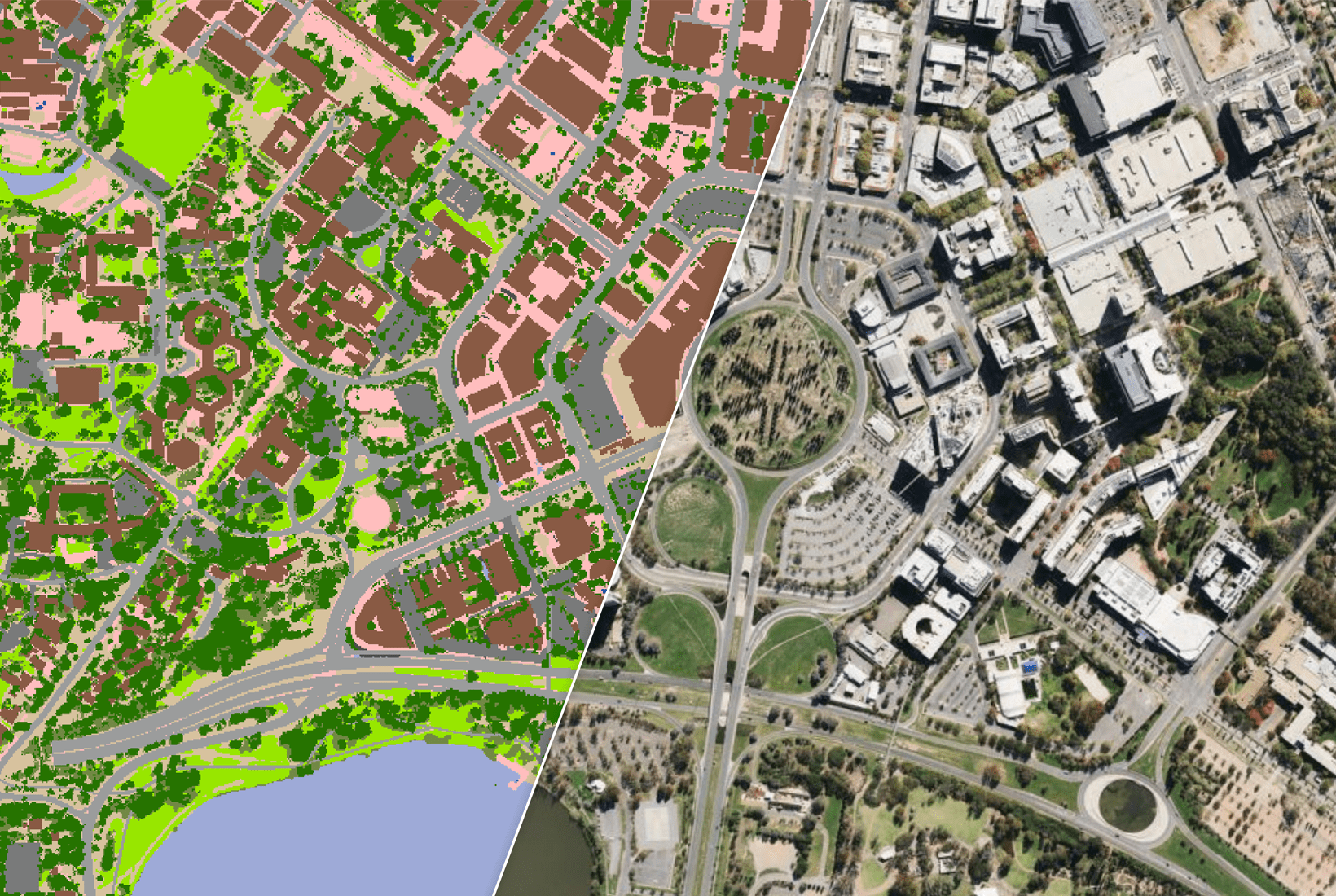
Geoscape helps energy providers build a clearer picture of asset exposure by connecting infrastructure locations with nationally consistent data on buildings, properties, land parcels, terrain and land cover. This provides a more reliable view of what is nearby, how the surrounding environment may influence risk and which locations may require closer engineering, environmental or emergency planning assessment.
With improved asset context, teams can
Analyse exposure
Strengthen exposure analysis across critical energy assets and their surrounding environment.
Prioritise locations
Identify high-consequence locations where closer engineering, resilience or emergency planning assessment may be needed.
Plan for vegetation
Support vegetation management and environmental planning with clearer location context.
Prepare for disruption
Improve access and recovery strategies before disruption occurs.
This helps energy providers move from reactive risk management to more proactive, evidence-based infrastructure resilience planning.
Ready to see your assets in context?
Talk to one of our data experts about how Geoscape can help you better understand exposure, surrounding risk and recovery considerations.