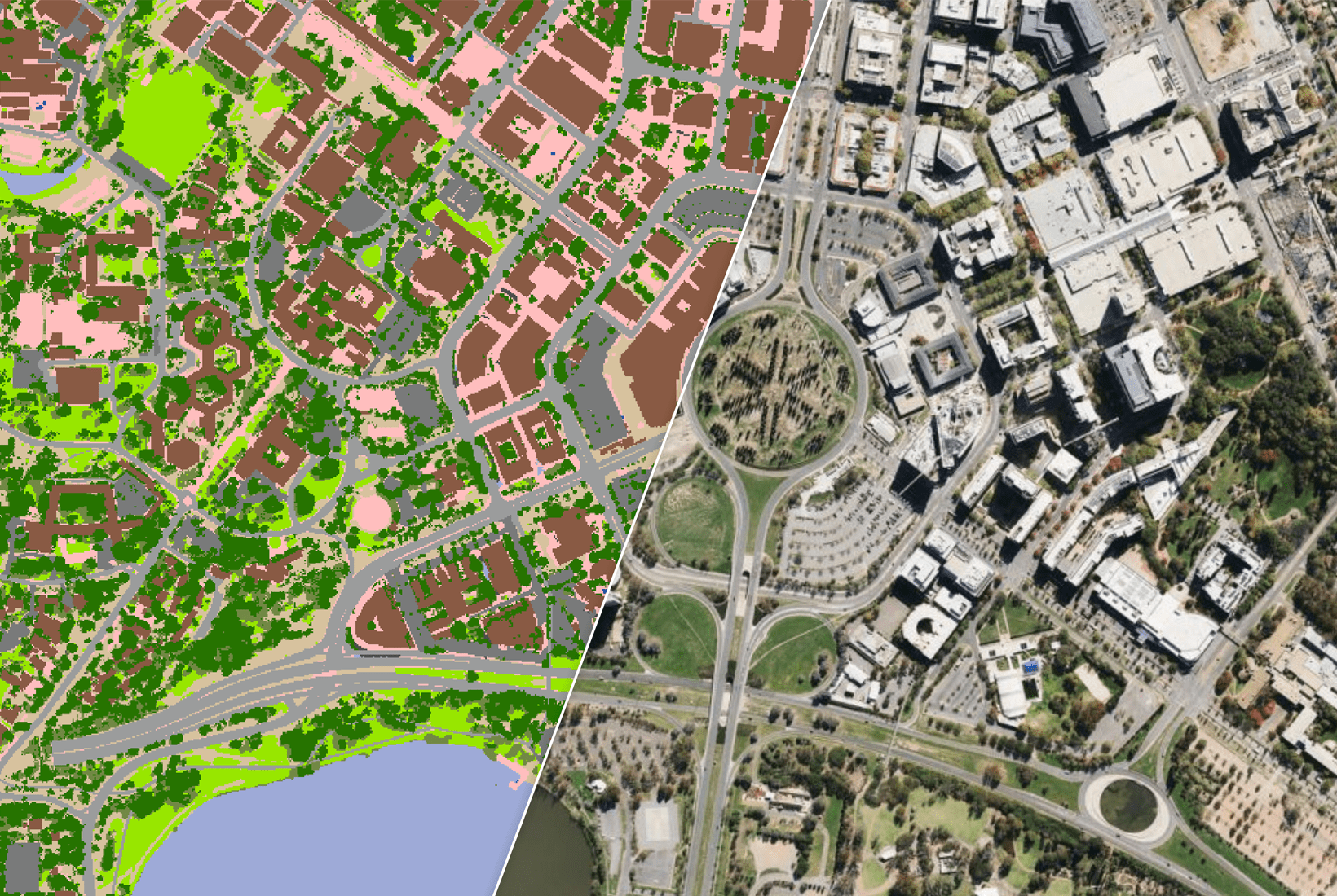
Government
 Retail and E-Commerce
 Financial Services
 Insurance
 Telco
Telco
 Real Estate
 Utilities
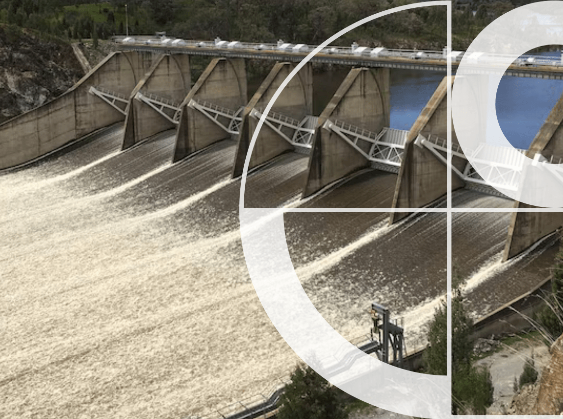
See beyond the flood extent
Combine flood and dam-break modelling outputs with authoritative building, property and elevation data.
Understand real consequences
Identify which structures are likely to experience floodwater entering occupied living and working spaces.
Plan downstream with confidence
Move beyond a simple “buildings affected” count to a far more accurate understanding of vulnerability.
Turning hazard data into community impact intelligence
Built for water service providers managing dams, levees and critical water infrastructure, without a major data-engineering project.
Model
Start from your existing dam-break or flood modelling outputs.
Enrich
Add authoritative building, property and First Floor Elevation data.
Assess
Identify which buildings are exposed, and which are truly vulnerable.
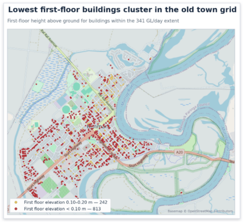
Renmark, Murray Basin: consequence intelligence in action
Under normal operating conditions, the levee system protects the township from flooding. Here’s how consequence intelligence changes the way water authorities assess risk as flows rise.
The community remains dry — the levee system holds under normal operating conditions.
Flows begin to exceed the level of protection provided by the levee — the first indication of potential downstream consequences.
But simply counting buildings within the flood extent doesn’t show the true impact. Understanding exposure is important — understanding vulnerability is essential. By incorporating First Floor Elevation data and other building insights, water authorities can identify which structures are likely to experience floodwater entering occupied spaces.
Ready to see what’s really at risk?
Flood models show where water may go. Consequence intelligence shows who and what could be affected. Talk to us today to explore how Geoscape can help your team connect flood modelling with property-level insight, so you can plan with confidence.