 Government
 Retail and E-Commerce
 Financial Services
 Insurance
 Telco
Telco
 Real Estate
 Utilities

Free
$0
$0 / monthly
For testing and evaluation
- Credits: 20,000 one-time
- Overage: not available
- Payment: none required

Access national buildings, addresses and land parcels context for your project area.
Include Planning Insights overlays to identify development constraints, opportunities and planning considerations before detailed analysis begins.
Purchase the data required for a specific project, without enterprise subscriptions.
Draw or upload the project area you are assessing.
Choose Planning Insights, National Land Parcels, Buildings 4.0 and any other relevant datasets.
Review the quote before purchasing and downloading the Clip.
Use Planning Insights to identify zoning, overlays and planning considerations that may influence development outcomes.
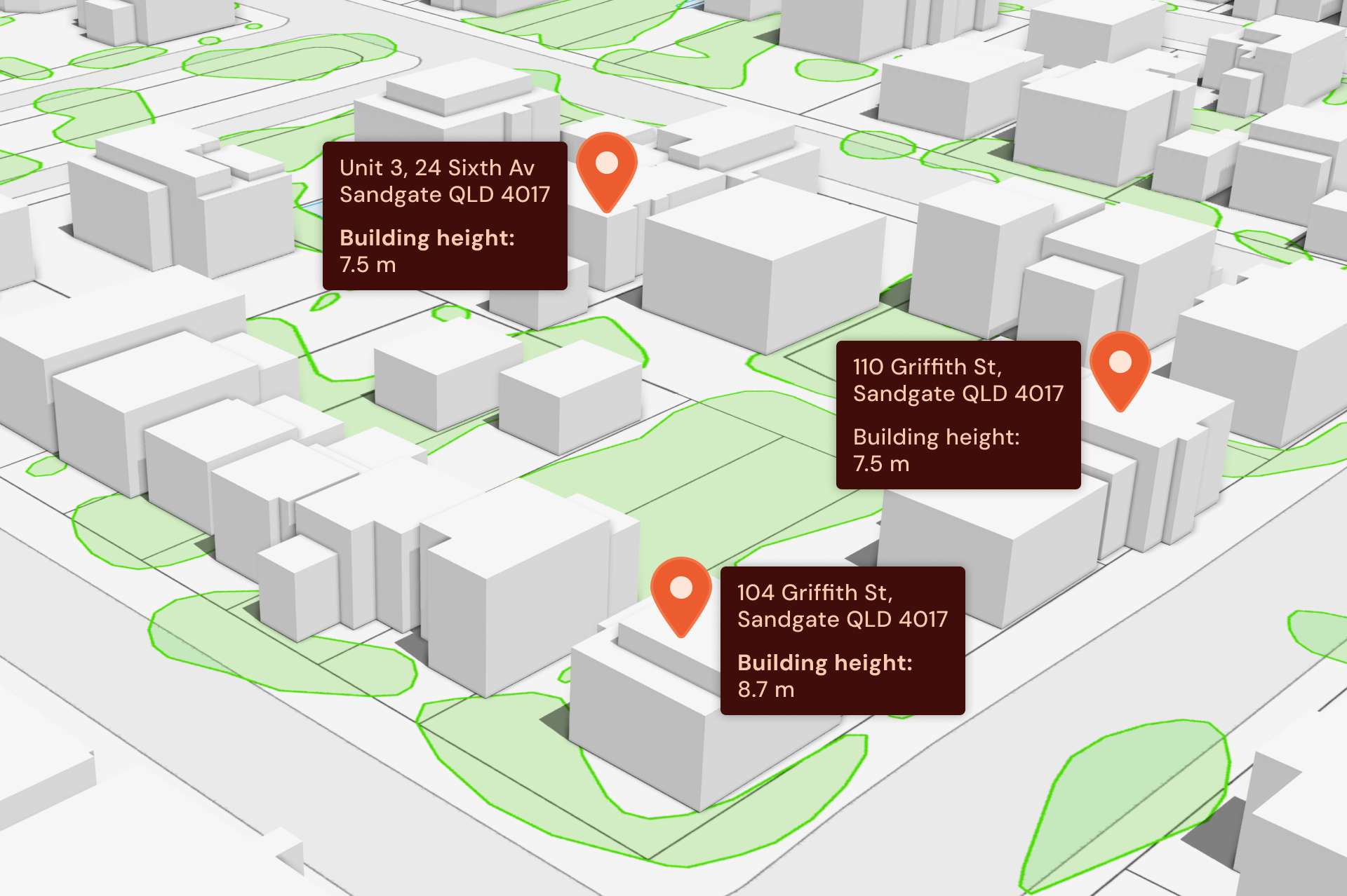
Access building footprints, heights, addresses and property context, including primary-building indicators and solar attributes, to build a richer understanding of the existing built environment.
Download data in industry-standard formats and use it within GIS, CAD, BIM and 3D modelling tools to support visualisation, shadow, sunlight, density, sightline and view-corridor analysis.





Start on the free plan, then move to a paid plan when the volume of work requires it.
For testing and evaluation
For small teams and access to premium data
For growing businesses
For large organisations
Credits are consumed based on the datasets you select and the number of features inside your project boundary. Clip shows a quote before purchase, so you can see what the selection will cost before committing.
| Dataset | Credits per feature |
|---|---|
| Built Environment (all premium) | |
| National Buildings | 8 |
| National Buildings – Roof | 2 |
| National Buildings – Height | 2 |
| National Buildings – Solar | 4 |
| Address – Pool | 4 |
| National Solar – Address | 4 |
| National Solar – Building | 4 |
| National Solar | 8 |
| Land Parcels (all premium) | |
| National Cadastre | 8 |
| National Property | 8 |
| National Planning | 2 |
| National Planning Insights | 10 |
| Address (G-NAF Core) | |
| Active Addresses | 2 |
| Retired Addresses | 2 |
| Roads and boundaries | |
| National Roads | 2 |
| Statistical Boundaries | 2 |
| Administrative Boundaries | 2 |
The free plan includes 20,000 one-time credits and does not require a card.