Land
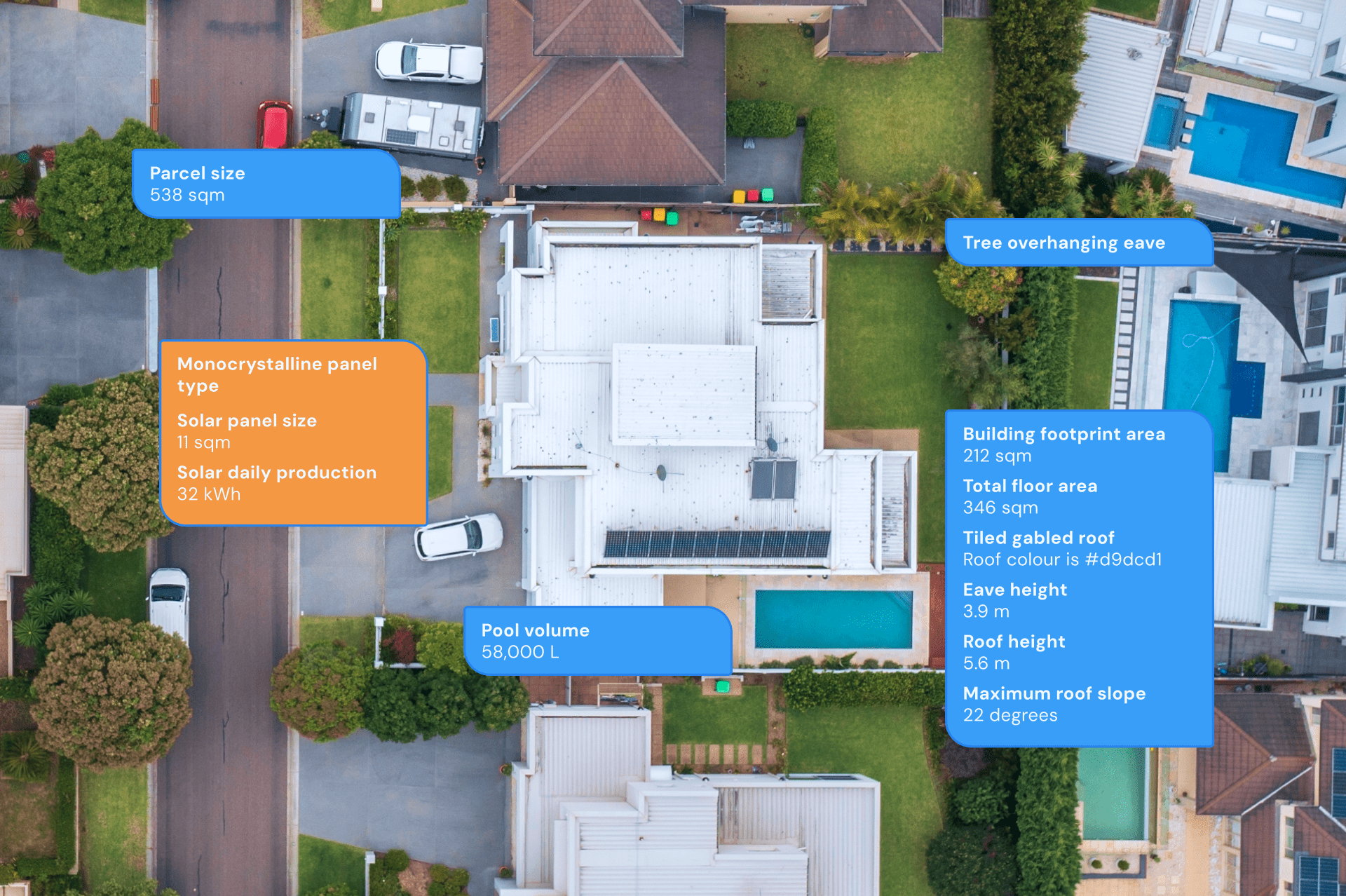
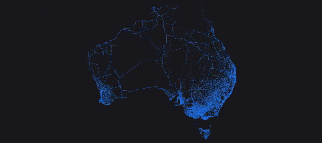
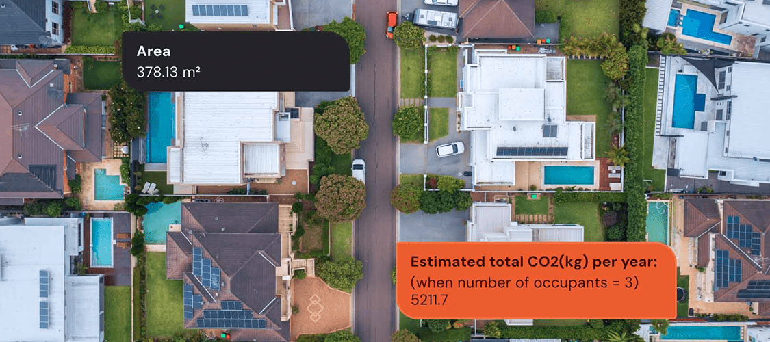
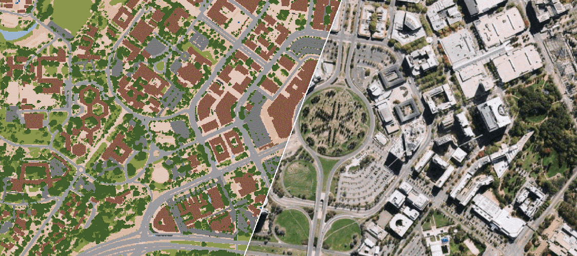
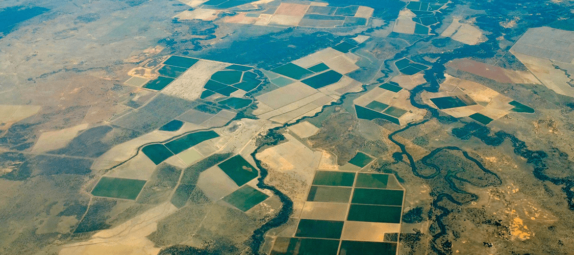
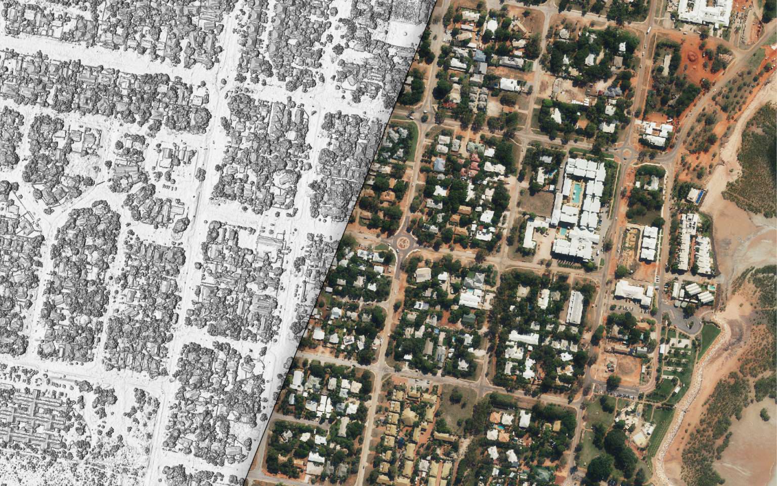
We help you understand how land is used and connected. See property boundaries alongside surface cover, roads, infrastructure, and access. This context supports better planning, risk assessment, and decisions across property, insurance, and government use cases.

 Government
 Retail and E-Commerce
 Financial Services
 Insurance
 Telco
Telco
 Real Estate
 Utilities