Our Impact
Geoscape’s real world success stories
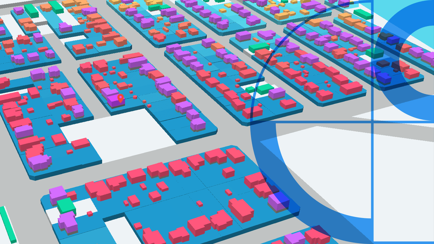


Our Industries
Access sophisticated location intelligence solutions across various industries


Trusted by


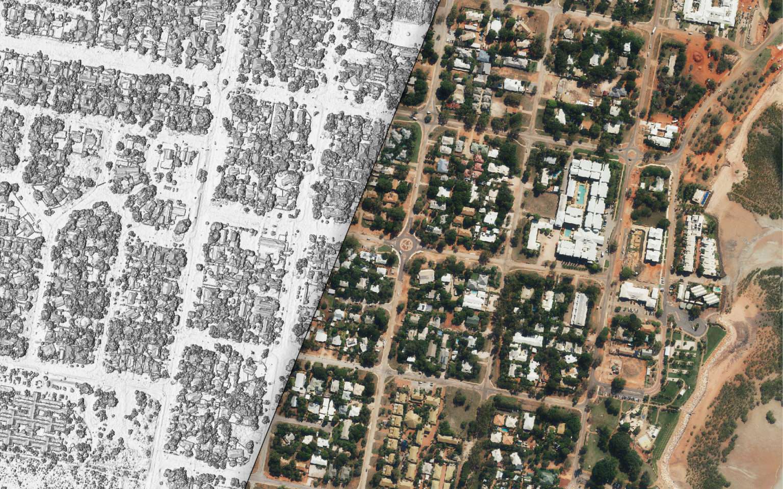
Our data in numbers

19M+
Buildings

16M+
Addresses

18M+
Land Parcels

2.4M+
Swimming Pools

2.3M+
Kilometers of Roads

2.8M+
Solar Panels