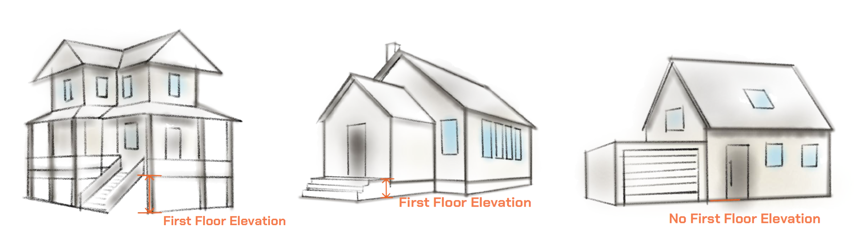
Utilising AI methodologies to analyse terrestrial captured imagery, offering scalable measures on the height above ground of a property’s first habitable floor:
- Enhance risk assessment modelling
- Elevate underwriting process and insurance pricing accuracy
- Make better informed decisions about property investments and mortgage lending
- Data-driven solutions to help your community be more resilient