Support complex business system and workflows
When it comes to location intelligence, it’s not only about bringing accurate, reliable and sophisticated data to life, but also ensuring the data integrates into and supports more complex business systems and workflows. It’s about ensuring the right data is available in the right format at the right time.
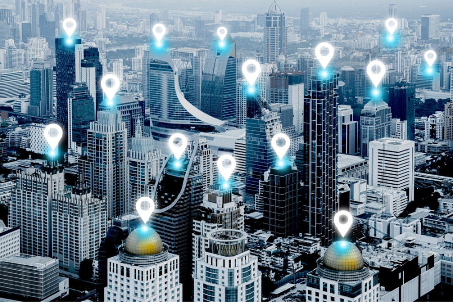
We can help you in your journey to build tools that combine the location dataset with insights such as aerial mapping technology or environmental information to bring forth meaningful patterns and more.
Using our location data system integrators can:
– help customers discover insights,
– make informed decisions with location intelligence
– drive relevant change, and
– support customers at any point in their geospatial journey.
Location intelligence for System Integrators

Scale, reduce time and configure tools
Location intelligence with continuously updated data allows the modern-day organisation to scale, configure the tools needed while reducing the time it takes. Our partners like Archistar, Finity, REA and OneMap use location data to do exactly that. They have been using location intelligence to create solutions that benefit their clients. For example, Finity’s proprietary risk scores deep-dive into crucial information about an address and its surrounding hazards.

Enabling better customer experiences
You can enhance customer experience and engagement by offering them personalised services and location data makes it possible.
Location-specific information can be used to create better interactions with customers and provide them with personalised offers.

Trend mapping and visualisation
When location data is combined with real-time trend mapping and simple visualisation, it provides an understanding of how consumers move around helping retail chains respond to customer needs by tailoring their services. Similarly, when used by platforms like Uber, users see where their drivers are in real-time.
Additionally, real-time insights and analytics help organizations gain the business intelligence they need for digital transformation.
How are partners use our data

Equifax
Geoscape data flows throughout Equifax products which include self-serve batch and API solutions, campaign management and analysis services and customised consulting projects with in-depth custom segmentation, modelling and brand tracking.

Precisely
Precisely uses high-quality Geoscape data inputs to develop or enhance industry-ready products. Precisely simplifies data models, adds and blends additional rich information, provides additional linkages to other datasets and incorporates modelled information to increase completeness. Precisely data products are plug-and-play ready and deliver increased value out of the box for many industry uses.

MetroMap
Using Geoscape, MetroMap provides access to data insights linked to Australia-wide buildings & property cadastres.
The Geoscape Buildings & Cadastre layers within MetroMap offer insightful details linked to property features such as solar panels, pools, roofs, and other property planning information.
Build solutions using location intelligence
Census
Geoscape provided a service that could scale at a moment’s notice, with security safeguards in place in the case of a potential distributed denial of service (DDoS) event. 1.9 million self-service transactions were completed using Geoscape Address Auto Complete and Validation capability.
Covid Border Pass
Geoscape provided nationally consistent location data in the form of ready-to-use APIs for
the creation of the COVID-19 Border Pass. This a testimony to how location-based API can help create a scalable solution for the national good. The border pass was built off the common national address source, not individual copies of the data and was supported by scalable APIs.
ost accurate and up-to-date address data, add address autocomplete to your forms and access ready-to-use buildings data.
NSW Point
Real-time location data provides invaluable information for Australian communities, especially before and during emergencies such as flood or fire prevention, response and recovery. By deriving data visualisation to assess the impact of flood or bushfire at a particular location, the response agency can plan better.
Geoscape Products
Geoscape Data Products
Our products such as Geoscape Buildings, Addresses and Land Parcels provide a digital representation across Australia’s 7.6 million km2.
Geoscape Delivery Services and APIs
Ensure you have the most accurate and up-to-date address data, add address autocomplete to your forms and access ready-to-use buildings data.
Geoscape Custom Data Solution
Get the flexibility to access specific, reliable and valuable location data tailored to your needs. You can access the spatial data you need, when you need it.