Addresses
Get every address in Australia from the trusted source. Continually updated. Consistently formatted.
Addressing is a cultural thing. It’s a part of human communication.
An address is a label for a location. Governments gazette names for suburbs and roads, but people adopt unofficial addresses too. Vanity addressing and local naming occurs when one address label is preferred over another.
The lifecycle of an address is complex. They’re constantly created, updated and retired. And address formats vary among the collectors and custodians of addresses.
For comprehensive and up-to-date Australian address data, rely on a trusted source. We’ve provided that since 2004.
What data is available?
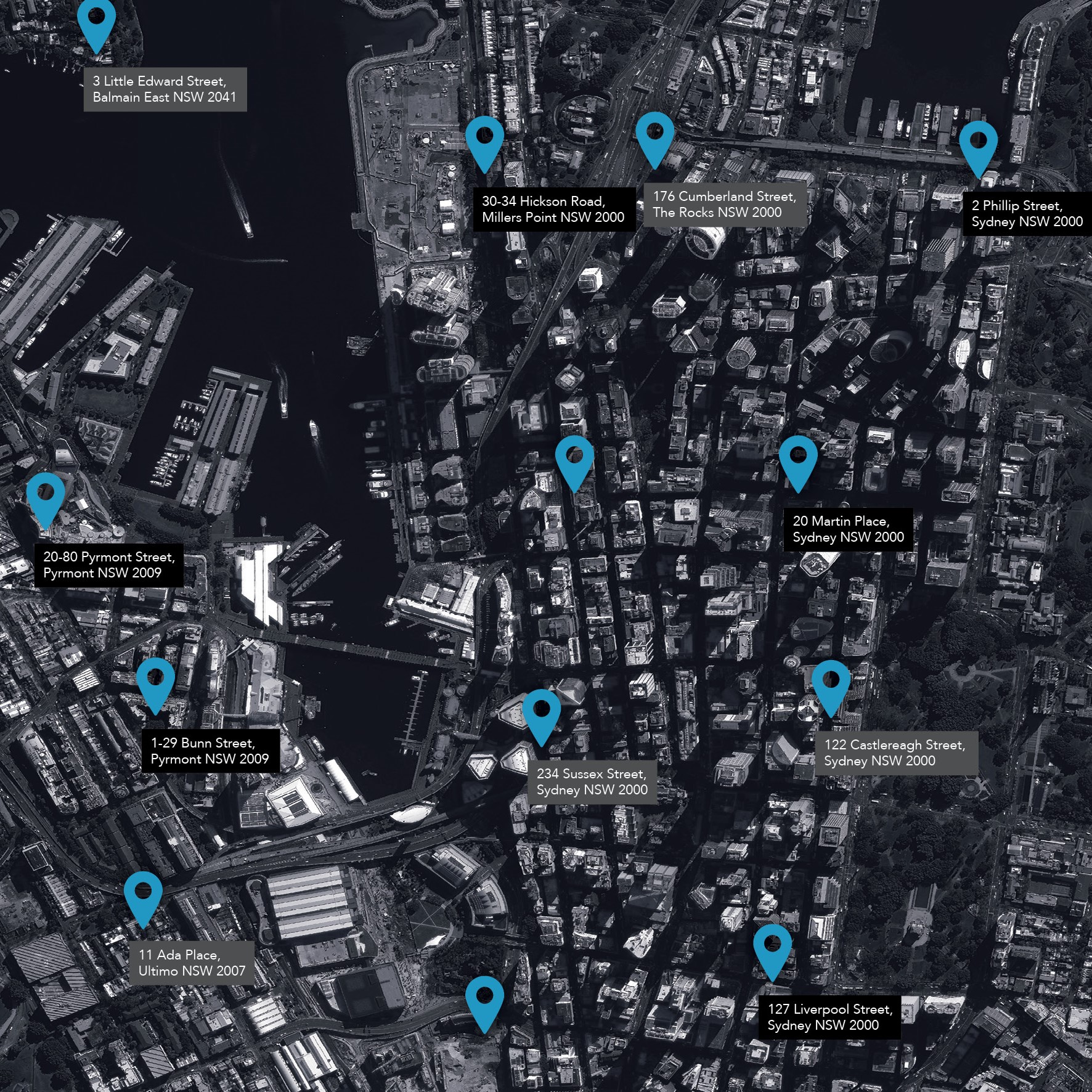
Every street address across Australia is available. You’re not limited by state and territory boundaries. And they’re consistently formatted.
Geocoded National Address File (G-NAF)
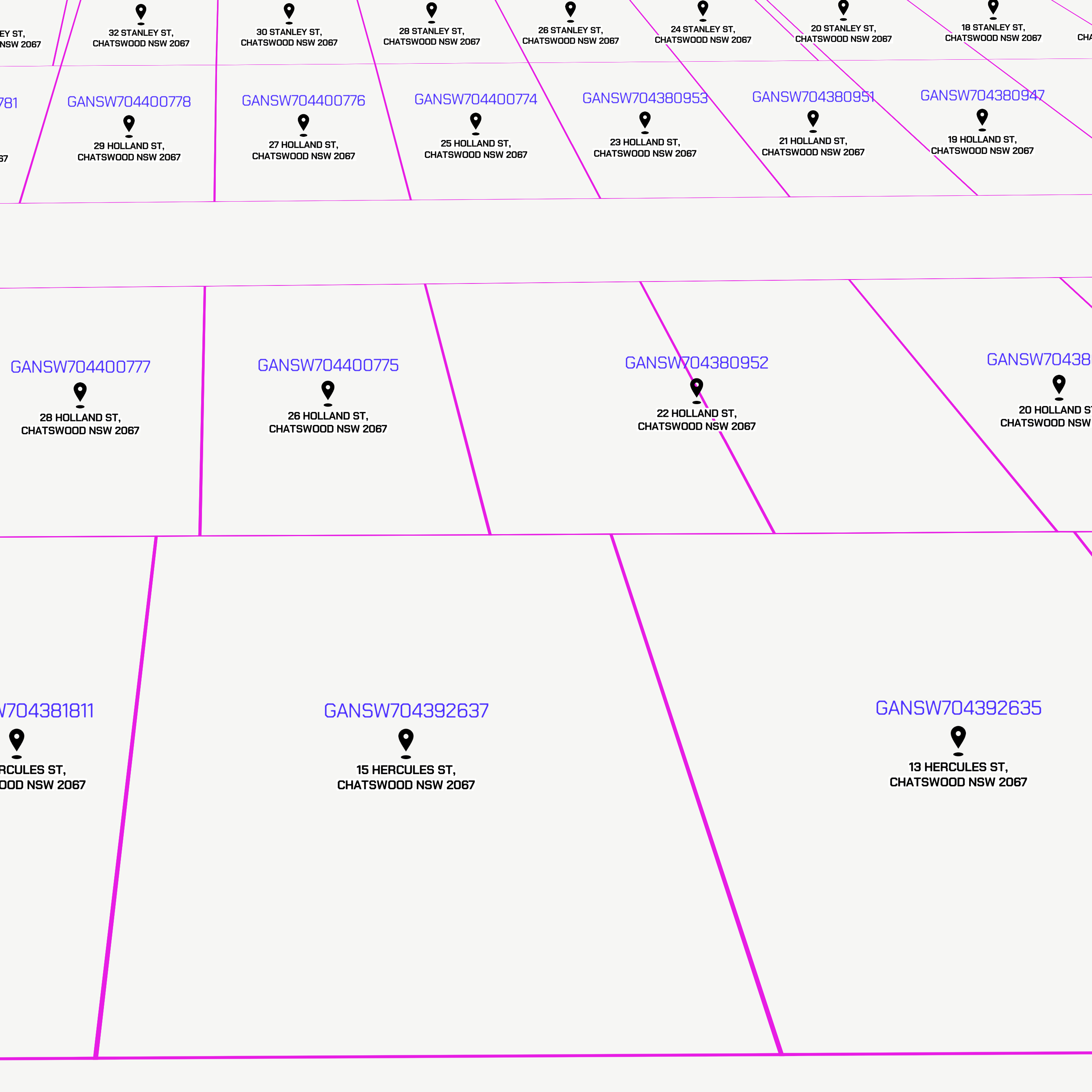
G-NAF is the trusted index of Australian address data. It contains the state, suburb, street, number and latitude and longitude for all street addresses in Australia. Over 30 million addresses supplied by 10 contributors, including the land agencies in each state and territory, are distilled into more than 14 million G-NAF addresses.
A location can be known by multiple address labels. G-NAF identifies these relationships and links the addresses people use with official addresses created by governments. It also adds a mesh block ID to each address. A mesh block is the smallest geographic region used by the Australian Bureau of Statistics.
G-NAF is produced quarterly. It’s available under open data terms from data.gov.au.
Deltas API (Beta)
The Deltas API delivers a deltaset of changes to Australian address data for a time period you specify. It includes a summary of the types of changes to an address. The source data is updated daily for many states giving you quick access to the freshest address data available.
While the API is in beta, it’s a great option for non-commercial use, fast prototyping and experimentation.
Data on Demand
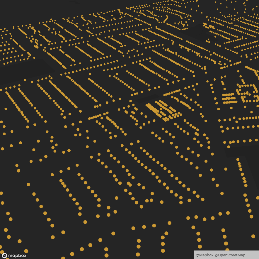
When you self-select and download data on buildings across Australia, you can choose to include the primary address for each and every building. These addresses are continuously updated.
We also draw on our address data experience to offer address verification, address geocoding and address data enrichment services.
How can I get address data?
We’ll find the best way to connect address data to your project or business process. It’s available on demand, via API, as a full dataset or via a custom solution.
Data on Demand
- Self-select and download just
what you need. - Formats:
- ESRI Shapefile (*.shp)
API Beta Program
- Create an account and experiment for free while it’s in beta.
- Formats:
- JSON
Full Dataset
- Download for free at data.gov.au, when you just need it all.
- Formats:
- Pipe Separated Value (*.psv)
How is address data compiled?
Supply agreements with Australia’s state and territory governments ensure our address data is fresh and from authoritative sources. It’s obtained as follows:
- Daily from the ACT, NSW, WA, Qld and NT
- Weekly from SA, Tas and Vic.
We aggregate, standardise and validate the source data to deliver addresses for the whole of Australia that are consistently formatted.
No personal information or details relating to an individual or business are included in the data.
How can you use address data?
Successful organisations rely on accurate data. And address data is often the most important.
Research and analysis
Combine Australia-wide address data with demographic, economic, social or environmental data to build area profiles and analyse trends. Analysis that includes location is important for informing policy development and business decisions.
Urban planning
Stakeholder engagement is integral to planning new developments. Download the primary addresses of buildings in your project area to begin community consultation and mitigate impacts of your development on surrounding residents and businesses.
Service delivery
Improve customer service and business planning. Use address points to determine whether potential customers are located within your service area. And to help plan which geographic areas your business will serve.
How are others using address data?
ACT Emergency Services
When you call 000, you want an emergency services vehicle to find you quickly. Accurate address data in G-NAF has enabled ACT Emergency services to do that for 15 years.

More Information
Download the G-NAF Product Description detailing the full dataset specifications.
Download the 12-page brochure Geoscape: The digital Australia.