In response to the COVID-19 emergency in 2020, state and territory governments rushed to close borders to limit the spread of the infection. Border permit solutions needed to be developed quickly for the safety of the Australian public.
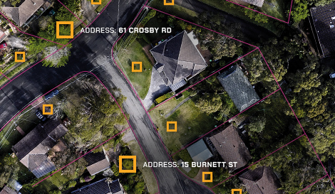
The challenge for state and territory governments was the need to access accurate, updated and consistent location data across the other states and territories and to incorporate this into online applications to enable users to apply for a COVID border pass easily.
Geoscape moved quickly to provide nationally consistent location data in the form of ready-to-use APIs for state and territory governments to use to roll out their own systems. Geoscape reached new scales to provide cloud-based solutions so the APIs would work seamlessly with the cloud-based COVID Border Pass applications.
Download the case study to understand the challenge during COVID-19, our solution and the result.