Why customers prefer Geoscape
Australia-wide address data
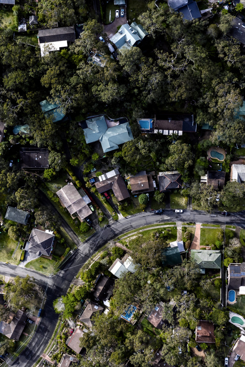
Geoscape’s GIS data covers the entire Australian continent. Wherever your area of interest, Geoscape has it covered – no matter how big or small. Geoscape delivers a clear picture of our complex cities, regional centres and rural communities across Australia’s 7.6 million square kilometres.

Consistently Formatted
Geoscape gathers data from multiple, reputable sources before putting it through our quality control process to aggregate, standardise and validate the source data to deliver consistently formatted spatial data, ready to use in your preferred software.

Reliable data, trustworthy sources
Overcome the challenge of combining data sources fragmented by region and type. Get comprehensive data from Geoscape. With a dataset of over 15 million+ addresses continually updated from over 100 reputable sources including G-NAF, you can feel confident in the accuracy and reliability of our GIS data.
Australia at your fingertips
Save time & boost productivity
Whether your goal is to power projects and processes, or to create your own location-based solution, with Geoscape’s quality GIS data in Shapefile format you can spend less time gathering data and more time generating powerful insights. Reduce manual labour and increase productivity!

Cut costs & improve efficiency
Geoscape’s sophisticated data in Shapefile format can help you fuel your projects, processes or products. With Geoscape location data you can significantly reduce costs in certain areas and improve overall efficiency.

Improve decision making
Location-based analysis can reveal illuminating insights for businesses and fuel predictive analysis. Geoscape’s comprehensive, reliable GIS data in Shapefiles are ready for use in GIS software, saving you time and allowing you to make better, more informed business decisions, faster!